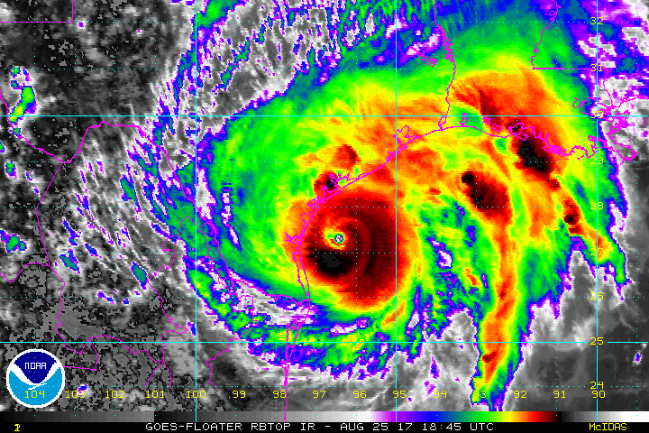
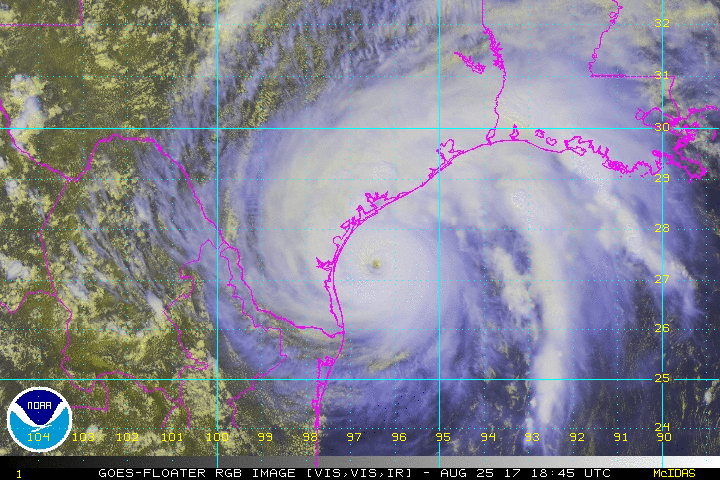
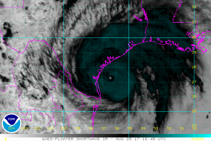
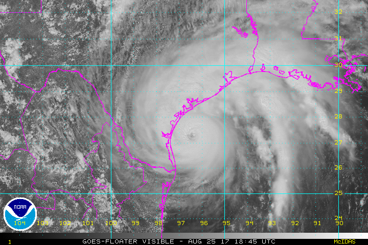
Images of Hurricane Harvey

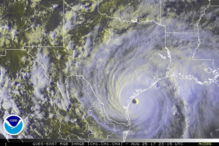
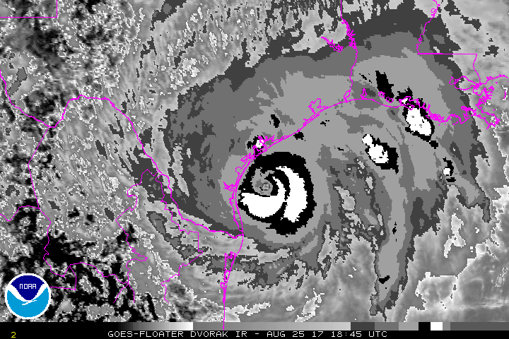
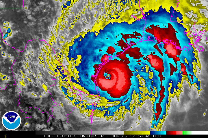
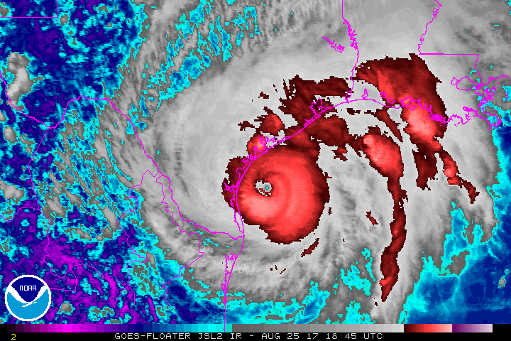
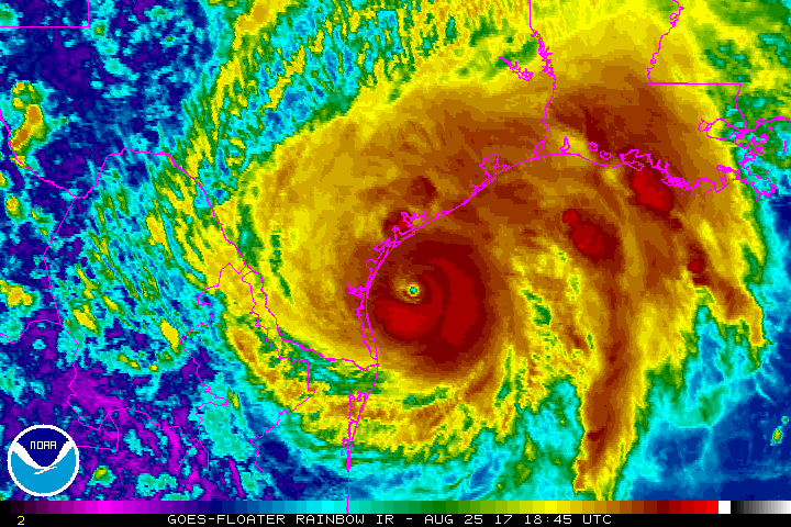
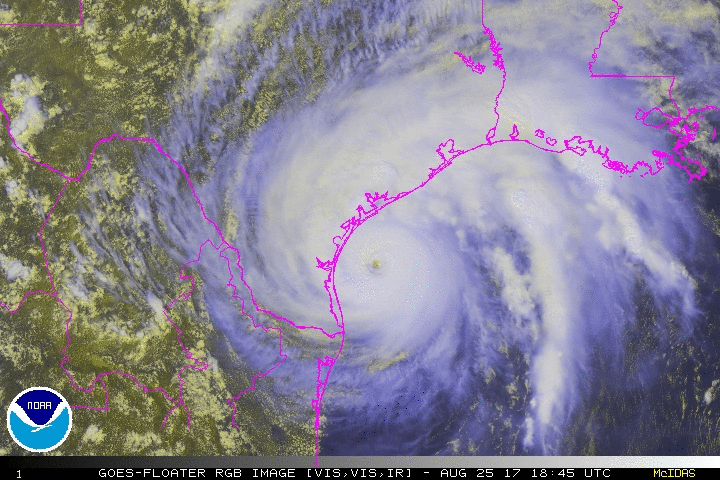
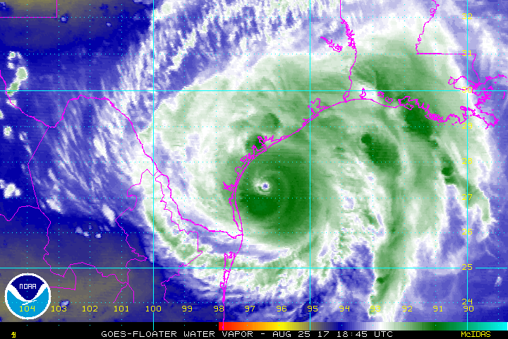
Hurricane Harvey near Landfall between Port Aransas and Port O'Connor, Texas,
23:15Z, August 25, 2017
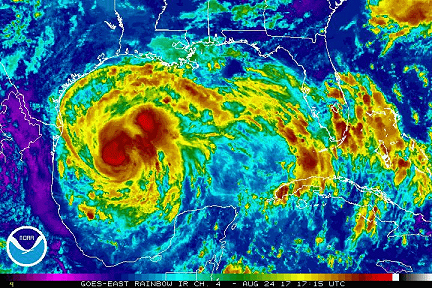
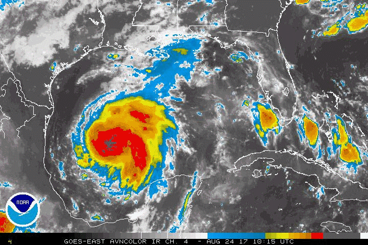
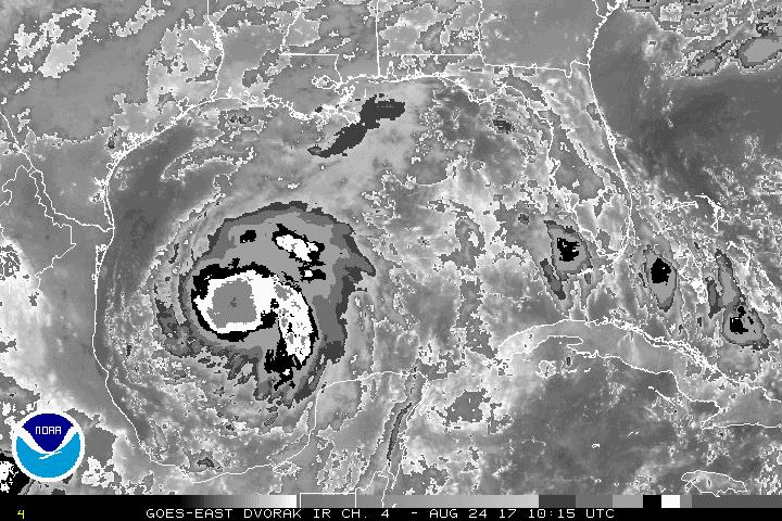
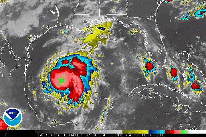
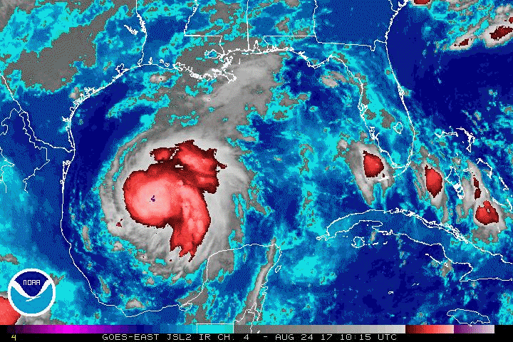
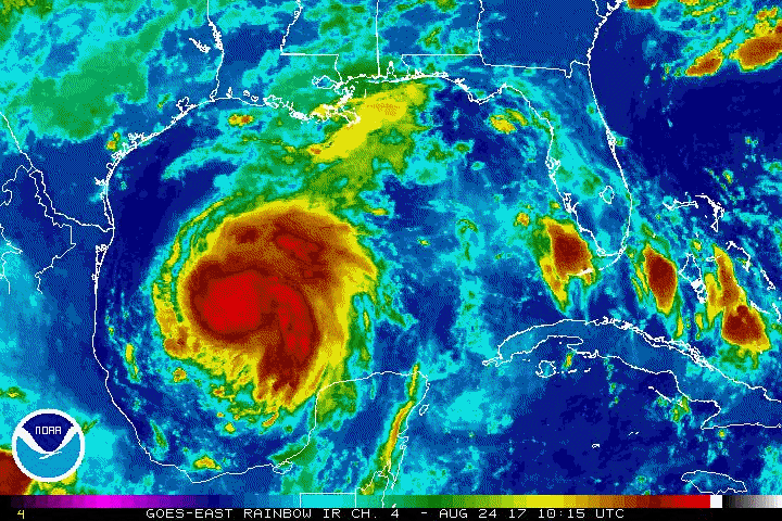
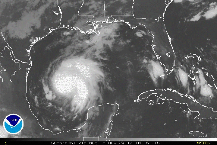
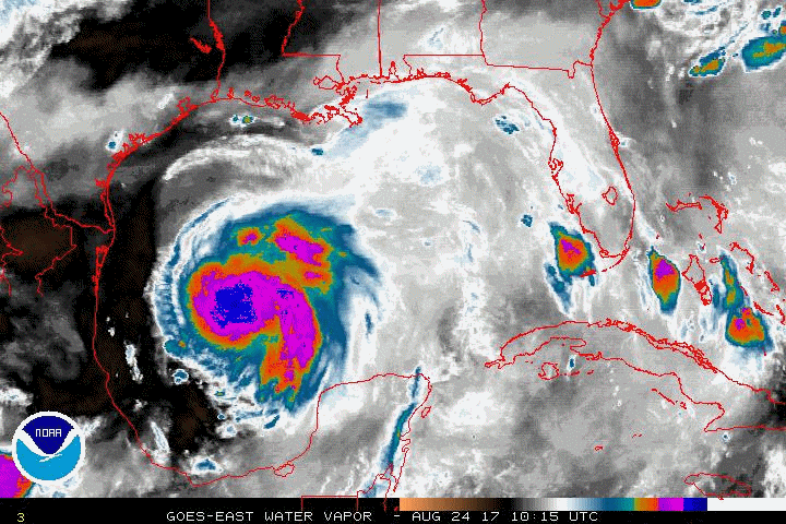
Harvey becomes a Hurricane, August 24, 2017 17:15Z

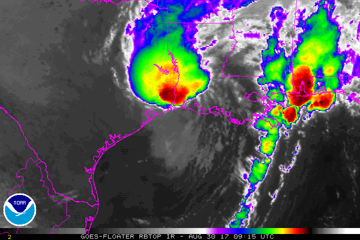
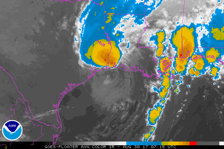
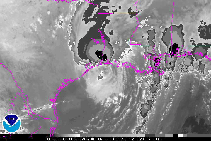
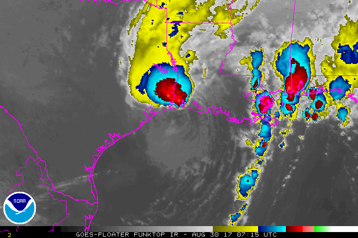
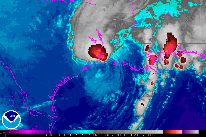
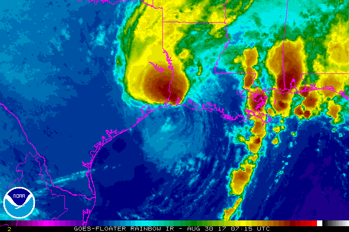
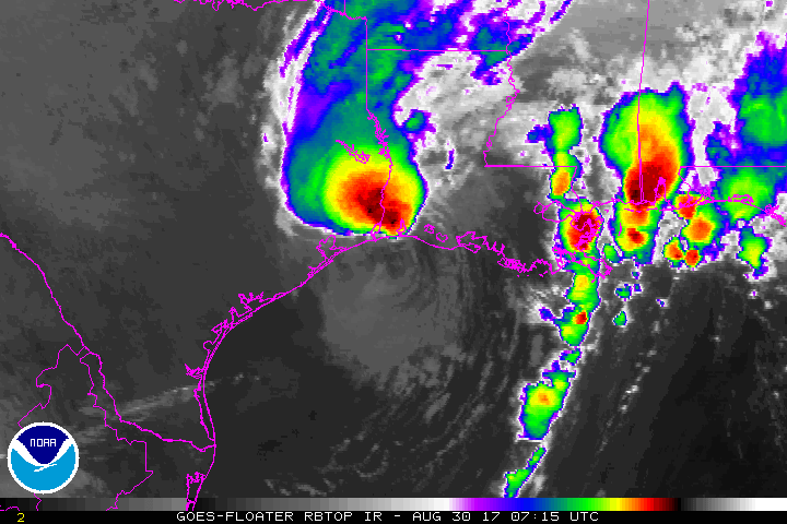
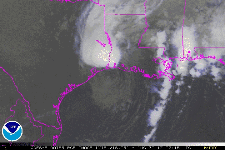
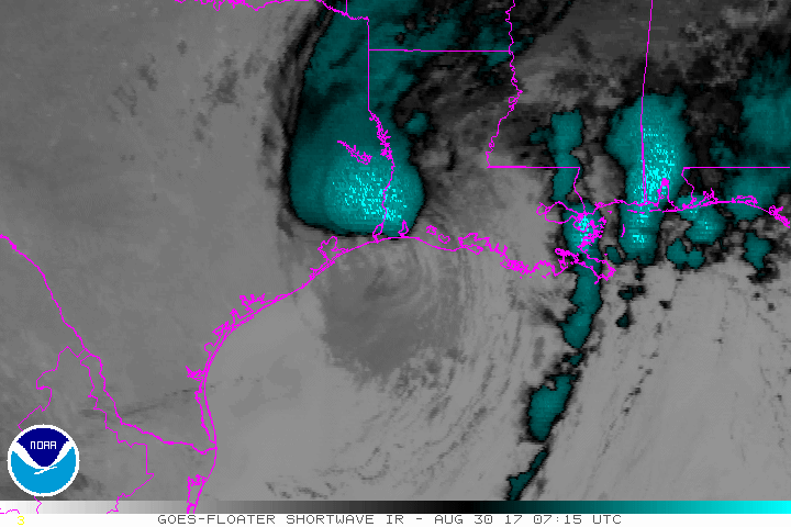
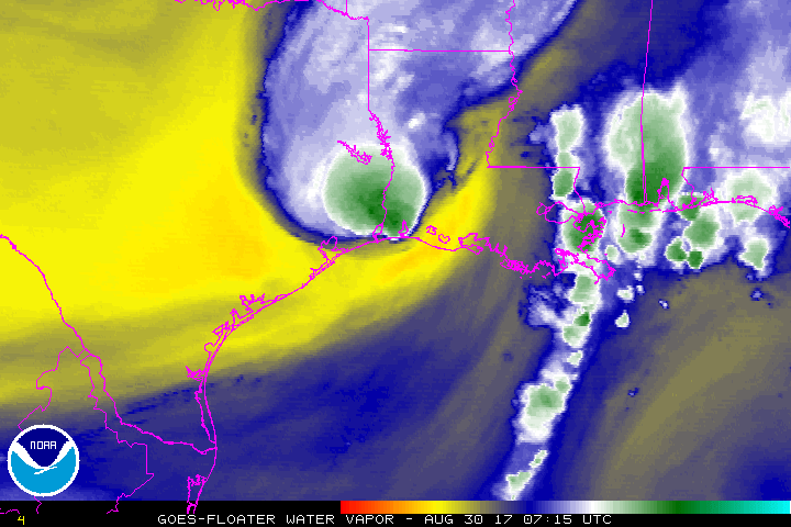
Harvey makes second U.S. landfall just west of Cameron, Louisiana
August 30, 2017 09:15Z
|
Selected Harvey Animated Gifs
The size of these files vary from about 1Mb to about 18 Mb. Please check the notice with each group of images for the appropriate size. Larger image files will take longer to load.
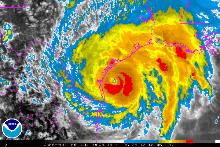
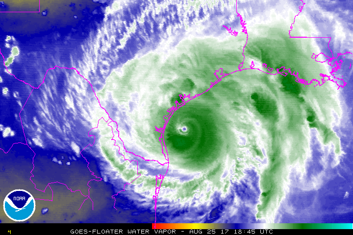
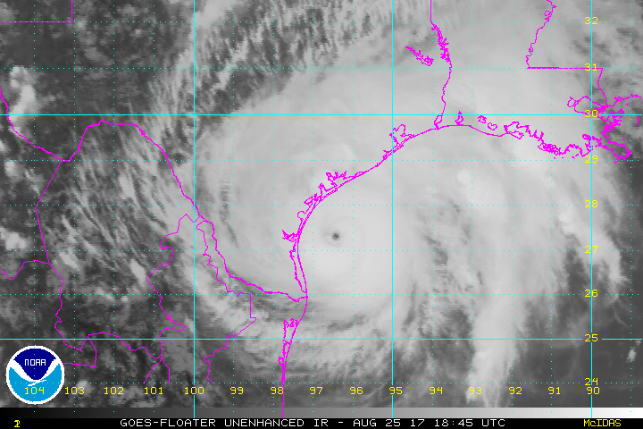
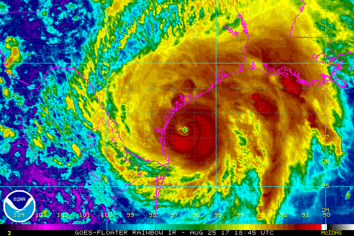
Landfall in Texas
between Port Aransas & Port O'Connor:
August 25, 2017 1845Z to August 26, 2017 0145Z
(File sizes range from 1.5Mb to 4Mb)
AVN |
BD |
FT |
IR |
JSL |
RB |
RBTOP
RGB |
SWIR |
VIS |
WV
With Latitude and Longitude lines:
AVN |
BD |
FT |
IR |
JSL |
RB |
RBTOP
RGB |
SWIR |
VIS |
WV
Landfall in Louisiana
just west of Cameron, Louisiana
August 30, 2012 07:15Z to August 30, 11:45Z
(File sizes are less than 1.3Mb)
AVN |
BD |
FT |
IR |
JSL |
RB |
RBTOP
RGB |
SWIR |
VIS |
WV
Gulf of Mexico
August 24, 2017 10:15Z to August 31, 23:15Z
(File sizes range from 17.1Mb to 39.5Mb)
AVN |
BD |
FT |
IR |
JSL |
RB |
RGB |
VIS |
WV
South Central U.S.
August 24, 2017 10:15Z to August 31, 22:15Z
(File sizes range from 11.7Mb to 16.4Mb)
AVN |
BD |
FT |
IR |
JSL |
RB |
RGB |
VIS |
WV
Image enhancement and abbreviation information
|