»
OSPO Home
»
DOC
»
NOAA
»
NESDIS
»
OSPO
Products
Atmosphere
Land
Ocean
Suites
Imagery
Hazard Imagery
Hazard Mapping System
Tropical Cyclones
Washington VAAC
Marine Pollution
Sea Surface Temperature
Our Satellites
GOES
POES
JPSS
MetOp
Jason
DMSP
Resources
Satellite Alerts
Ingest Logs
Documents & Reports
INR Statistics
Pre product processing
Data Access
Weekly Operations Plan
Navigation Summary
Services
About
Mission
Leadership
Organization Chart
History
Wallops CDA
Fairbanks CDA
Contact Us
Washington VAAC Home
Satellite Imagery Viewer
GOES-East
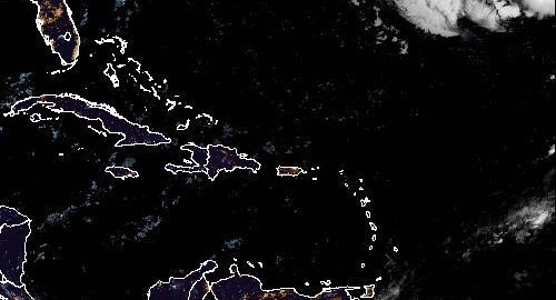
Caribbean - GOES-East
Detailed Product Information >
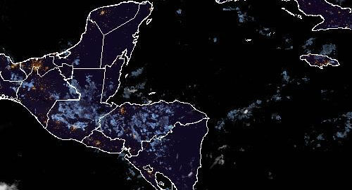
Central America - GOES East
Detailed Product Information >
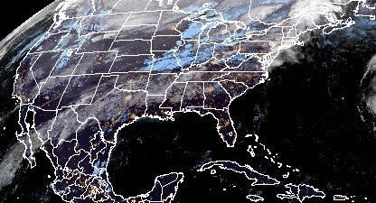
CONUS - GOES-East
Detailed Product Information >
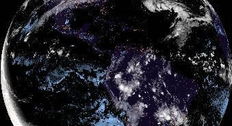
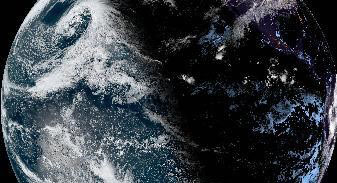
Full Disk GOES-East
Detailed Product Information >
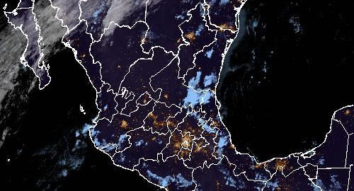
Mexico - GOES-East
Detailed Product Information >
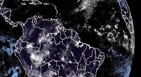
Northern South America - GOES-East
Detailed Product Information >
GOES-West
Full Disk GOES-West
Detailed Product Information >
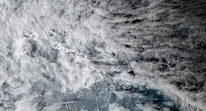
Hawaii - GOES-West
Detailed Product Information >
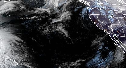
Pacific Northwest - GOES-West
Detailed Product Information >