When you watch the news and see pictures of weather from around the United States or the world, you are seeing data from the National Oceanic and Atmospheric Administration's (NOAA) environmental satellites recovered and delivered to either the Wallops or Fairbanks Command and Data Acquisition Stations (CDAS). The CDA Stations are operated for National Environmental Satellite, Data, and Information Service (NESDIS) by the Office of Satellite and Product Operations and are located in remote locations in Fairbanks Alaska and Wallops Island Virginia to minimize radio frequency interference so prevalent in more urban areas. NOAA's environmental satellites provide data from space to monitor the earth to analyze the coastal waters, relay lifesaving emergency beacon information, and track tropical storms/hurricanes. The CDAS deliver this data 24 hours a day 7 days a week 365 days a year—nonstop. These stations acquire, maintain, and distribute a continuous flow of meteorological satellite data and execute spacecraft commands on a 24/7 basis. But the two stations are not exactly alike. FCDAS is primarily a Low Earth Orbiting facility with a large contracted staff, while WCDAS focuses primarily on Geostationary satellites and is primarily a federally staffed facility with a COOP backup located at Fairmont WV.
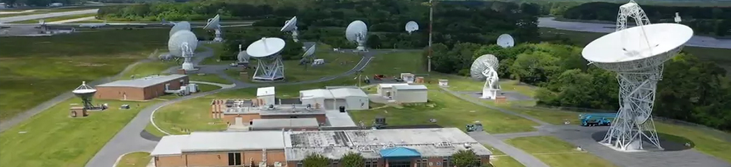
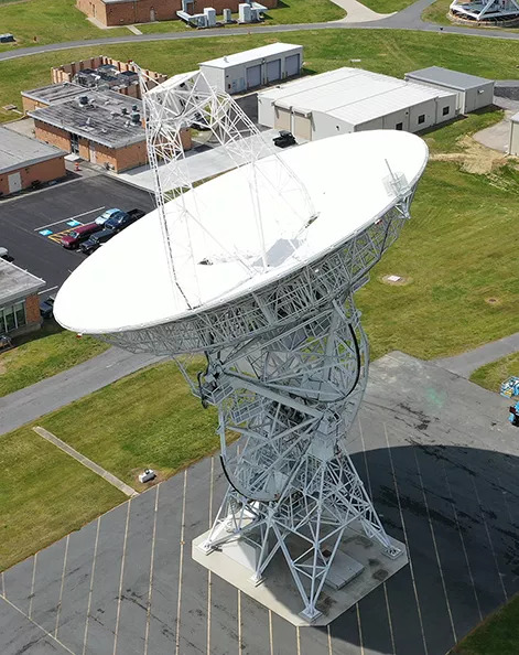
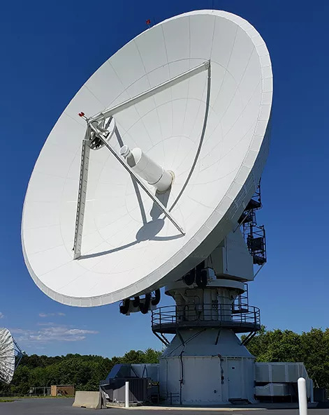
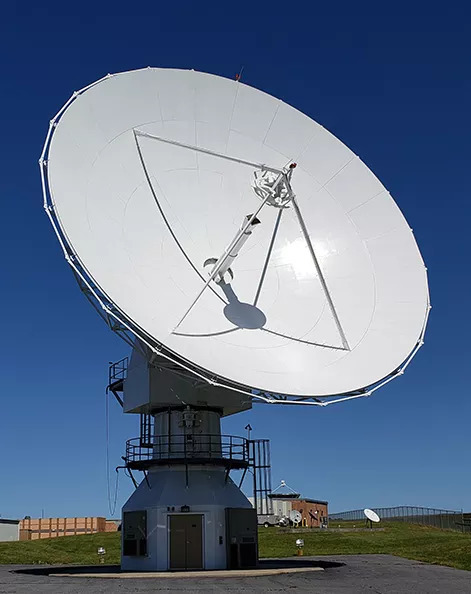
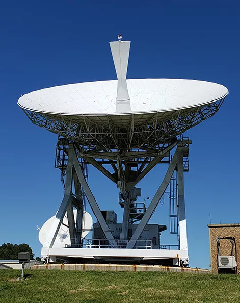
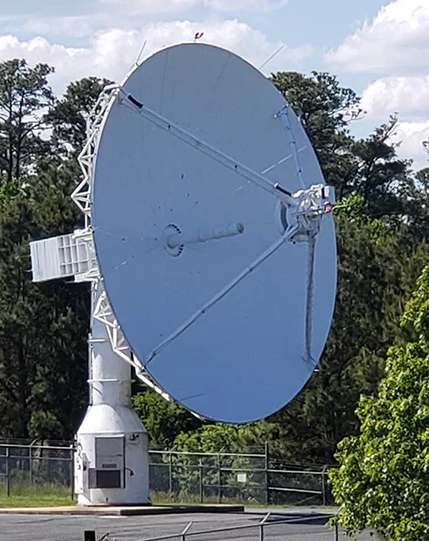
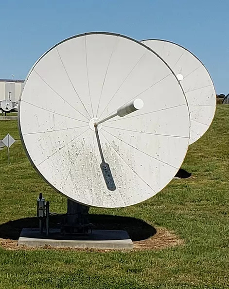
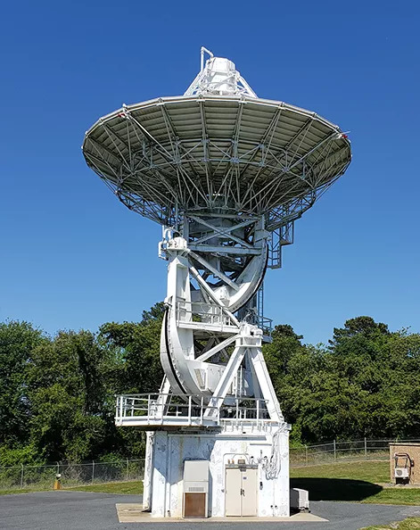
The original Wallops permit was signed in 1965 and after construction, the station has continuously provided weather service to the nation ever since, and is currently operating and maintaining 16 antennas for the nation. Though the Wallops CDA Station's primary operational mission is to provide satellite downlink capabilities for Geostationary satellites, the station also operates NOAA's Low Earth Orbiting (POES) satellites, Deep Space (space weather—DSCOVR and ACE), remote ground station operations for the US Space Force (EWS-G1), and supports the Data Collection Service (DCS—over 800,000 messages per day). In the future, the station will support the Space Weather Follow On (SWFO) satellite, United States Space Force missions, and an Indian space weather mission. In addition, the station provides backup continuity of operations for Search and Rescue Satellite Aided Tracking (SARSAT) and operates the Radio Frequency Interference Monitoring System (RFIMS). The station also plans, designs, and implement system modifications, tests and evaluates new systems and techniques for satellite tracking and communications, while also assisting with developing emergency procedures to safeguard spacecraft health and safety. It independently executes emergency plans in the event of outages with NESDIS Satellite Operations Control in Suitland Maryland.
In order to accomplish the WCDAS mission, the station employs a number of highly dedicated federal and contracted staff. The bulk of the staff are skilled electronic technicians who ensure the station operates 24/7. In addition, the staff hosts engineers, a scientist, IT staff, facilities personnel and support staff. These personnel work as a team to ensure every aspect of the station's facilities are maintained in optimal working order to achieve mission success. The station works closely with multiple organizations within NESDIS—all critical to the success of the station. In essence the WCDAS is like a mini city and is required to maintain every aspect of the facility--from operating the mission, to recruitment, staff training, facilities sustainment, safety, security, facilities upkeep, budget/acquisitions, and HR actions. The staff also performs general administration, interagency interactions, and union negotiations to ensure a continuous flow of data for the nation's weather forecasters. All of their efforts allows the station to process over 41.7 megabits/second daily and with the launch of GOES 16 and 17, WCDAS helps produce over 7 terabytes of data per day for the safety and security of the nation.
| Antenna | Receive Bands | Gain (dBi) | Transmit Bands | Latitude (N) | Longitude (E) | Elevation (m) |
|---|---|---|---|---|---|---|
| 26 METER | VHF/L/S | 27.0/43.7/48.8 | 37° 56' 48.080" | 284° 32' 28.691" | 23.4 | |
| 14.2 METER | VHF/L/S/X | 22.4/43.5/44.1/46.6/55.0 | S | 37° 56' 48.390" | 284° 32' 23.773" | 12.6 |
| 13 METER A | L/S/X | 43.1/44.0/55.0 | L/S | 37° 56' 50.041" | 284° 32' 9.938" | 18.0 |
| 13 METER B | L/S/X | 43.1/44.0/55.0 | L/S | 37° 56' 50.809" | 284° 32' 17.040" | 16.3 |
| 18 METER A | S | 49.0 | S | 37° 56' 45.158" | 284° 32' 22.404" | 20.4 |
| 16.4 METER HR1 | L/S | 48.4/50.0 | L | 37° 56' 43.797" | 284° 32' 19.912" | 19.9 |
| 16.4 METER HR2 | L/S | 48.4/50.0 | L | 37° 56' 43.533" | 284° 32' 16.476" | 20.0 |
| 16.4 METER HR4 | L/S/X | 47.7/50.2/59.6 | S/X | 37° 56' 46.100" | 284° 32' 13.40" | |
| 16.4 METER HR5 | L/S/X | 47.7/50.2/59.6 | S/X | 37° 56' 44.100" | 284° 32' 13.50" | |
| 16.4 METER HR6 | L/S/X | 47.7/50.2/59.6 | S/X | 37° 56' 47.440" | 284° 32' 16.57" | |
| 8 METER | L | 40.3 | S | 37° 56' 44.800" | 284° 32' 18.350" | 9.2 |
| 7.2 METER | L | 39.1 | 37° 56' 43.000" | 284° 32' 26.000" | 7.3 | |
| 3.8 METER 1 | UHF | 22.5 | UHF | 37° 56' 43.200" | 284° 32' 19.200" | |
| 3.8 METER 2 | UHF | 22.5 | UHF | 37° 56' 43.220" | 284° 32' 18.640" | |
| 3.8 METER 3 | UHF | 22.5 | UHF | 37° 56' 43.240" | 284° 32' 18.070" | |
| 1.2 METER | L | 24.0 | 37° 56' 44.000" | 284° 32' 24.000" |
35663 Chincoteague Road
Wallops Island, Virginia 23337
+1-757-824-3446