Images of Hurricane Irma
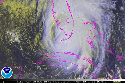
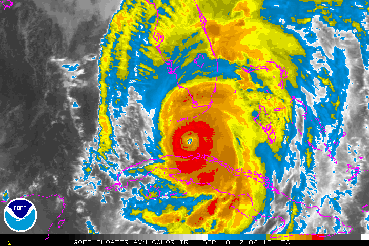
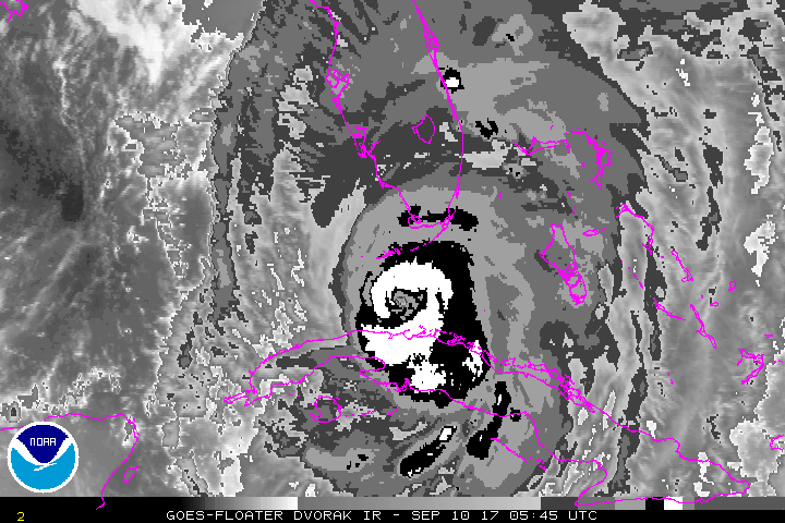
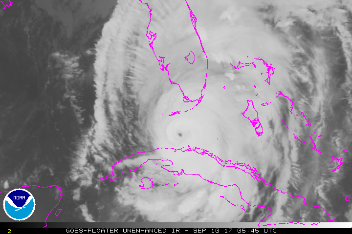
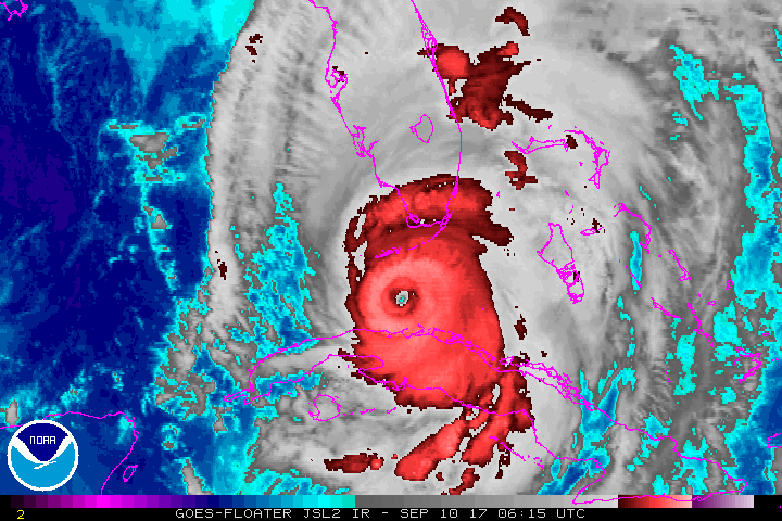
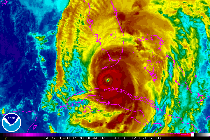
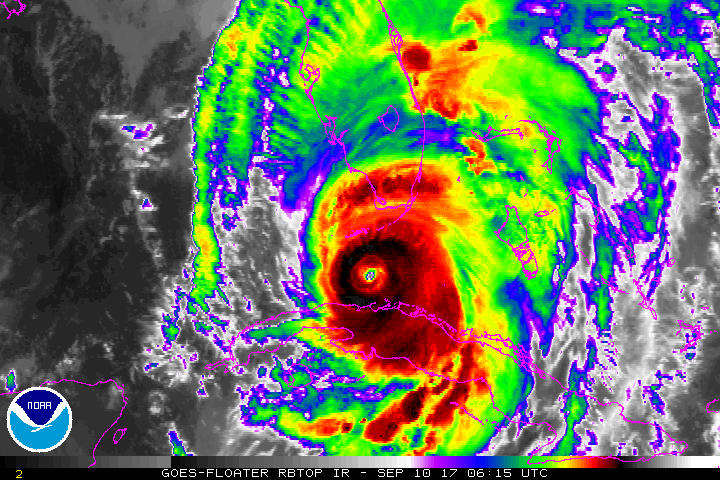
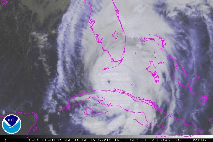
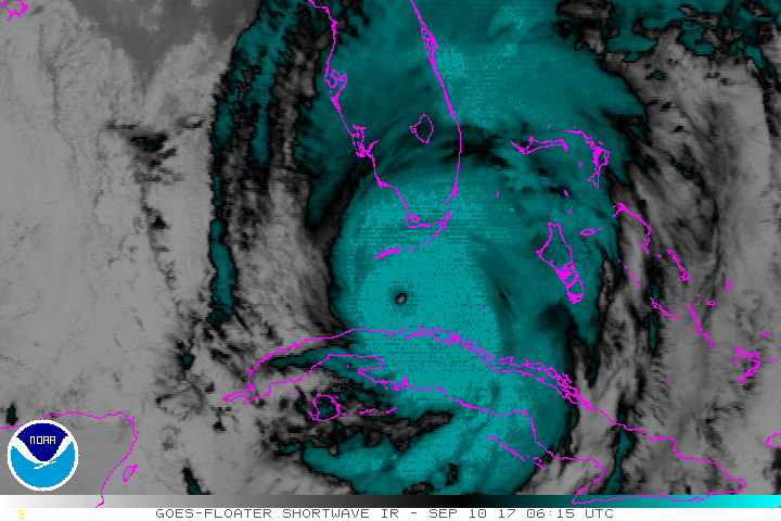
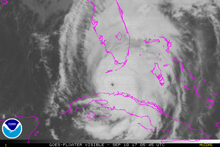
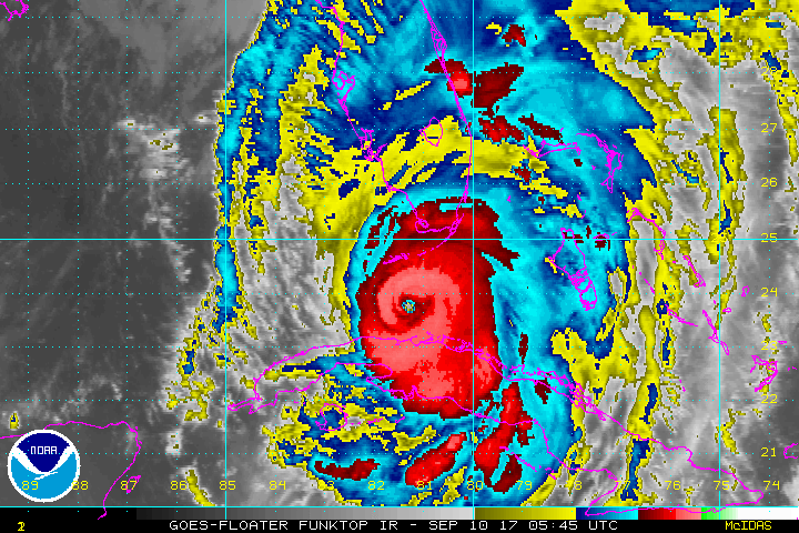
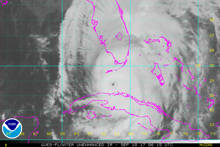
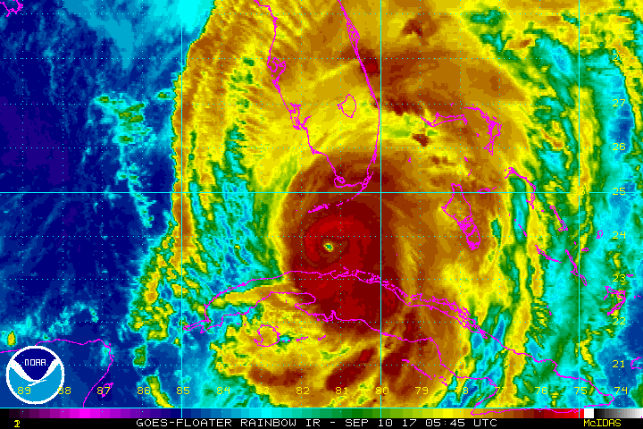
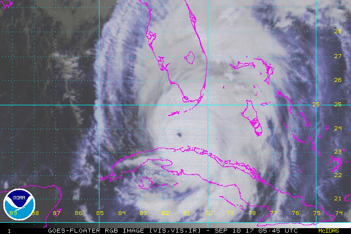
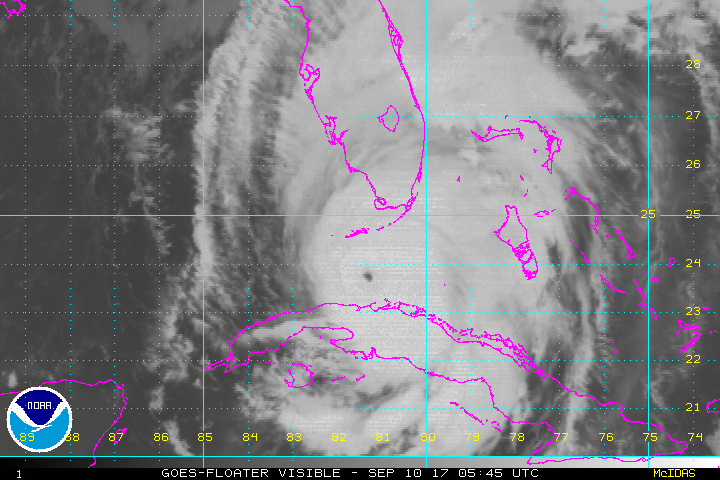
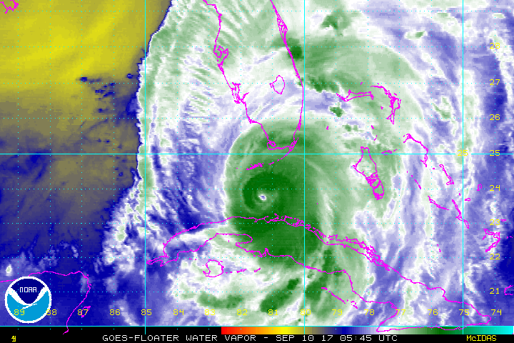
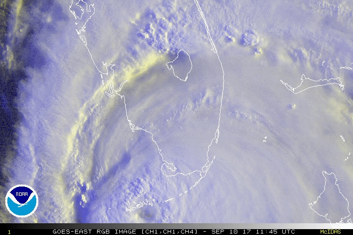
Hurricane Irma makes landfall at Cudjoe Key, Florida September 10, 2017
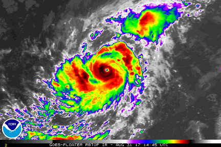
Irma becomes a Hurricane with the 15:00Z Advisory on August 31, 2017
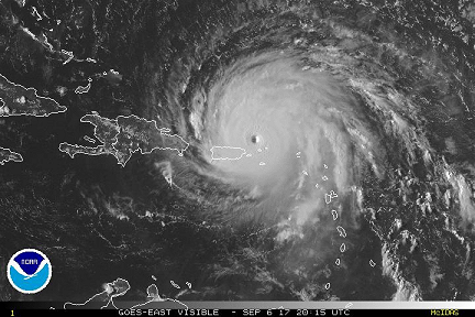
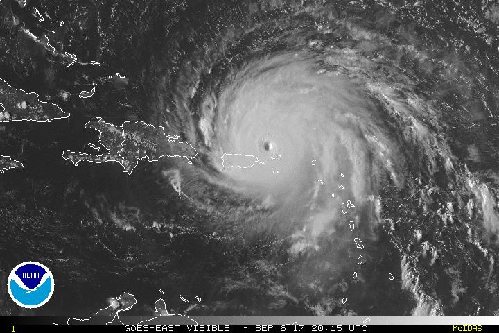
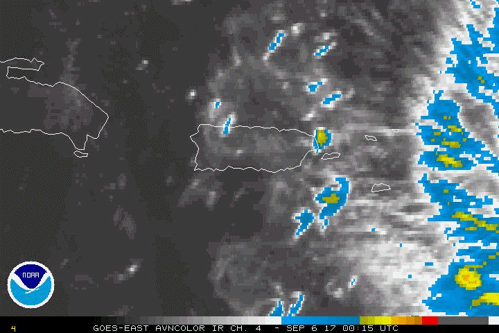
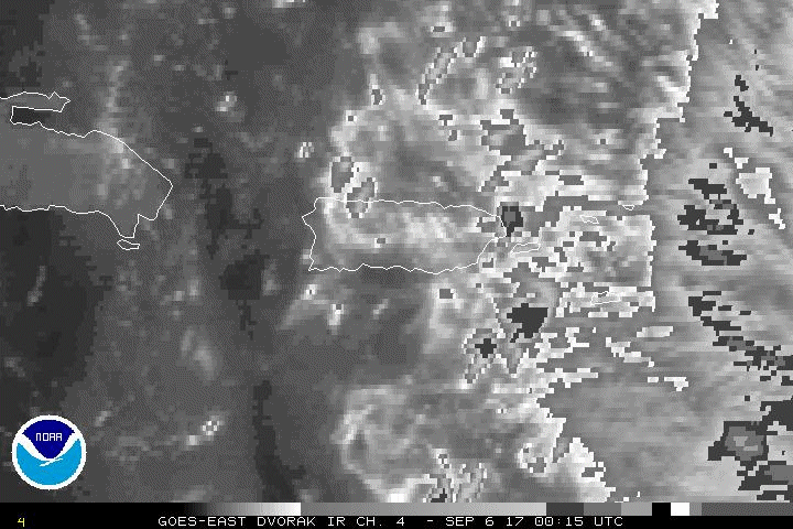
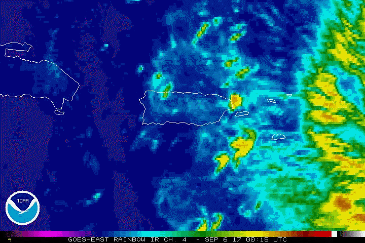
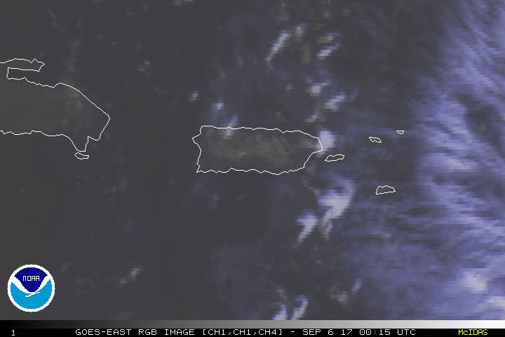
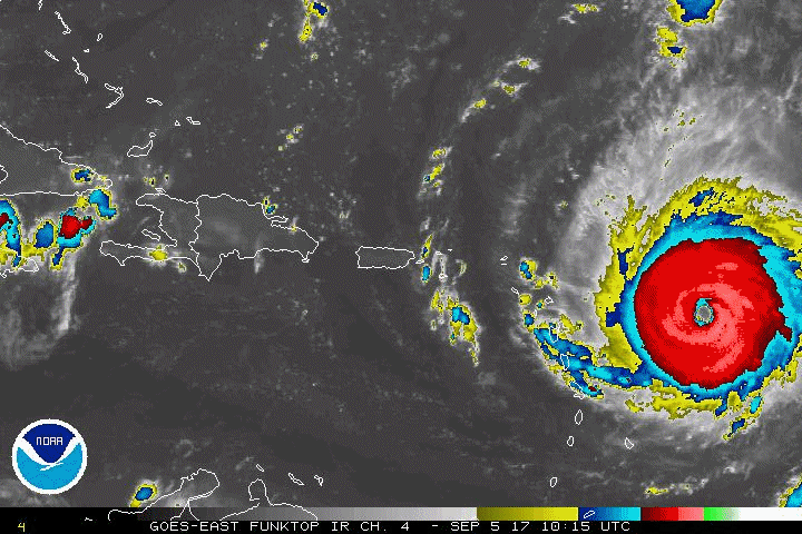
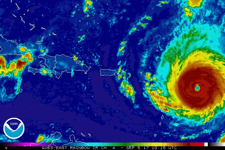
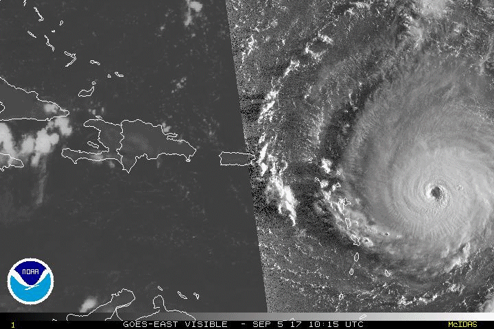
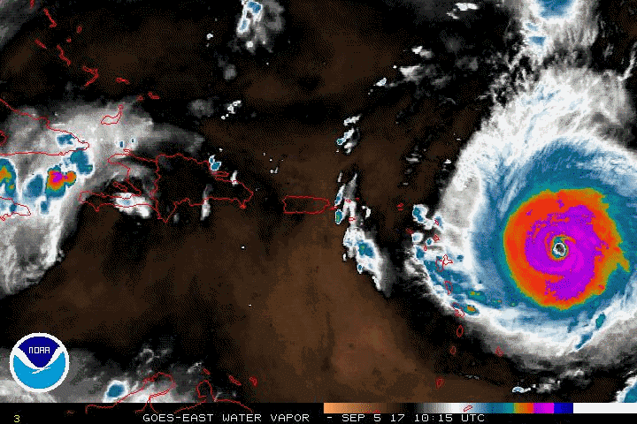
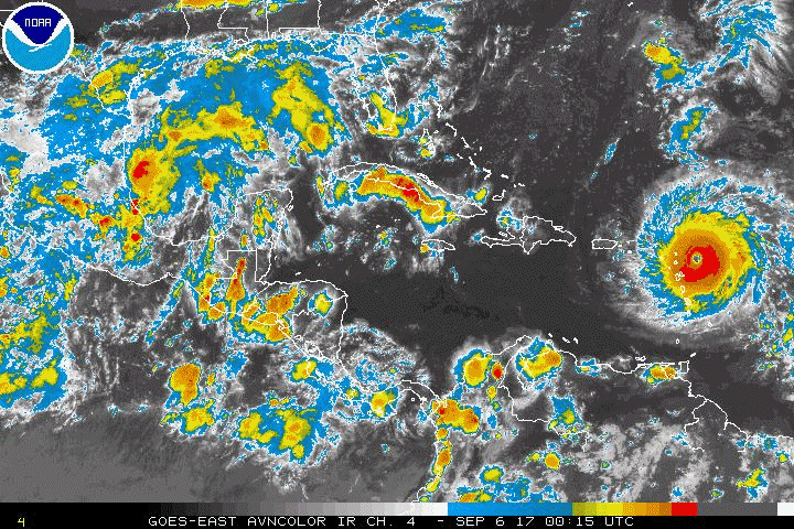
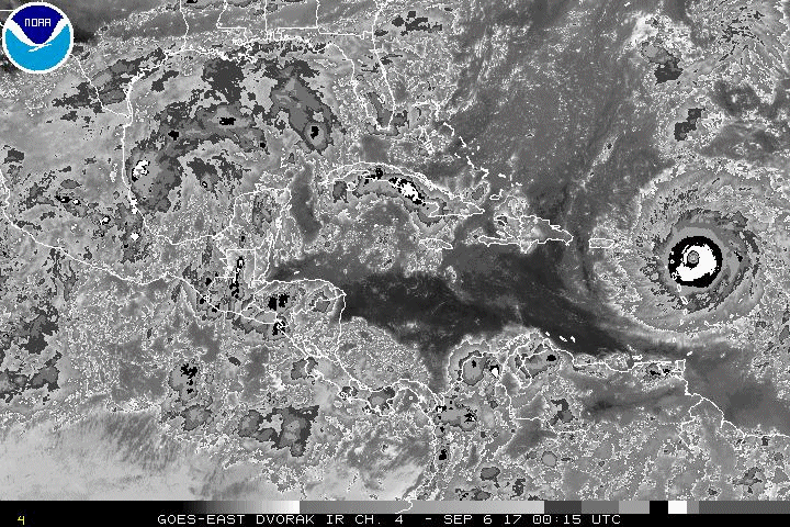
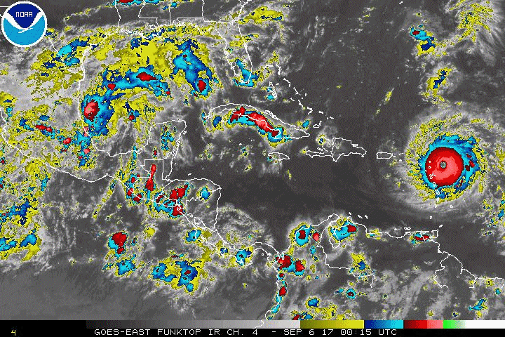
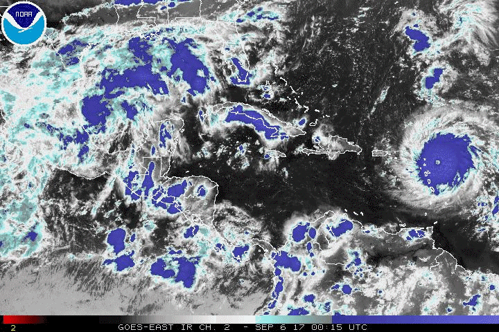
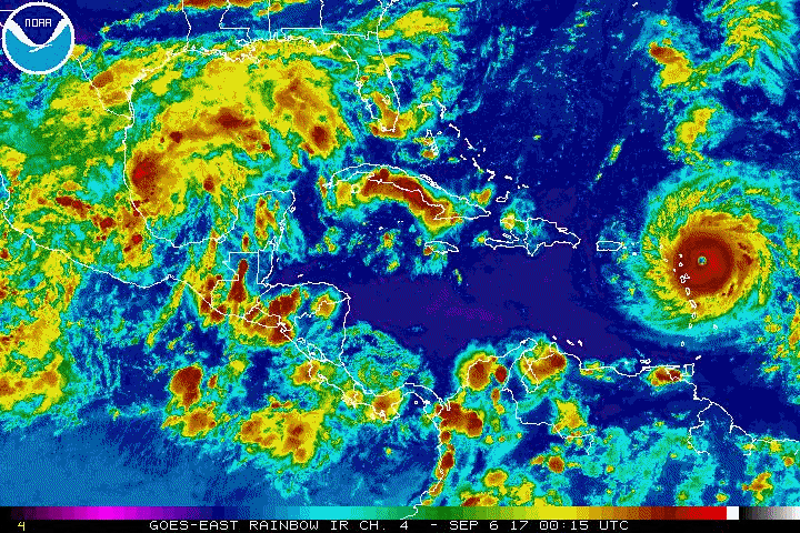
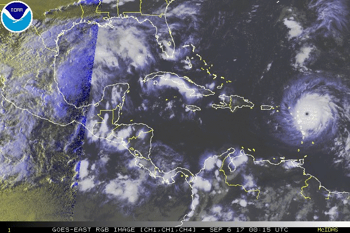
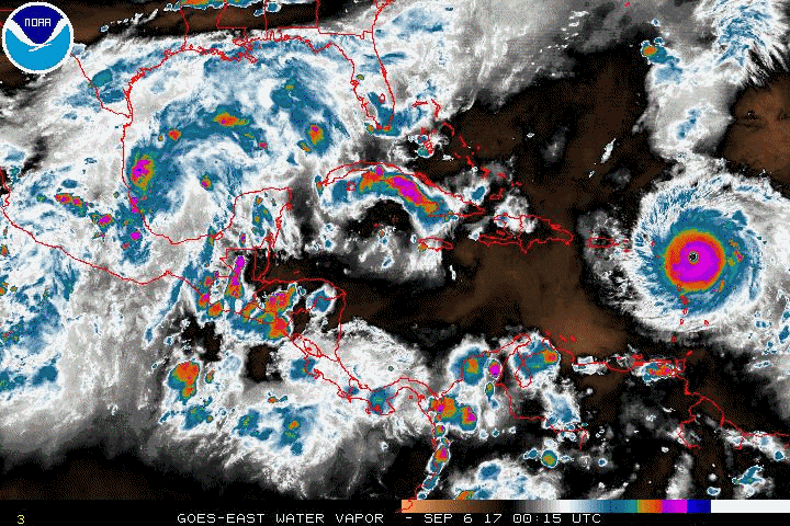
Hurricane Irma north of Puerto Rico and the Virgin Islands, 20:15Z, September 6, 2017
|
Selected Irma Animated Gifs
The size of these files vary from about 1Mb to about 18 Mb. Please check the notice with each group of images for the appropriate size. Larger image files will take longer to load.
Landfall, Cudjoe Key, Florida
at 9:10 pm EDT as a Category 4 hurricane.
September 10, 2017 0615Z to 1315Z
(File sizes range from 1Mb to 3.8Mb)
AVN |
BD |
FT |
IR |
JSL |
RB |
RBTOP
RGB |
SWIR |
VIS |
WV
With Latitude and Longitude lines:
AVN |
BD |
FT |
IR |
JSL |
RB |
RBTOP
RGB |
SWIR |
VIS |
WV
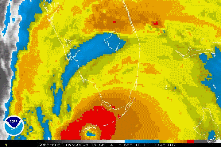
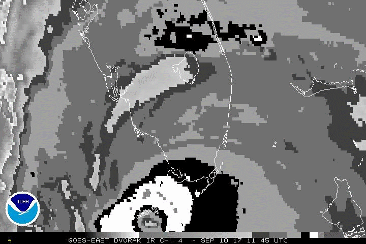
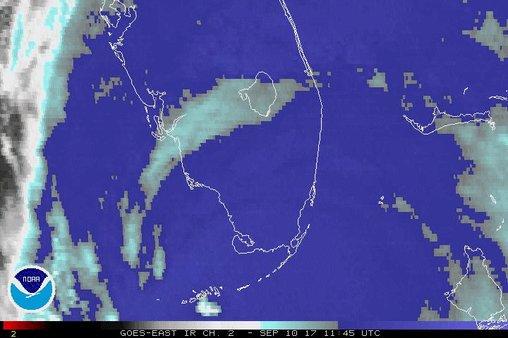
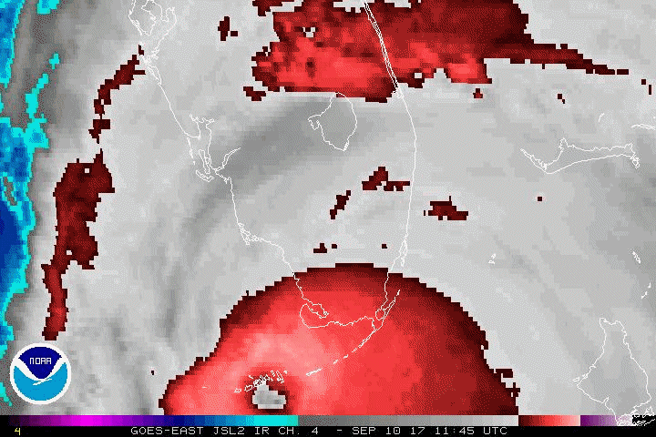
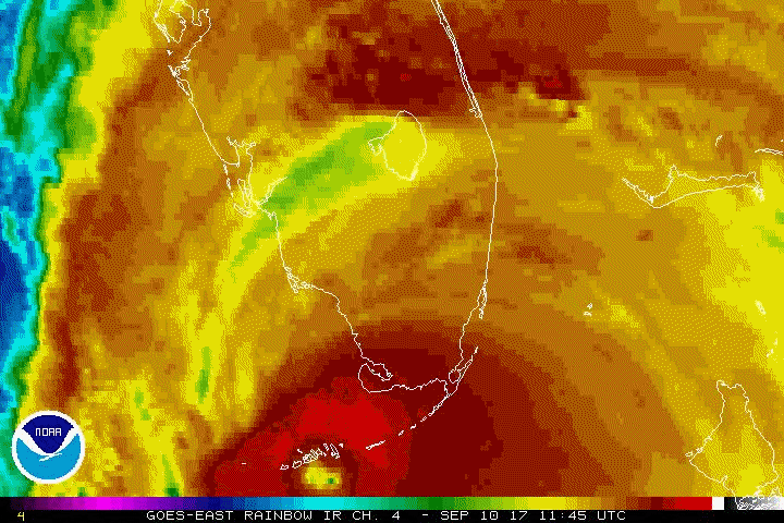
Landfall in in Marco Island, Florida
at 3:35 pm EDT as a Category 3 hurricane.
September 10, 2017 1145Z to 1930Z
(File sizes range from 1Mb to 2.4Mb)
AVN |
BD |
FT |
IR |
IR2 |
JSL |
RB |
RGB |
VIS
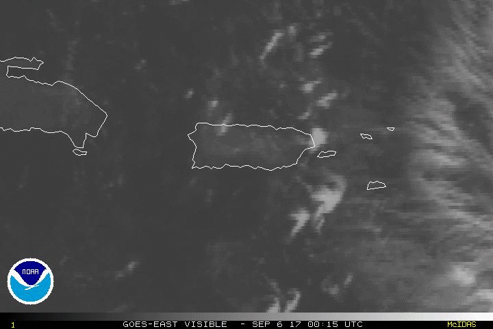
Puerto Rico Area (1 km resolution):
September 6, 2017 00:15 UTC to September 8, 11:00 UTC
(File sizes range from 11.7Mb to 18.2Mb)
AVN |
BD |
FT |
IR |
JSL |
RB |
RGB |
VIS
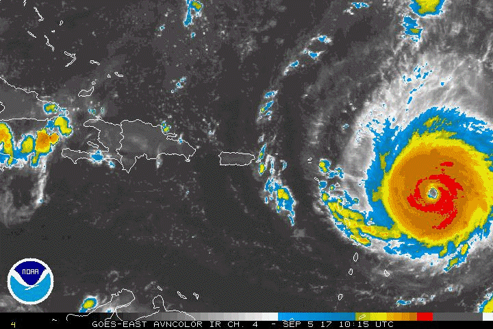
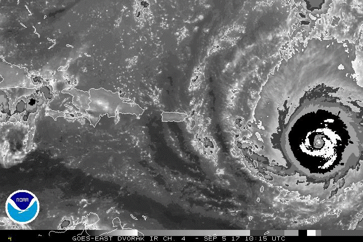
Puerto Rico Area (3 km resolution):
September 5, 2017 10:15 UTC to September 8, 15:15 UTC
(File sizes range from 10.1Mb to 15.1Mb)
AVN |
BD |
FT |
IR |
JSL |
RB |
RGB |
VIS |
WV
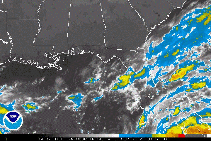
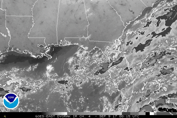
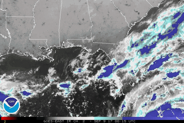
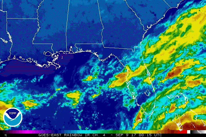
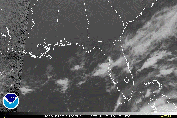
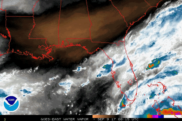
Overview, Southeast U.S.
0015Z September 9, to 1515Z September 12, 2017
(File sizes range from 10.1Mb to 15.3Mb)
AVN |
BD |
FT |
IR |
IR2 |
JSL |
RB |
RGB |
VIS |
WV
Overview, Western Atlantic
0015Z September 6, to 2215Z September 11, 2017
(File sizes range from 11.5Mb to 15.9Mb)
AVN |
BD |
FT |
IR |
IR2 |
JSL |
RB |
RGB |
VIS |
WV
Image enhancement and abbreviation information
|