|
||
|
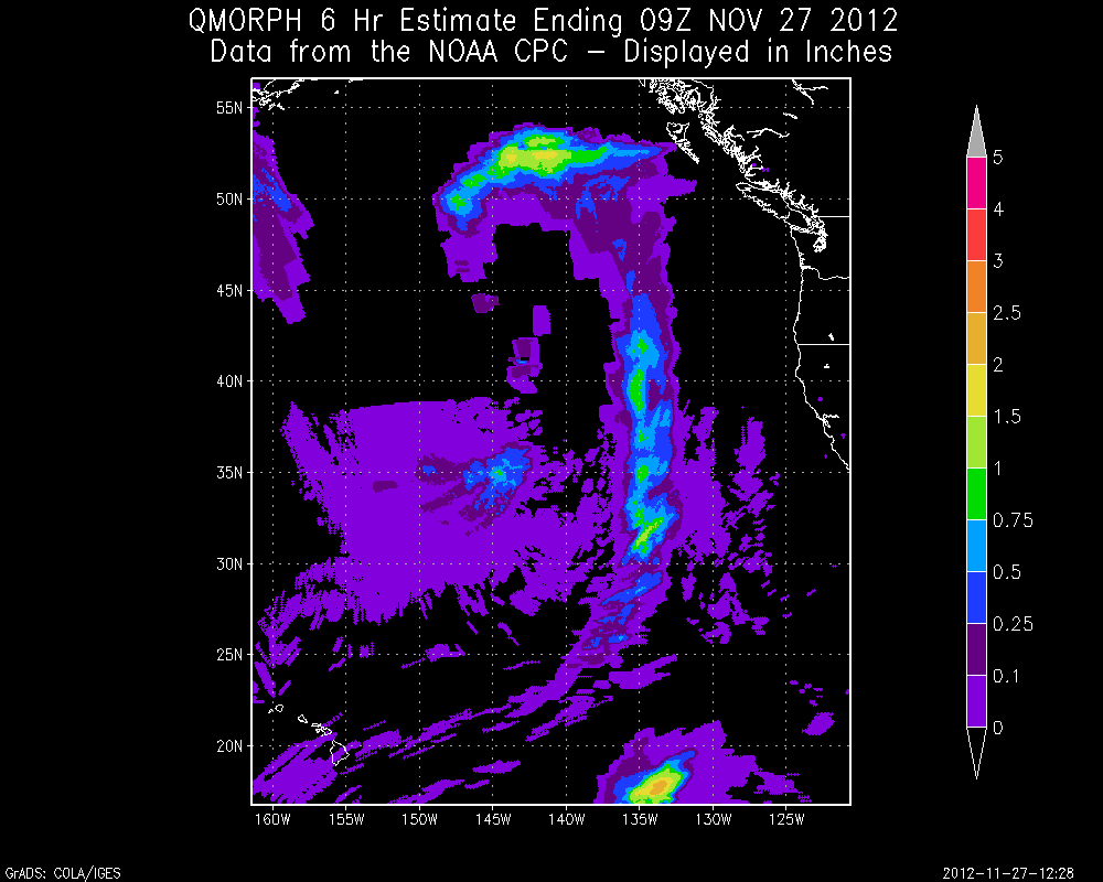
"QMORPH" is a variation of the NOAA Climate Prediction Center Morphing Technique ("CMORPH") that uses precipitation estimates derived from low orbiter satellite microwave observations exclusively, and whose features are transported via spatial propagation information that is obtained entirely from geostationary satellite IR data. Instantaneous precipitation estimates derived from the passive microwave sensors aboard several polar orbiting satellites are combined to create the CMORPH and QMORPH datasets. Note that this technique is not a precipitation estimation algorithm itself but a means by which estimates from existing microwave rainfall algorithms can be combined.
IR data are used as a means to transport the microwave-derived precipitation features during periods when microwave data are not available at a location. CMORPH uses two microwave passes over a given location to interpolate precipitation estimates forward and backward in time while QMORPH only uses one microwave pass to interpolate the precipitation estimates forward in time. Because of this difference in the two products, QMORPH is available about 3 hours after real-time while CMORPH is available about 18 hours after real-time. The NOAA/NESDIS Satellite Analysis Branch uses the GRADS display program to add up QMORPH estimates over specified time periods. These estimates are being provided experimentally and on an as needed basis as determined by the analyst as a supplement to the Satellite Precipitation Estimate (SPENES) text messages. |
||