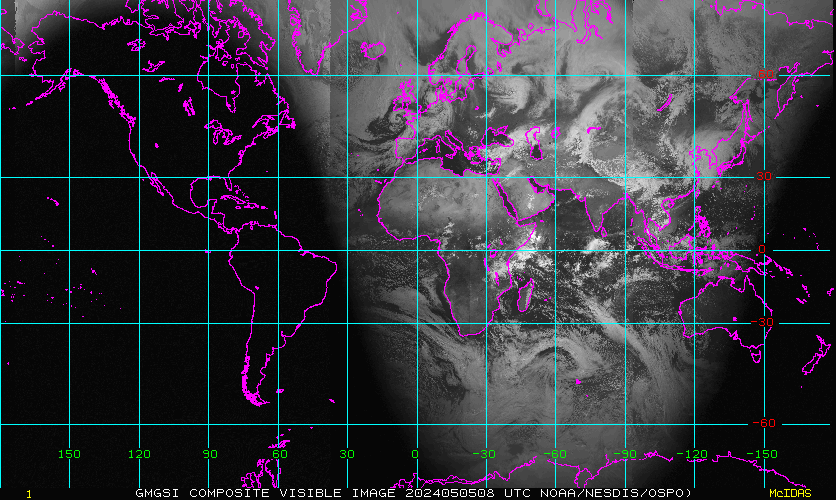
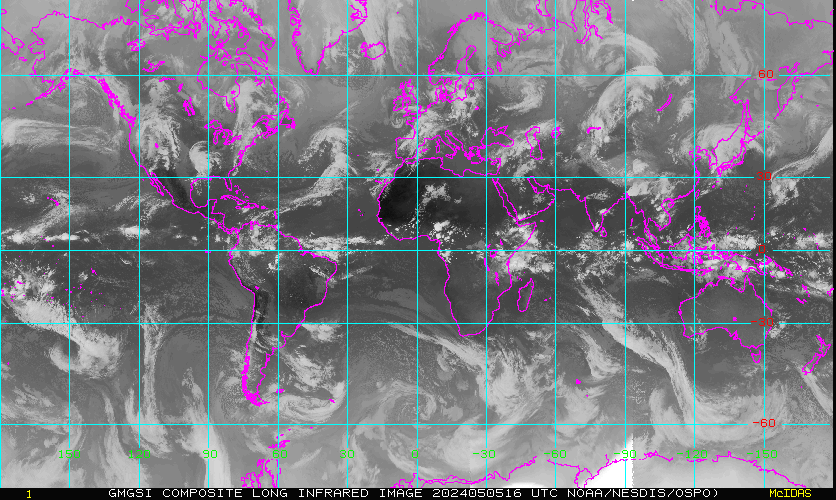
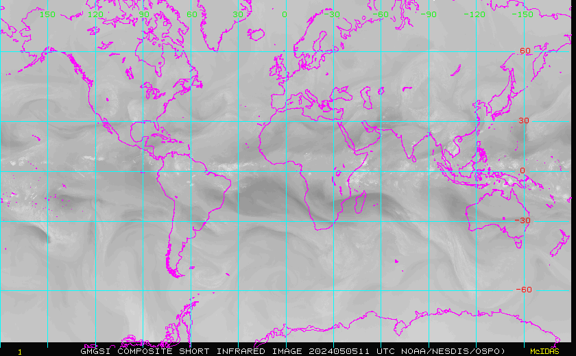
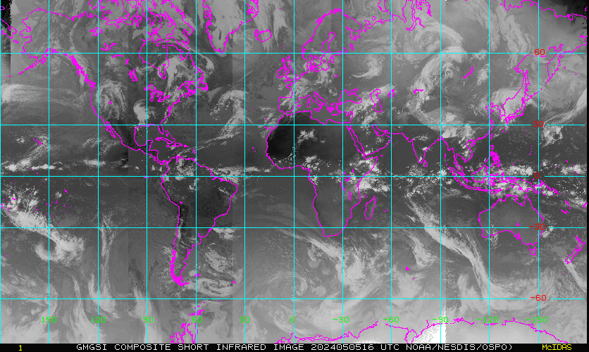
Global Mosaic of Geostationary Satellite Imagery
|
|
|
| Data Time | Visible (~0.6 µm) |
LW Infrared (~12.0 µm) |
Water Vapor (~6.7 µm) |
SW Infrared (~3.8 µm) |
|---|
| Visible (~0.6 µm) |
LW Infrared (~12.0 µm) |
Water Vapor (~6.7 µm) |
SW Infrared (~3.8 µm) |
|
|---|---|---|---|---|
| Animation (last 24 hrs) |
 |
 |
 |
 |