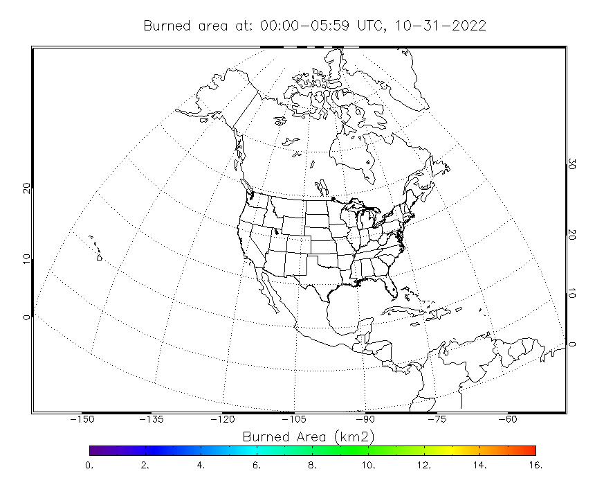
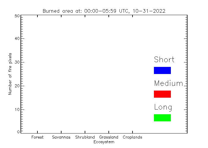
The Blended Polar Geo Biomass Burning Emissions Product (Blended-BBEP)The Blended-BBEP is a continuous product of biomass burning emissions, which is used to replace previous operational product. Previously, the Geostationary Operational Environmental Satellite Biomass Burning Emission Products (GBBEP) are produced from GOES-E and GOES-W fire products separately beginning in 2008. In these products, each emission species is stored in an individual ASCII file. Current Blended-BBEP is produced by blending fires detected from GOES-E, GOES-W, MODIS, and AVHRR. The outputs are written in both ASCII and netCDF files which include burned area and all emission species (PM2.5, CO, CH4, CO2, TNMHC, NH3, N2O, NOX, and SO2). Two burned area images are generated for visually monitoring the performance of the Blended-BBEP product. One is the spatial distribution of burned area, and the other is the statistic histogram of burned area. These two images provide the basic information of product quality. Specifically:
The Blended-BBEP is running for North America and produced every six hours.
|