VIIRS Vegetation Index (VI) Product SystemVIIRS Vegetation Index (VI) is a robust empirical measure of vegetation activity at the
land
surface, and has been widely used to study the spatial and temporal pattern of
vegetation
conditions at large scale with the objective to understand the role of terrestrial
vegetation in
regional and global processes, such as global carbon and nitrogen cycle, global
hydrological
cycle and global energy cycle. SNPPTOA NDVITop of the Atmosphere (TOA) Normalized Difference Vegetation Index (NDVI)
is calculated by using the aggregated TOA reflectance, which include TOA
reflectance... 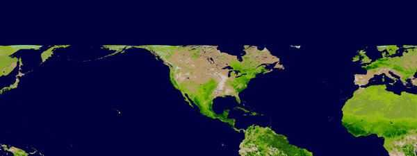
Local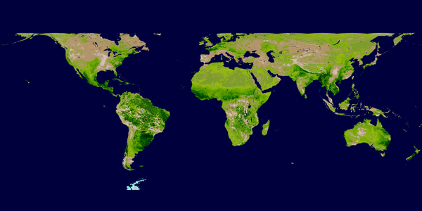
GlobalTOC NDVITop of the Canopy (TOC) Normalized Difference Vegetation Index (NDVI) is calculated by using the aggregated TOC reflectance, which include TOC reflectance in VIIRS... 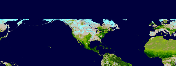
Local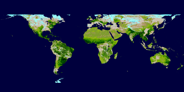
GlobalTOC EVITop of the Canopy (TOC) Enhanced Vegetation Index (EVI) is calculated by
using the aggregated TOC reflectance at 1-km and 4-km resolutions
respectively... 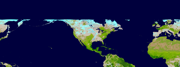
Local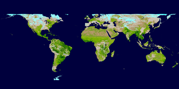
Global
|