
|
OCEAN HEAT CONTENT PRODUCTS ON OSPO |
 |
 |
 |
 |
 |
 |
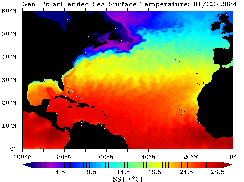
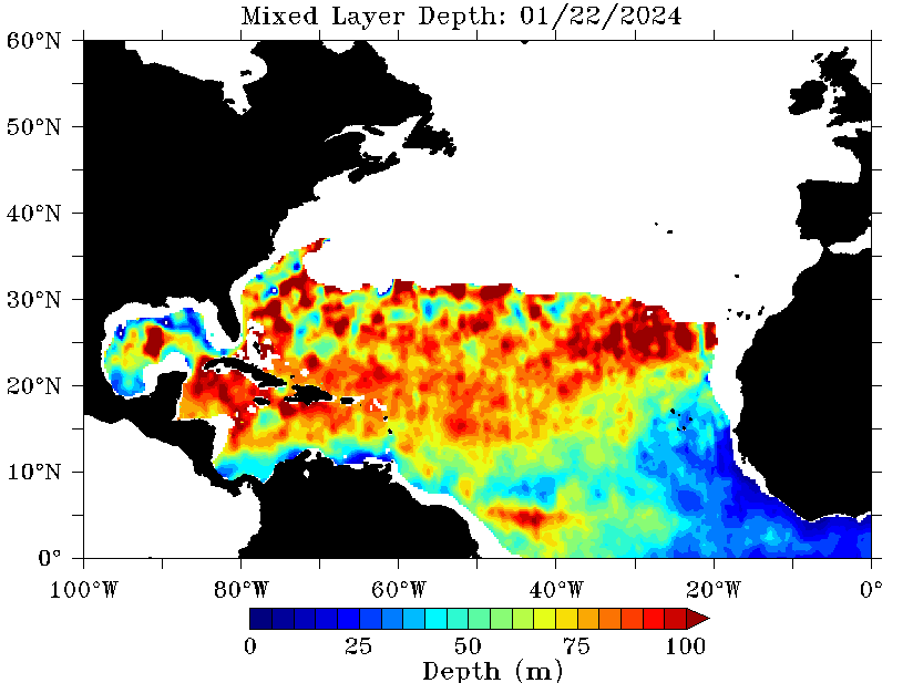
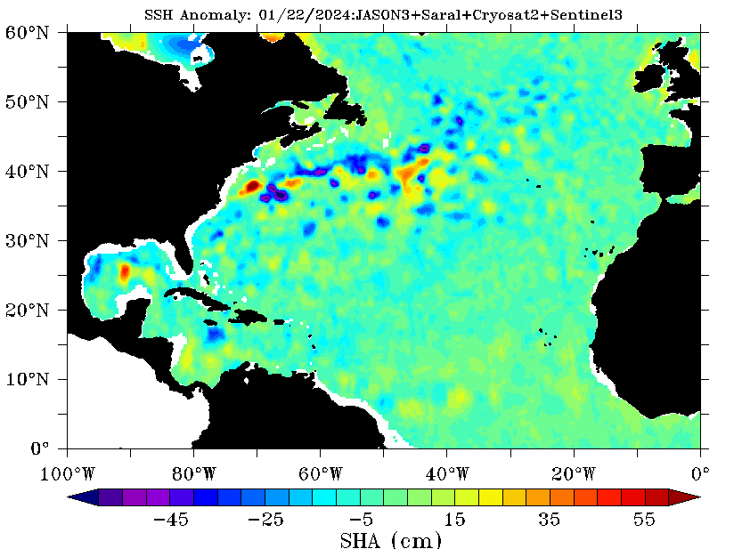
The OHC system produces two OHC files in ASCII and NetCDF where the output is defined on a 0.25 degree grid. For the daily files, the fields are: latitude, longitude, sea surface temperature (SST) in °C, sea surface height anomaly (SSHA) in cm, mapping error, depths of 20°C (D20) and 26°C (D26) isotherms, ocean mixed layer depth (MLD), all in meters, and oceanic heat content (OHC) in kJ/cm2. Maintenance level is 8x7, since it runs once daily during normal working hours. Return to service should be as soon as possible. The requirements were for ASCII and NetCDF output files, as well as GIF images.The files were to contain latitude, longitude, sea surface height anomaly, OA mapping error, sea surface temperature, depth of the 20 °C isotherm, depth of the 26°C isotherm, mixed layer depth, and ocean heat content. OHC is mapped at 0.25 degree resolution with an accuracy within 10 to 15% of in situ data and a latency of 36 hours. The latency of 36 hours is due to the receipt/processing required for the Sea Surface Height Anomaly data. Five GIF images were also too be created each day for OHC, SST, 20 degree isotherm, 26 degree isotherm, and Mixed Layer Depth.
![]()
![]()
|
|