Geostationary

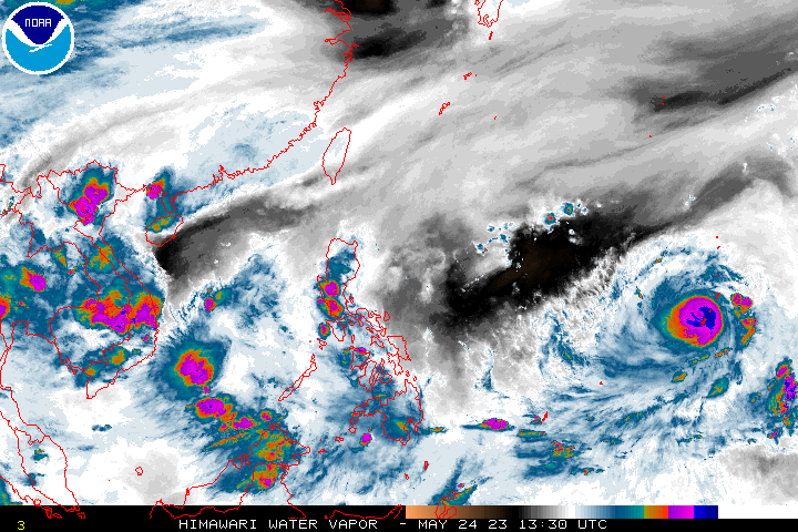
himawari

Himawari

Himawari-9 is the current satellite operated by the Meteorological Satellite Center of the Japan Meteorological Agency. Himawari-8 remains in standby mode.

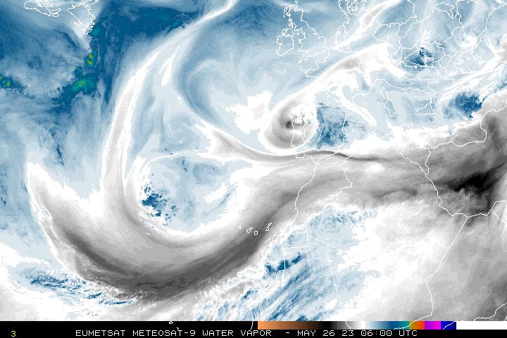
Meteosat Eastern Atlantic

Meteosat Eastern Atlantic

The Meteosat satellite mission is operated by Europe's Meteorological Satellite Organization (EUMETSAT). While Meteosat satellites are operated as a two-satellite system, NOAA provides hourly full disc imagery over the eastern Atlantic Ocean.

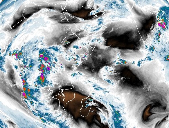
Meteosat Indian Ocean

Meteosat Indian Ocean

The Meteosat satellite mission is operated by Europe's Meteorological Satellite Organization (EUMETSAT). While Meteosat satellites are operated as a two-satellite system, NOAA provides hourly full disc imagery over the Indian Ocean.

Hazard Mapping System

GOES-R Series

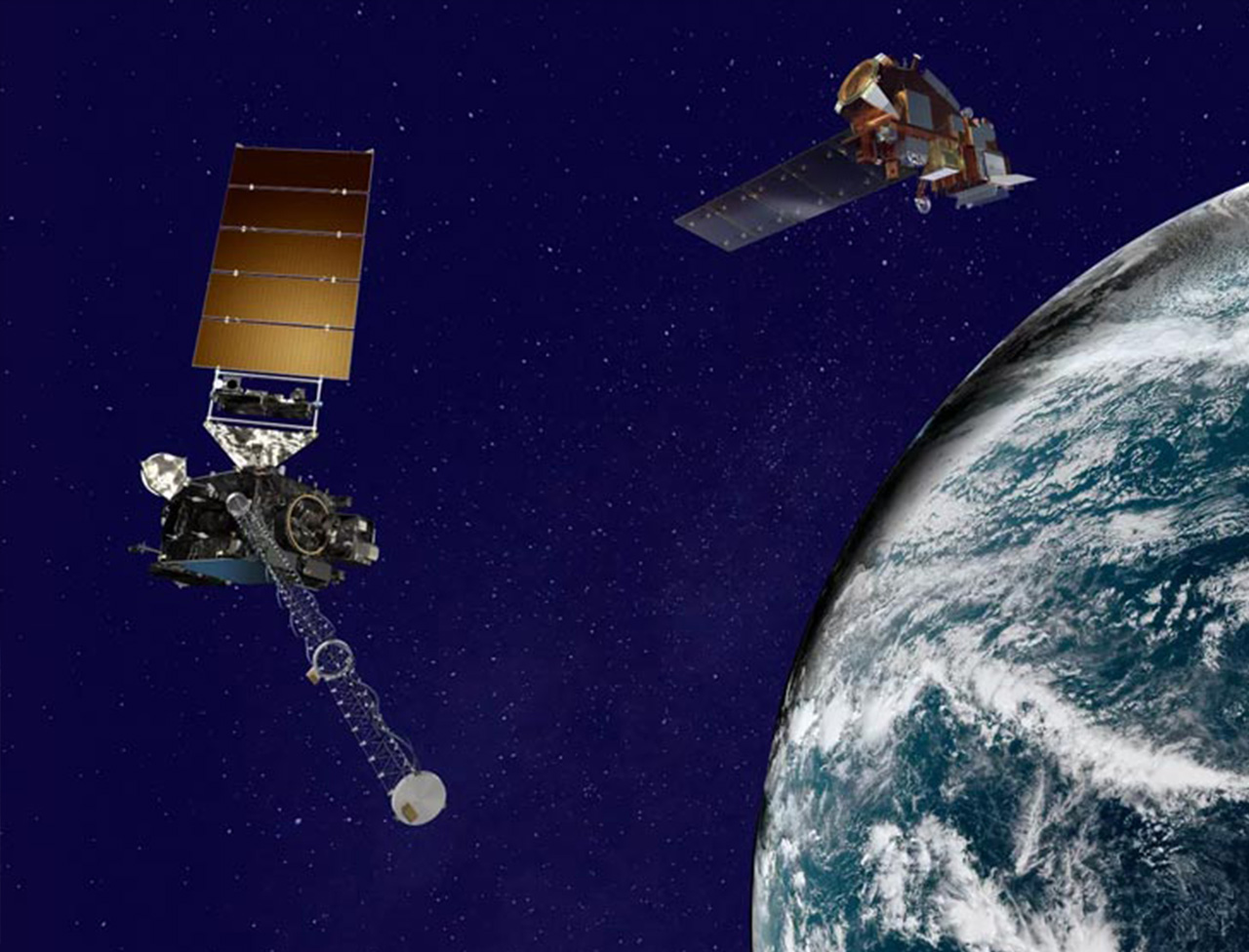
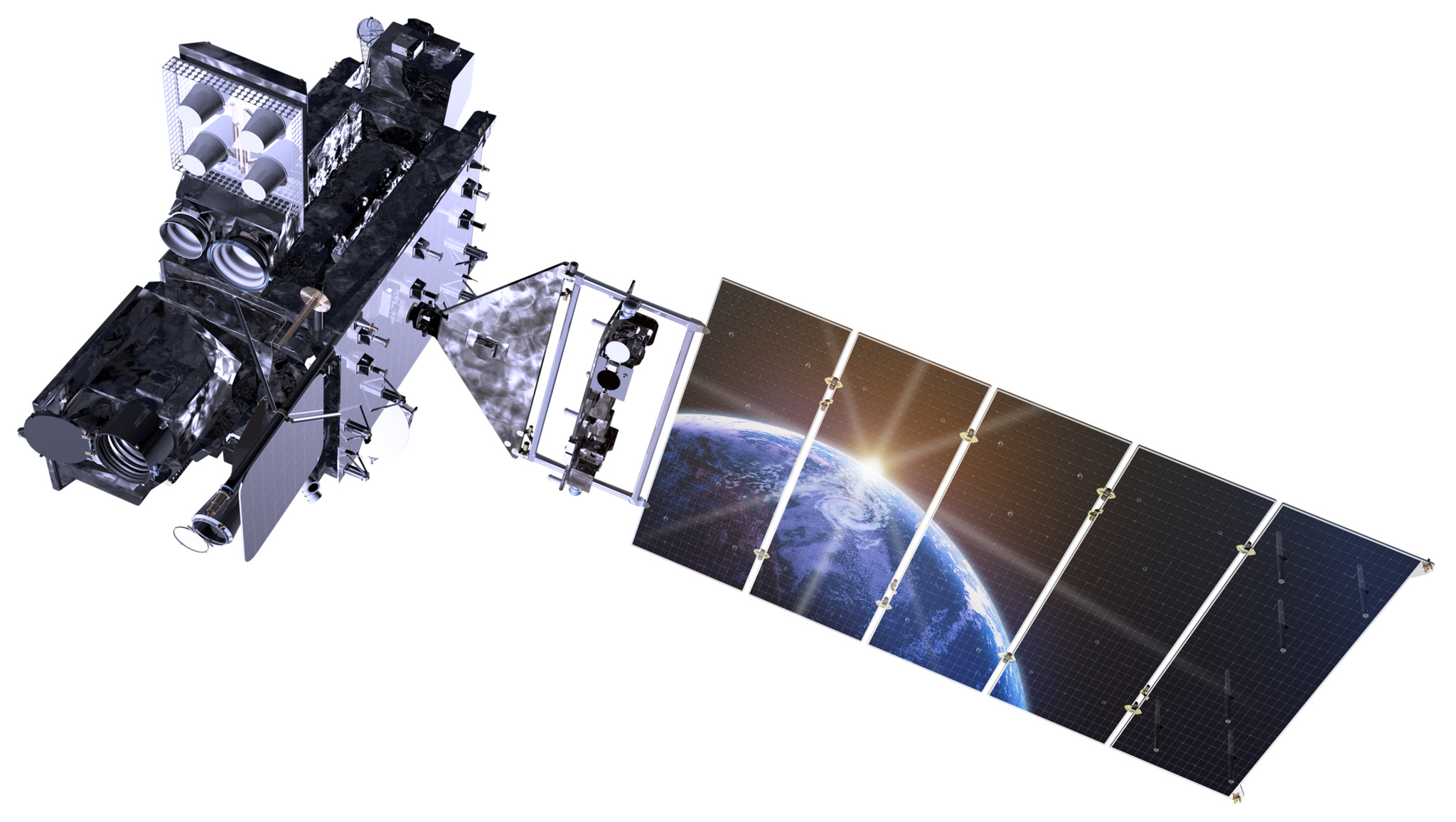
The GOES-R Series is a four-satellite program (GOES-R/S/T/U) that will extend the availability of the operational GOES satellite system through 2036. GOES-R was launched in November 2016 and is now GOES-16. GOES-S was launched in March 2017 and is now GOES-17. GOES-T was launched in March 2022 and is now GOES-18.

View a current adjustable slider of both archived and current imagery for GOES 16/17/18: RAMMB/CIRA Slider
GOES Image Viewer

Hazard Mapping System

GOES-15 and earlier

The Space Science and Engineering Center (SSEC) currently archives research-quality data from nine different geostationary satellites. SSEC also archives point, grid and text data from the NOAAport broadcast

Where to view archive imagery: SSEC Data Center Archive
The SSEC box of the current Archive section: GOES Online Geostationary Archive