Imagery at a Glance

Hazard Mapping System

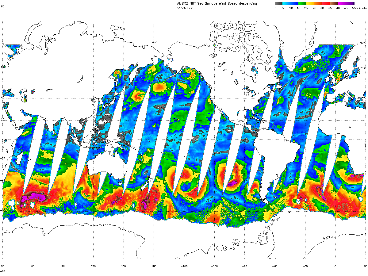
GCOM-W

The GCOM-W project is a 13-year mission with a series of three satellites that aims to measure global-scale water-cycle changes over a long period of time.

Hazard Mapping System

Arctic Composite Imagery (ACI)

The Arctic Composite Imagery covering the Arctic Ocean from 50N to 90N is comprised of satellite data from GOES-16, GOES-18, Meteosat-9, Meteosat-10, Himawari-9, Metop-B, Metop-C, S-NPP and NOAA-20.

Global Mosaic of Geostationary Satellite Imagery (GMGSI)

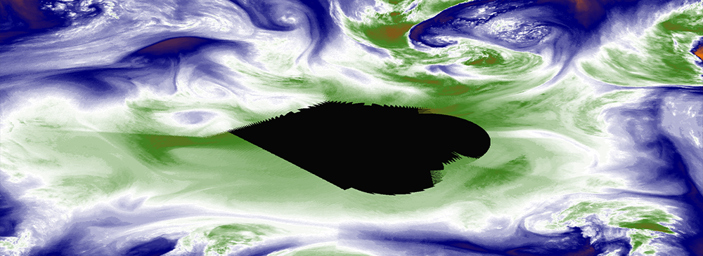
Global Mosaic of Geostationary Satellite Imagery (GMGSI)

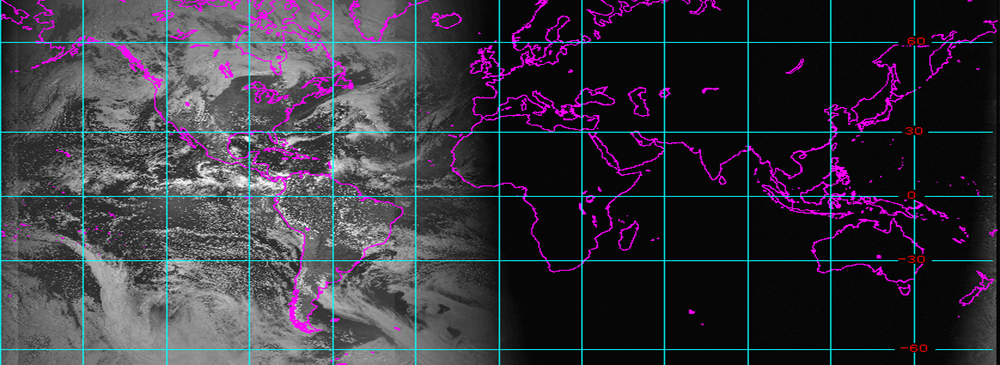
The Global Mosaic of Geostationary Satellite Imagery (GMGSI) product set provides global coverage from 60N to 60S using data from GOES-16, GOES-18, Meteosat-9, Meteosat-10, Himawari-9.

NOAA GMGSI
GMGSI