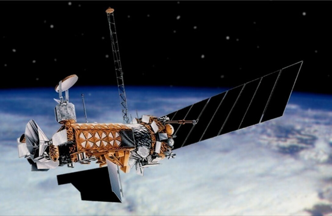
Defense Meteorological Satellite ProgramSince the mid-1960s, when the U.S. Department of Defense initiated the Defense Meteorological Satellite Program, low, Earth-orbiting satellites have provided the military with important environmental information. Each Defense Meteorological Satellite Program satellite took about 101 minutes to orbit Earth. That provided global coverage twice per day. The Defense Meteorological Satellite Program satellites "see" such environmental features as clouds, bodies of water, snow, fire, and pollution in the visual and infrared spectra. Scanning radiometers record information that can help determine cloud type and height, land, and surface water temperatures, water currents, ocean surface features, ice, and snow. The satellites transmit this data to ground-based terminals where the data is processed, interpreted by meteorologists, and ultimately used in planning and conducting U.S. military operations worldwide. The Defense Meteorological Satellite Program is managed by the Space and Missile Systems Center at the Los Angeles Air Force Base in El Segundo, California. NOAA operates the satellites at the NOAA Satellite Operations Facility in Suitland, Maryland. |