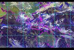
| Arctic Composites | This composite imagery product is generated every one hour at the Visible, Infrared, Shortwave Infrared, Longwave Infrared, and the Water Vapor bands by using the following GOES and POES Imagers: GOES-13, GOES-15, Meteosat-8, MSG-10, Himawari-8, NOAA-18, NOAA-19, MetOp-A, MetOp-B, Aqua and Terra. Coverage: 50°N ˜ 90°N Product Link: 7 Days Band Imagery: Water vapor (~6.7 µm): Image Visible (~0.65 µm): Image Infrared (~11.0 µm): Image Shortwave Infrared (3.7 to 3.9): Image Longwave Infrared (~12.0 µm): Image |
|
|
| ||
| GOES and POES Imagers | Resolution: 4 Km | Frequency: 60 Minutes |
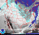
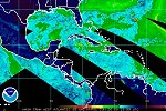
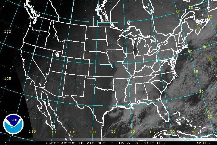
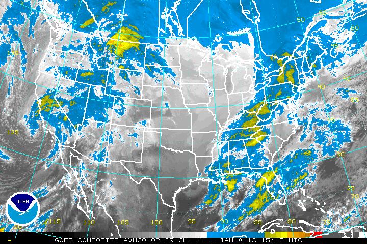
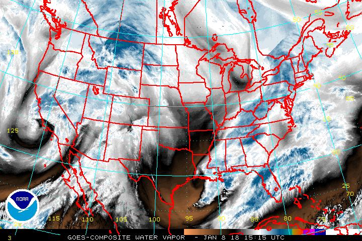
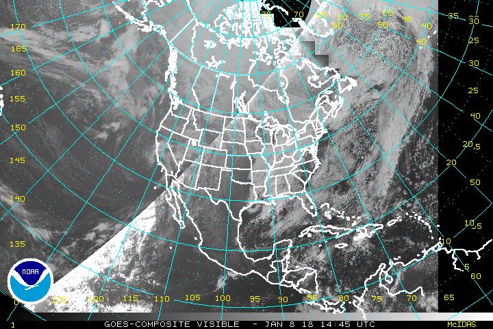
| Continental US Composites | This product is generated every 30 minutes using either the Visible, Infrared, Shortwave Infrared (4um), or the Water Vapor images into one larger composite image using GOES East and West Imagers. Central US Composite: Mercator Projection (10 Kmn) – Page – More enhancements available |
|
|
||
| GOES Imager | Resolution: 10-12 Km | Frequency: 30 minutes |
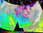
| Continental US Composites | These images were composites of derived meteorological parameters utilizing an Atmospheric Sounder on both GOES East and GOES West. The images are generated every 1 hour using one larger composite image. Since the failure of the GOES East Sounder, only the GOES West Sounder image is shown. GOES East/West Composite Page (Sounder – All except Top Row) |
|
|
||
| GOES Sounder | Resolution: 8 Km | Frequency: 1 hour |
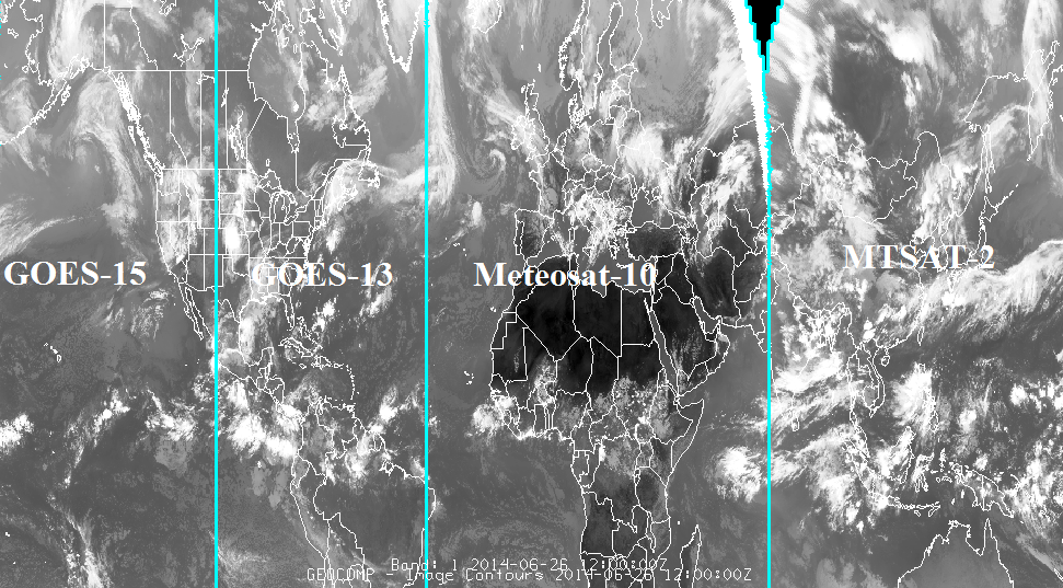
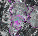
| Global Mosaic of Geostationary Satellite Imagery (GMGSI) | The Global Mosaic of Geostationary Satellite Imagery (GMGSI) product set provides global coverage from 60N to 60S using data from five geostationary satellites, GOES-16 (75W), GOES-17 (137.2W), Meteosat-11 (0 degrees), Meteosat-8 (41.5E), and Himawari-8 (140.7E). Available in four spectral bands - longwave infrared, shortwave infrared, mid-wave infrared (water vapor) and visible data - the composite products are generated at hourly intervals at 8 km spatial resolution. Product Webpage Band Imagery: Global Visible Mosaic (~0.6 µm) - image Global Longwave Infrared Mosaic (~12.0 µm) - image Global Water Vapor (~6.7 µm) - image Global Shortwave Infrared Mosaic (~3.8 µm) - image |
|
|
|
||
| GOES, METEOSAT and Himawari-8 | Resolution: 8 Km | Frequency: 1 hour |
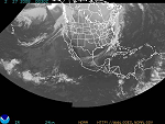
| Northern Hemisphere Composites (Imager) | Product shows a composited Visible, Infrared or Water Vapor image of the Northern Hemisphere. It is created by melding both GOES East and GOES West images and is generated every 30 minutes. New Northern Hemisphere Composite (20 Km) – Page – More enhancements available |
|
|
||
| GOES | Resolution: 20 - 24 km | Frequency: 30 minutes |
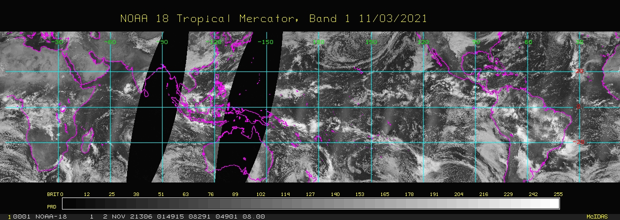
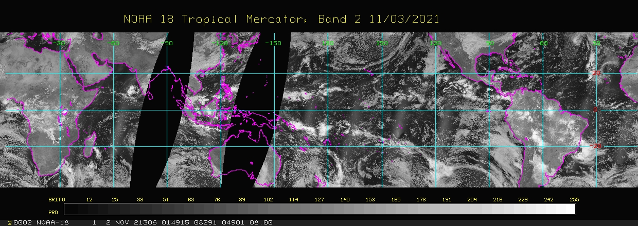
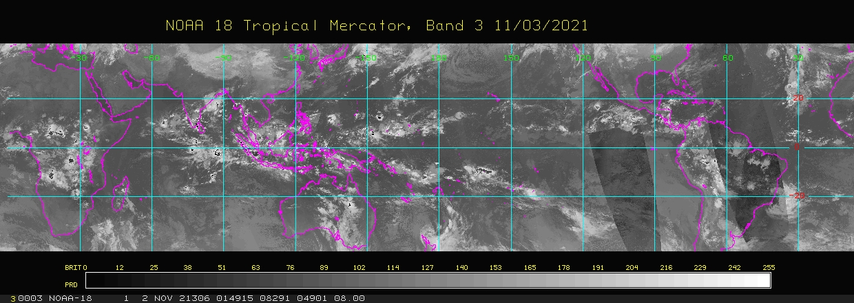
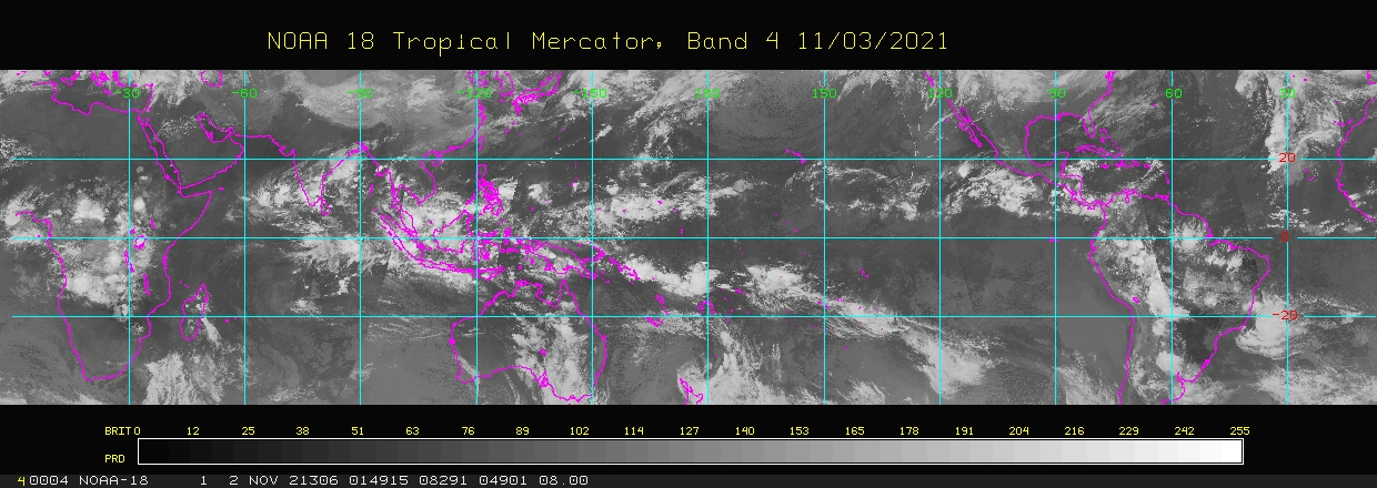
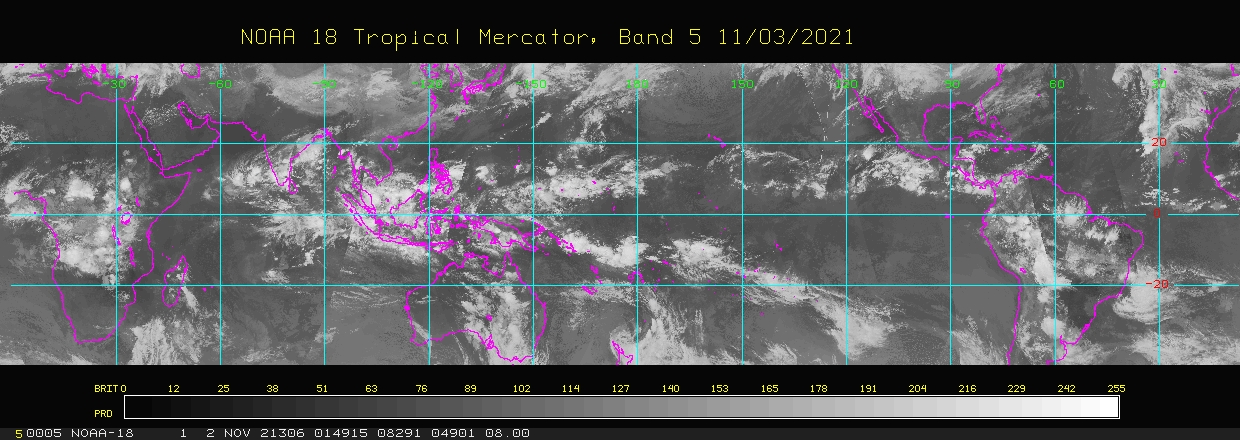
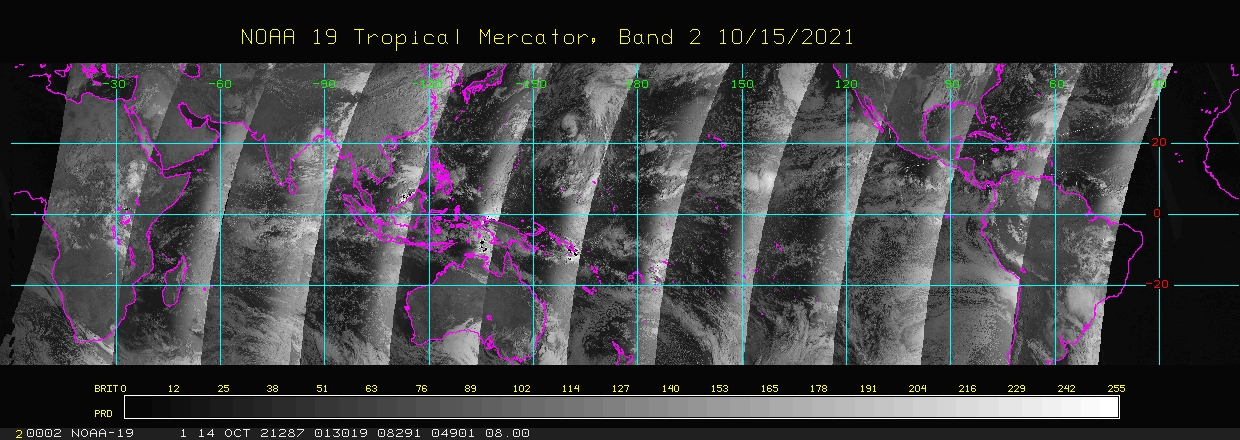
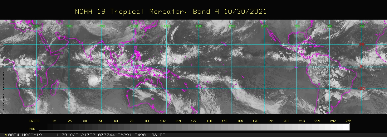
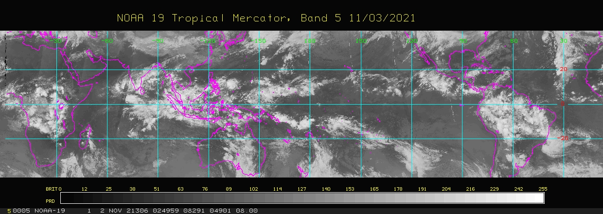
| Equatorial Mercator Composites |
Product shows a composited Visible, Infrared or Water Vapor image of the Equatorial Tropics from about 40North Latitude to 40 South Latitude. These Polar Mapped Mosaic composite satellite images are generated using composite AVHRR GAC data gathered onboard NOAA's polar orbiting satellites (NOAA-18 and NOAA-19). These images are created once per day. Tropical Mercator Composites – Page |
|
|
||
| POES | Resolution: 24 km | Frequency: daily |
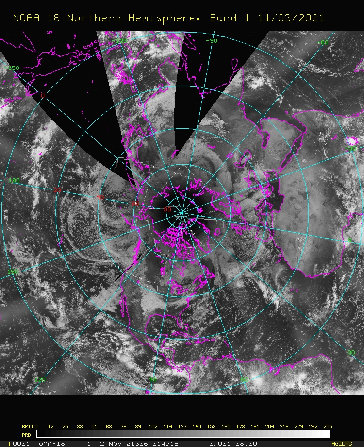
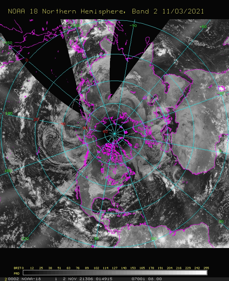
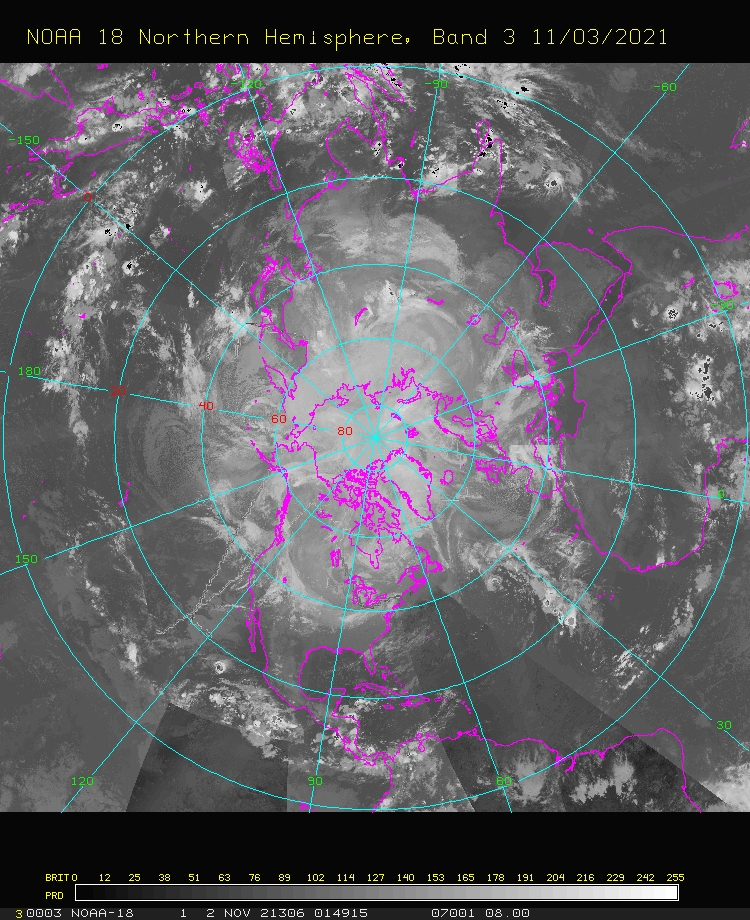
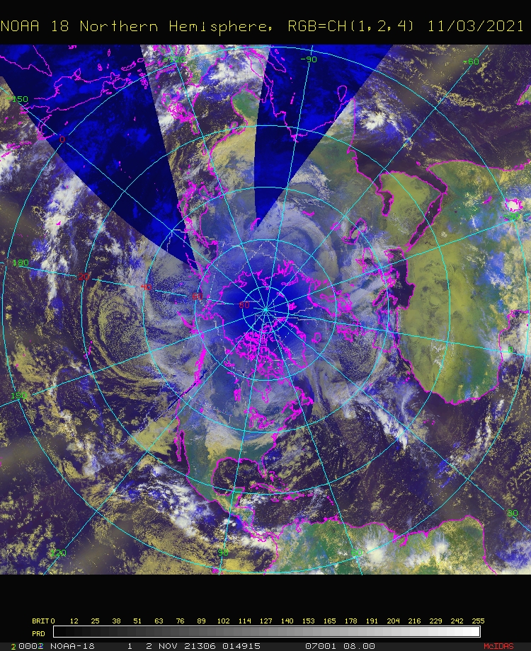
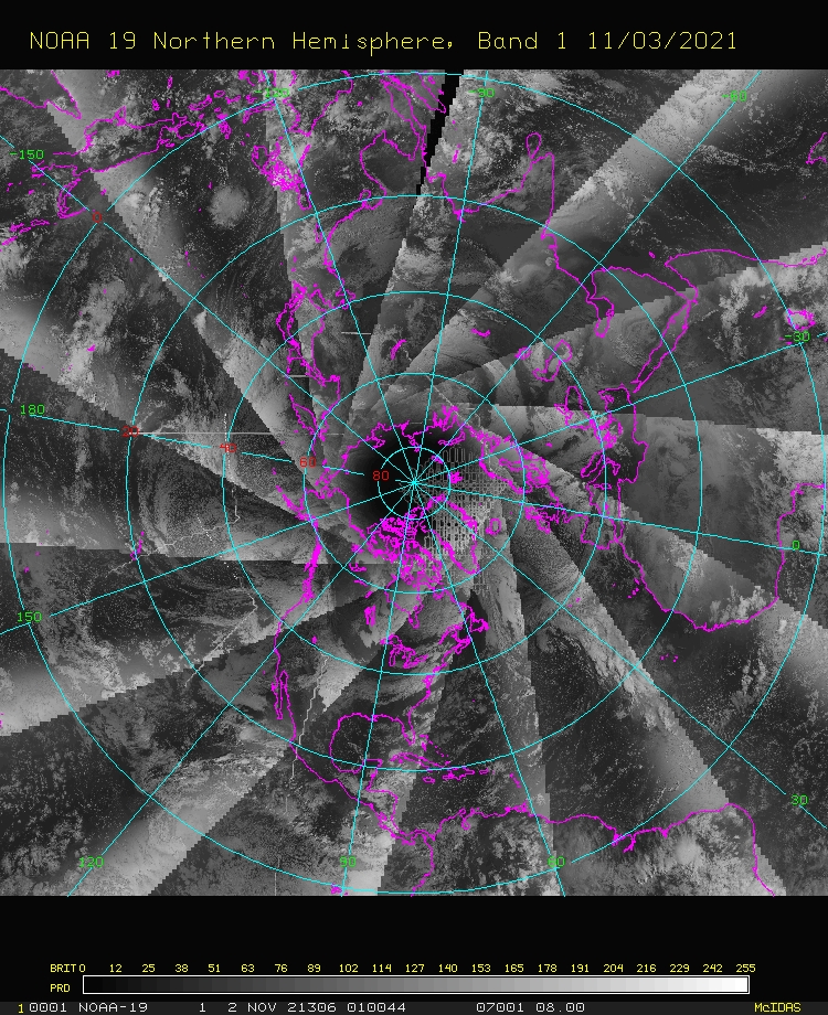
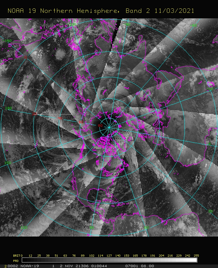
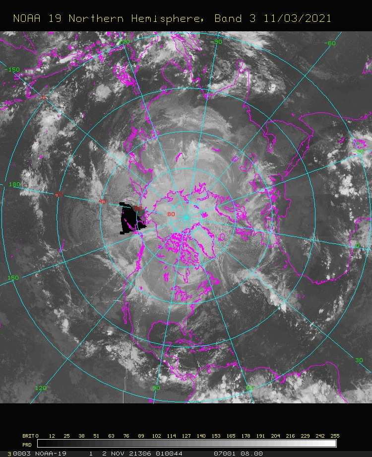
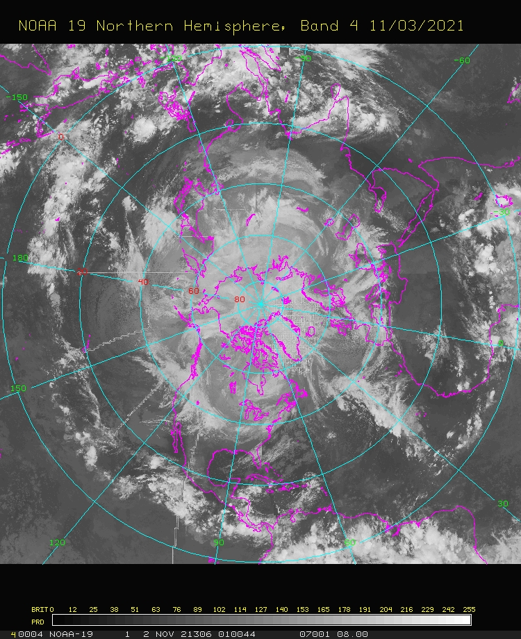
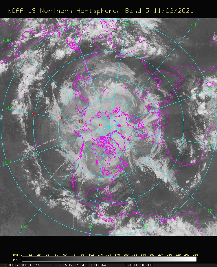
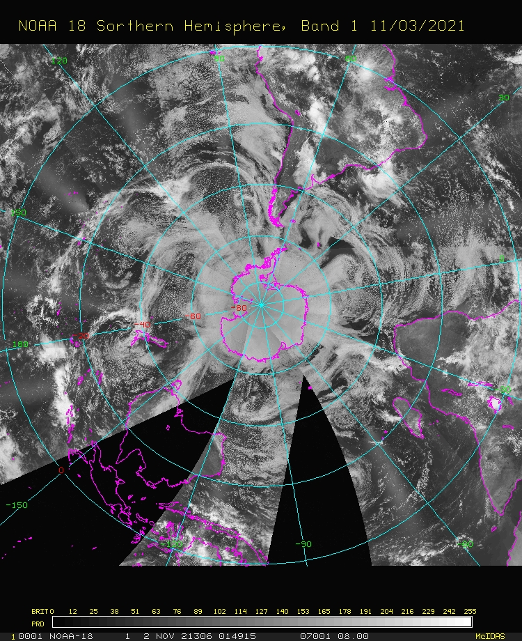
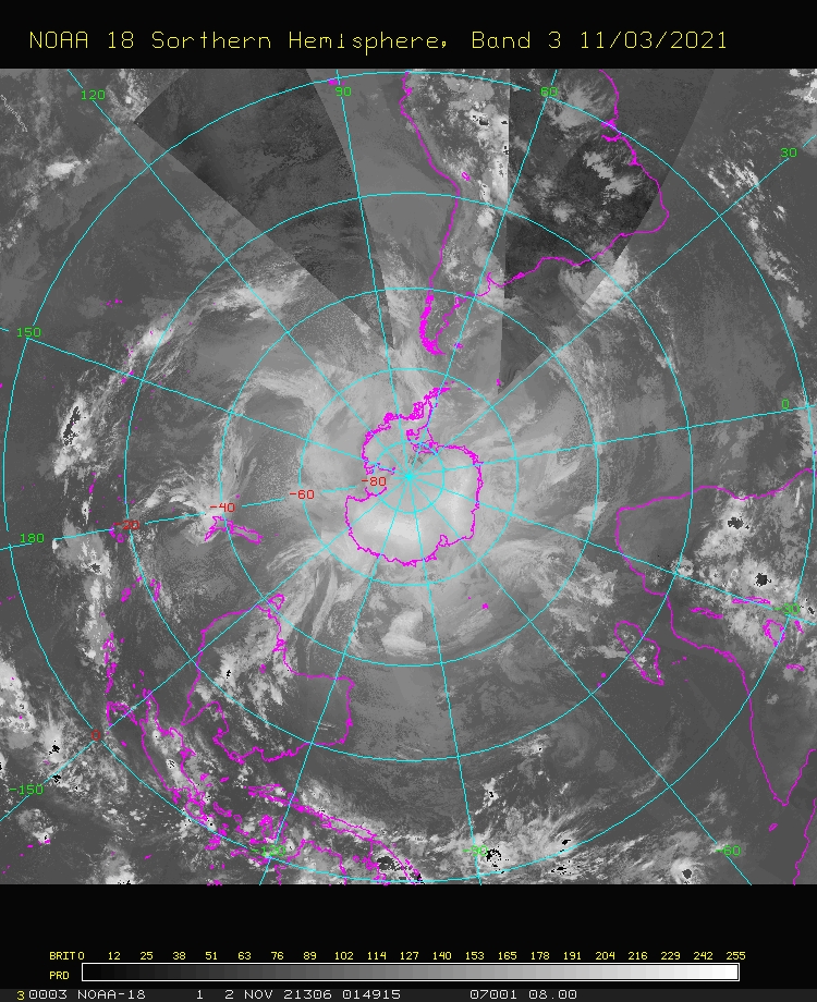
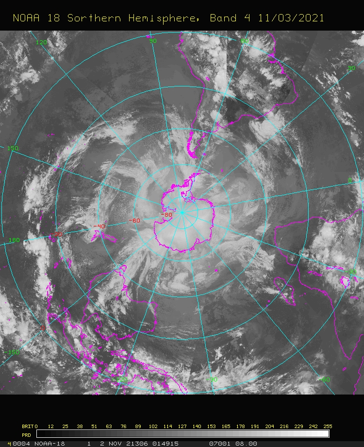
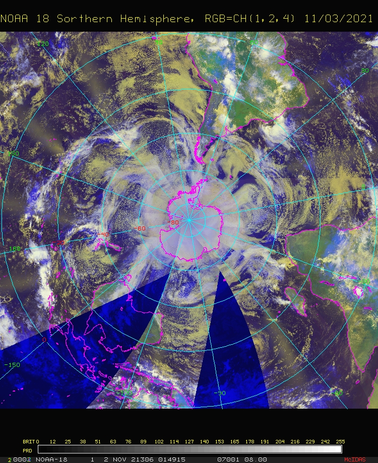
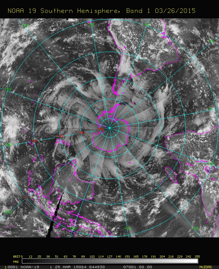
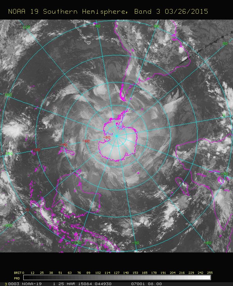
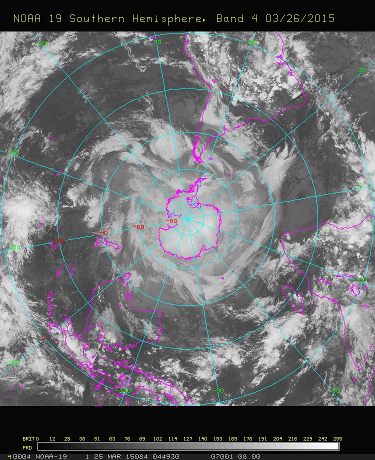
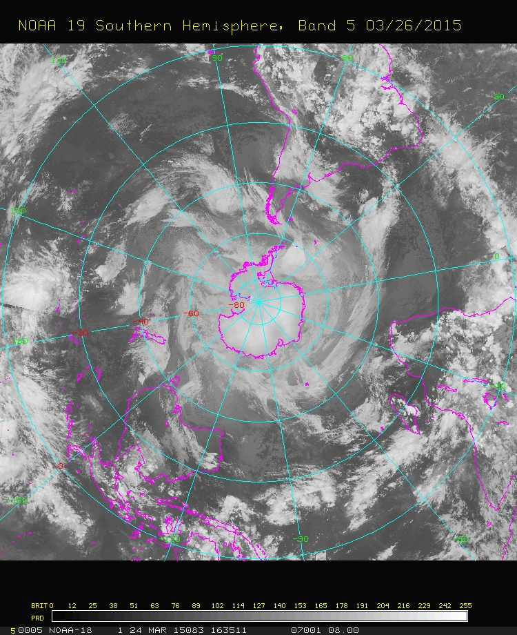
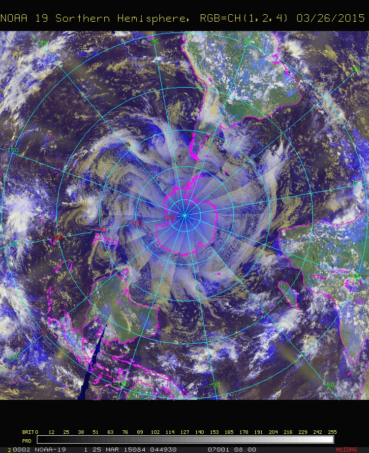
| Hemisphere Composites | Product shows a composited Visible, Infrared or Water Vapor image of the Northern Hemisphere or Southern Hemisphere. These Polar Mapped Mosaic composite satellite images are generated using composite AVHRR GAC data gathered onboard NOAA's polar orbiting satellites (NOAA-18 and NOAA-19). These images are created once per day. Northern Hemisphere Composites – Page Southern Hemisphere Composites – Page |
|
|
||
| POES | Resolution: 15 km at the equator and 36 km at the poles | Frequency: daily |
| Microwave Sectors | These Microwave passes are composited over the same sectors as regular GOES imagery. Overview Atlantic Ocean Sectors: Pacific Ocean Sectors: Polar Stereographic Sectors: |
|
|
||
| AMSU | Resolution: 8 - 12 KM | Frequency: 3 hours |
| DMSP (SSM/IS) | Resolution: 8 - 12 KM | Frequency: 12 hours |