Products
Atmosphere
Land
Ocean
Suites
Imagery
Hazard Imagery
Hazard Mapping System
Tropical Cyclones
Washington VAAC
Marine Pollution
Sea Surface Temperature
Our Satellites
GOES
POES
JPSS
MetOp
Jason
DMSP
Resources
Satellite Alerts
Ingest Logs
Documents & Reports
INR Statistics
Pre product processing
Data Access
Weekly Operations Plan
Navigation Summary
Services
About
Mission
Leadership
Organization Chart
History
Wallops CDA
Fairbanks CDA
Contact Us
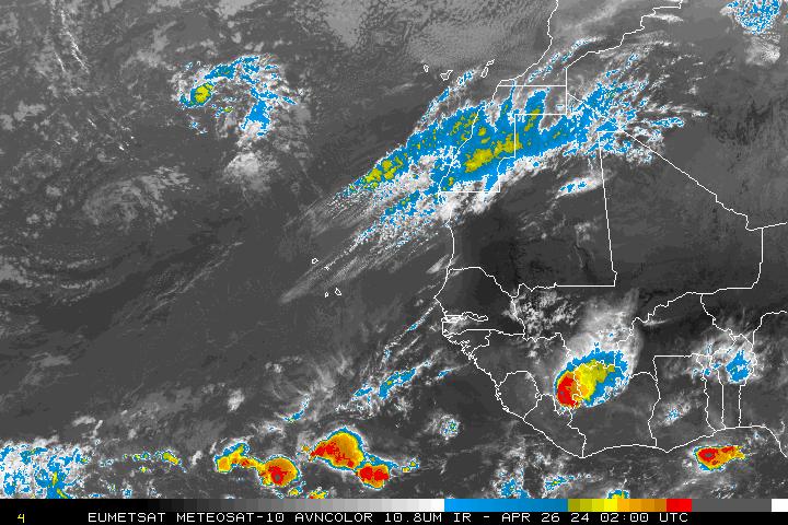
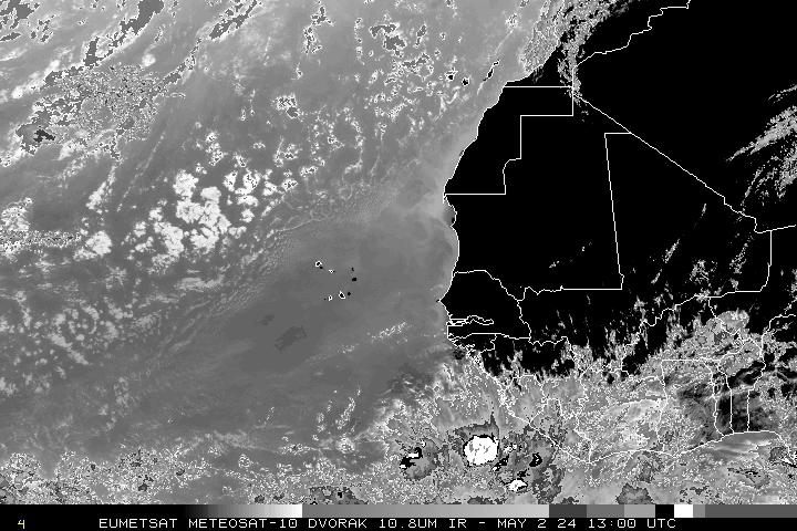
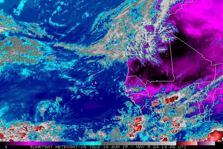
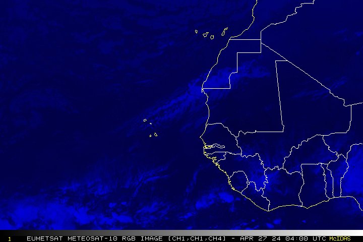
Meteosat Eastern Atlantic
Eastern Atlantic
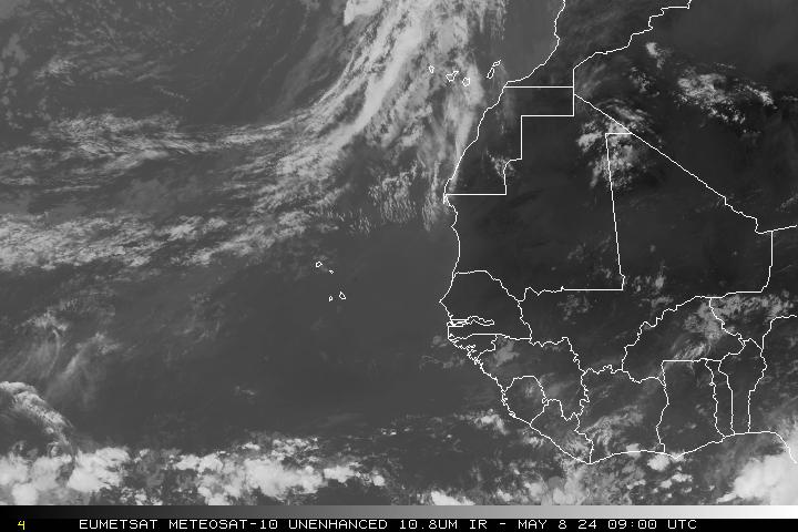
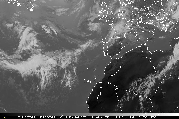
Infrared
Loop
Infrared 2
Loop
Visible
Loop
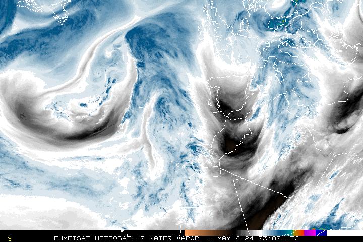
Water Vapor
Loop
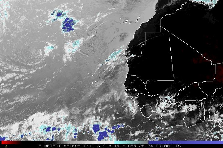
IR channel 4
Loop
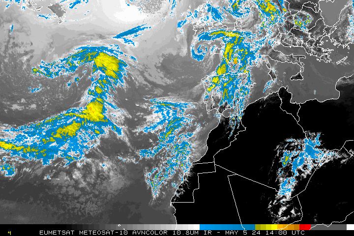
AVN
Loop
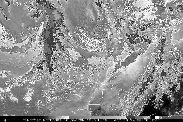
Dvorak
Loop
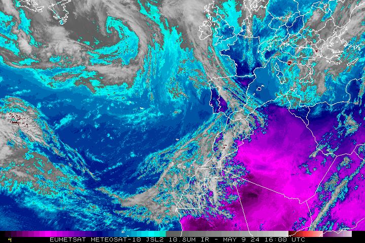
JSL
Loop
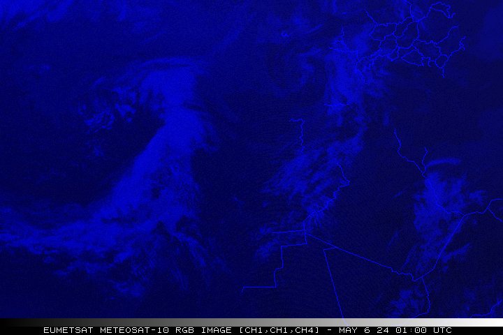
RGB
Loop
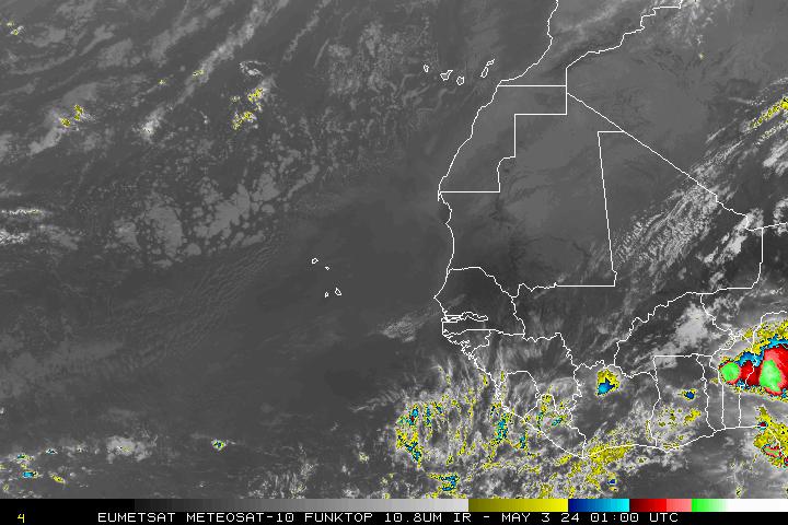
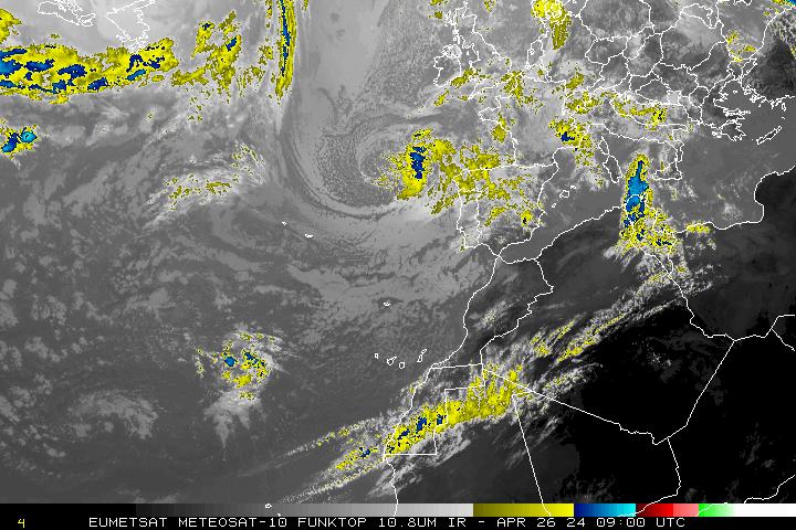
Funktop
Loop
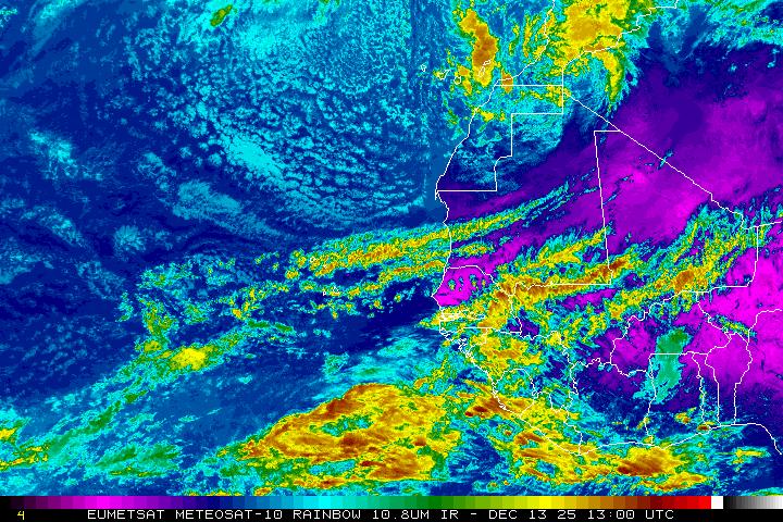
Rainbow
Loop
Northeast Atlantic
Infrared
Loop
Infrared 2
Loop
Visible
Loop
Water Vapor
Loop
IR channel 4
Loop
AVN
Loop
Dvorak
Loop
JSL
Loop
RGB
Loop
Funktop
Loop
Rainbow
Loop