This product, derived from the SSM/IS microwave sensor, provides daily updates on land snow depth, ranging from 0 to 400 mm. It's generated by FNMOC and distributed through a Shared Processing Program involving NOAA, the US Air Force, and US Navy. OSDPD converts it into HDF-EOS and WMO BUFR formats for user access.
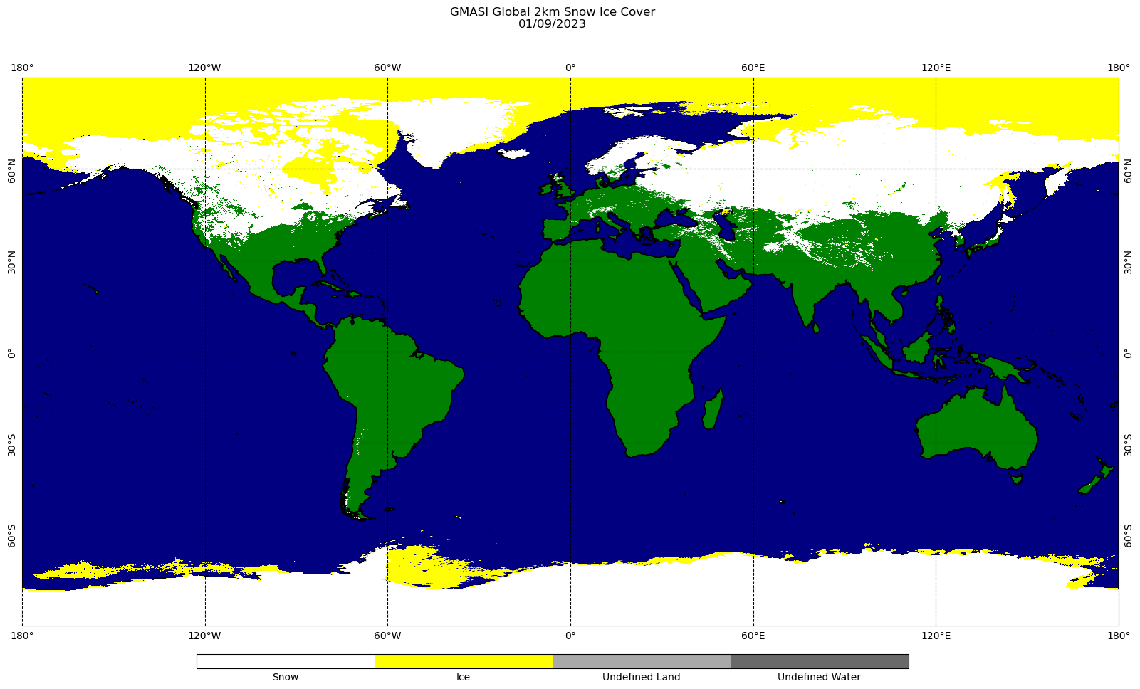
GMASI utilizes data from various satellite sensors in visible, infrared, and microwave bands to create daily global snow and ice maps. The system includes METOP-B/C AVHRR, GPM GMI, and GCOM-W1 AMSR2. These 2-km resolution maps cover the entire globe on a 9000 x 18000 grid and are provided in NetCDF and GRIB2 formats. Daily maps are archived at NCEI/CLASS for public access.
The automated snow mapping system combines data from GOES-Imager, NOAA-AVHRR, and DMSP-SSM/IS to generate daily snow cover maps for North America.