NOAA Office of Satellite and Product Operations
GOES History

GOES History

Geostationary Satellites: A Look Back

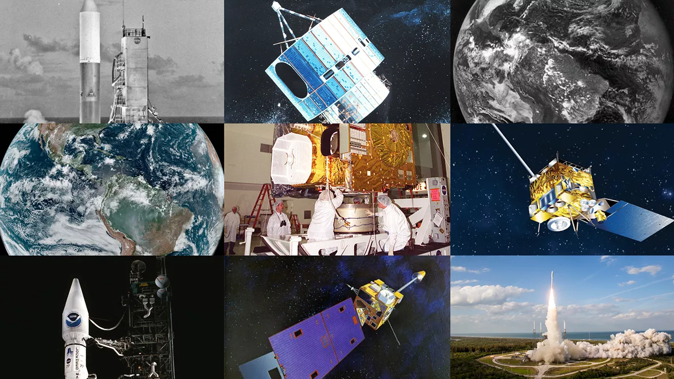
The Applications Technology Satellite series was a set of six NASA spacecraft launched from December 7, 1966, to May 30, 1974, created to explore and flight-test new technologies and techniques for communications, meteorological and navigation satellites. ATS was a multi-purpose engineering satellite series, testing technology in communications and meteorology from geosynchronous orbit.

The major objective of the early ATS satellites was to test whether gravity would anchor the satellite in a synchronous orbit (22,300 statute miles above the Earth), allowing it to move at the same rate the Earth is turning, thus seeming to remain stationary. Although the ATS satellites were intended mainly as test beds, they also collected and transmitted meteorological data and functioned at times as communications satellites. ATS provided the first color images from space as well as regular cloud cover images for meteorological studies.

In what evolved into cooperation between NASA and NOAA, the Synchronous Meteorological Satellite-1 (SMS-1) was launched in 1974. Owned and operated by NASA, SMS was the first operational satellite designed to sense meteorological conditions in geostationary (geosynchronous) orbit over a fixed location on the Earth's surface. SMS-2 followed in 1975 to compliment SMS-1.

The first GOES satellite was launched on Oct. 16, 1975. The early GOES satellites were spin stabilized and viewed the earth only about ten percent of the time. These satellites were in operation from 1975 until 1994. From April 13, 1994, to the present, a the next generation of spacecraft, which are three-axis stabilized, (GOES I-M) has been in operation. GOES-8 was the first three-axis stabilized spacecraft and was launched April 13, 1994.

The remaining spacecraft in this series, GOES 9 - 12, were successfully launched between 1994 and 2001. This generation of satellites view the earth 100 percent of the time, taking continuous images and soundings. GOES satellites provide data for severe storm evaluation, information on cloud cover, winds, ocean currents, fog distribution, storm circulation and snow melt, using visual and infrared imagery. The satellites also receive transmissions from free-floating balloons, buoys and remote automatic data collection stations around the world.

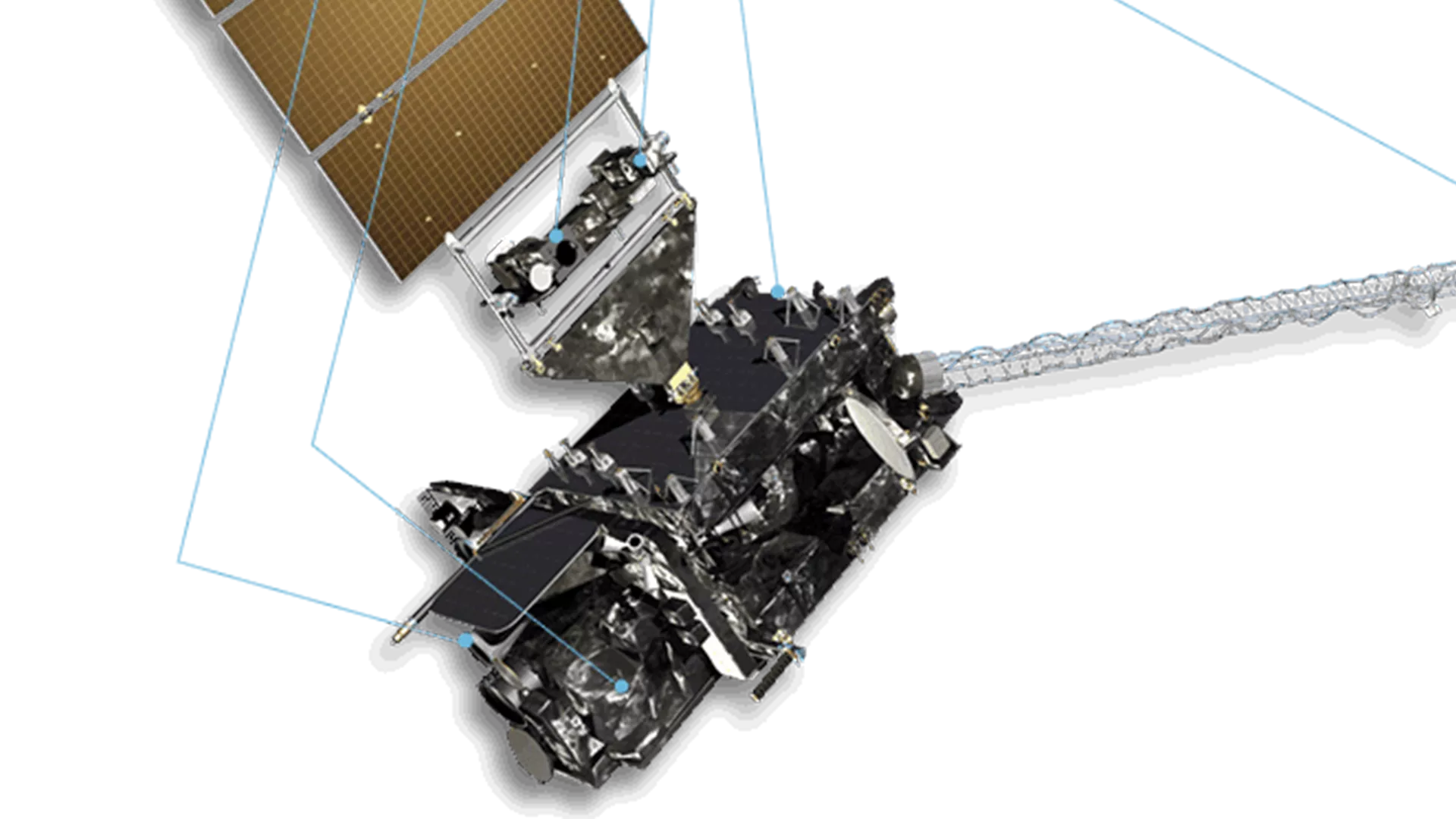
GOES-13, launched May 24, 2006, represents the first of the next generation of GOES satellites. The GOES N-P spacecraft have an advanced attitude control system using star trackers, a spacecraft optical bench, and improved Imager and Sounder mountings to provide enhanced instrument pointing performance for improved image navigation and registration to better locate severe storms and other events important to the NOAA National Weather Service.