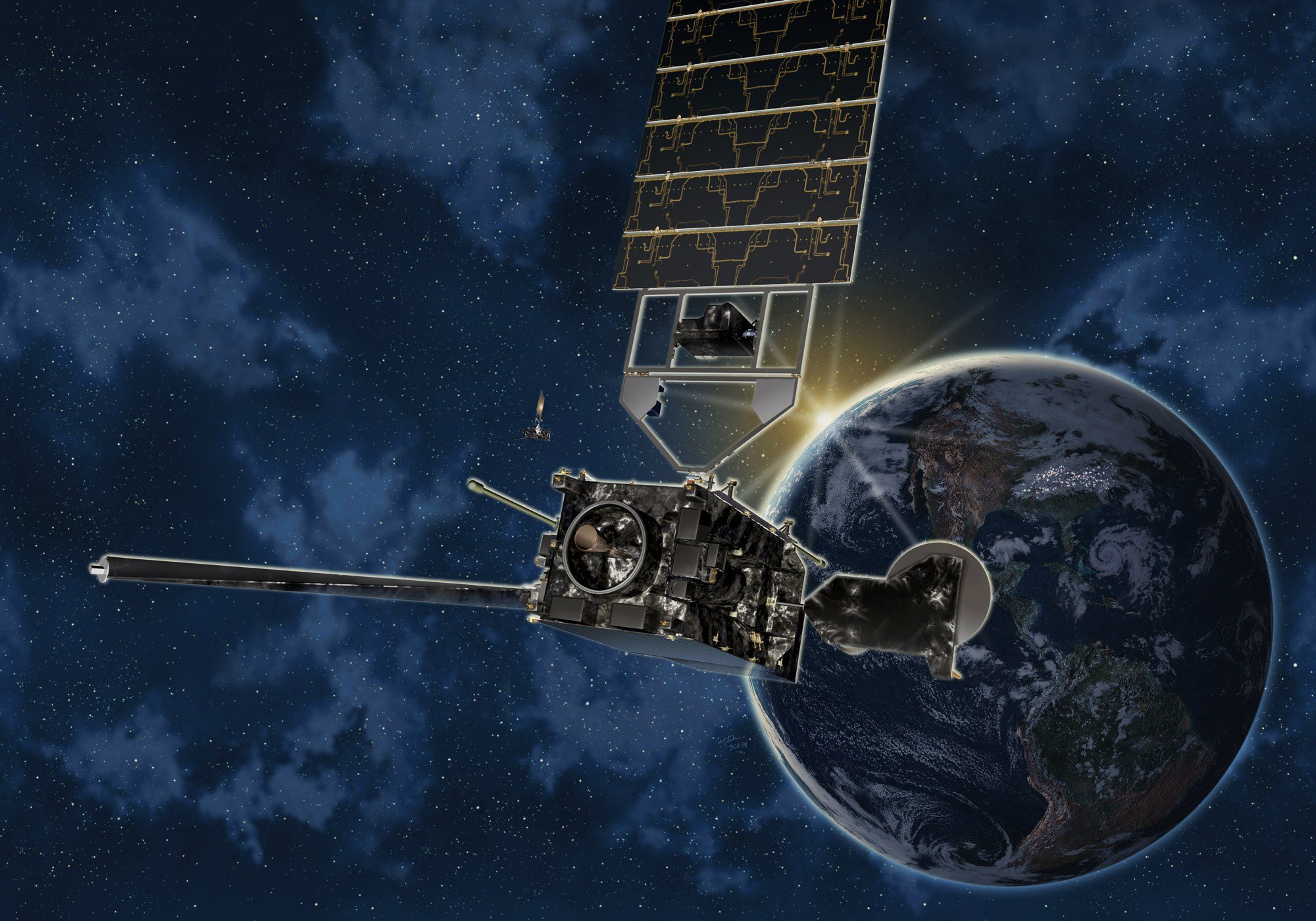

GOES-R Series Transition to OperationsGOES-R launched on Nov. 19, 2016 and along with GOES-S (2018) will extend the availability of the operational GOES satellite system through 2036. When the GOES-R satellite reached geostationary orbit on Nov. 29, 2016, it was renamed GOES-16. On May 25, 2017, NOAA announced GOES-16’s operational location as GOES-East. The GOES-East position was chosen primarily because it offers full coverage of the continental U.S. and provides optimal viewing of the states and cities in the Plains, Midwest and East most impacted by severe weather events including Atlantic Hurricanes, thunderstorms and tornadoes, major winter storms, and flooding. GOES-16 began drifting to the GOES-East operational location of 75.2 degrees west longitude on Nov. 30, 2017. Drift was complete on Dec. 11, 2017, and nominal operations resumed on Dec. 18, 2017 when the satellite was declared GOES-East. The old GOES-East (GOES-13) continued to produce products distributed through GOES-14 (standby) from Dec. 7, 2017 until it turned off on Jan. 8, 2018. GOES-S was launched March 1, 2018. GOES-17 began drifting to its GOES-West operational location of 137.2 degrees west longitude on Oct. 24, 2018. Drift was completed on Nov. 13, 2018 and nominal operations resumed on Nov. 15, 2018. The satellite became GOES-West on Feb. 12, 2019. Changing the location from 137.0 to 137.2 degrees improved efficiency and minimized impacts from other geostationary satellites. GOES-T was launched on March 1, 2022. GOES-18 held a two-part post-launch test with the first part at 89.5 degrees west longitude and the second part at 136.8 degrees west longitude starting on June 7, 2022. In preparation for its eventual transition to operations, GOES-18's orbit was slowly nudged to 137.0 degrees west longitude from July 5-21, 2022. At the same time, GOES-17 was nudged from 137.2 to 137.3 degrees. From these locations, GOES-18 Advanced Baseline Imager data was interleaved for early imaging operations that mitigated the GOES-17 Advanced Baseline Imager's degraded imagery due to its loop heat pipe anomaly. The two interleave periods were Aug. 1 - Sept. 8, 2022 and Oct. 13 - Nov. 16, 2022. Key Dates:
|
GOES Links |
||||||||||||||||||