Images of Hurricane Maria
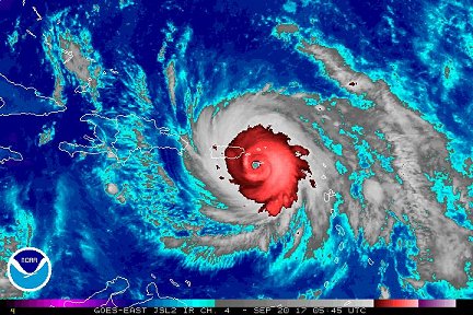
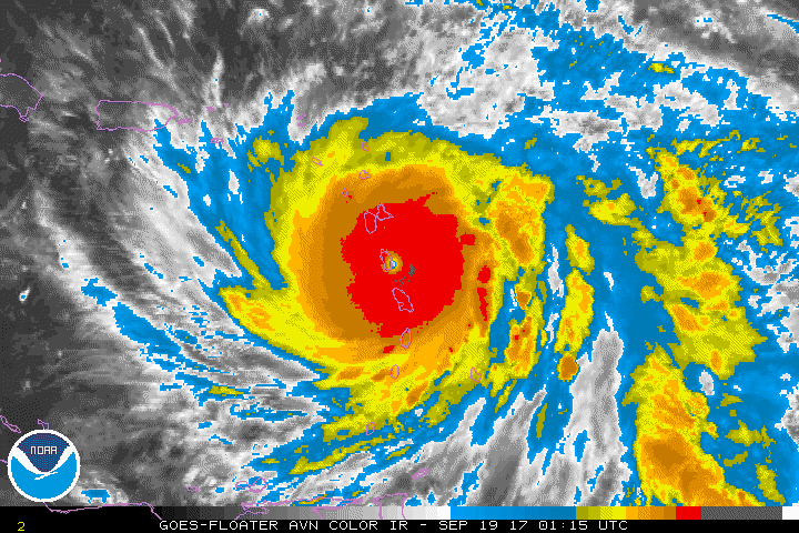
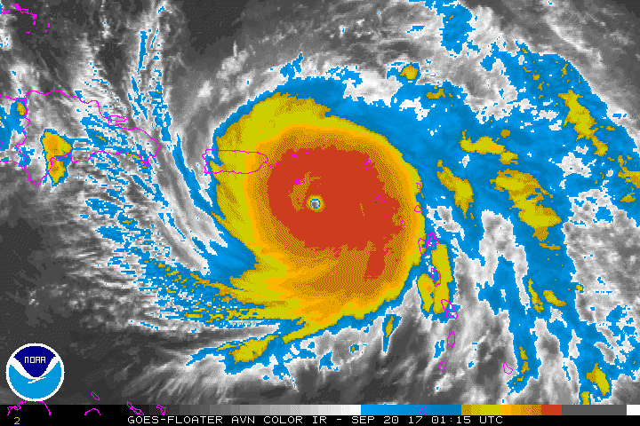
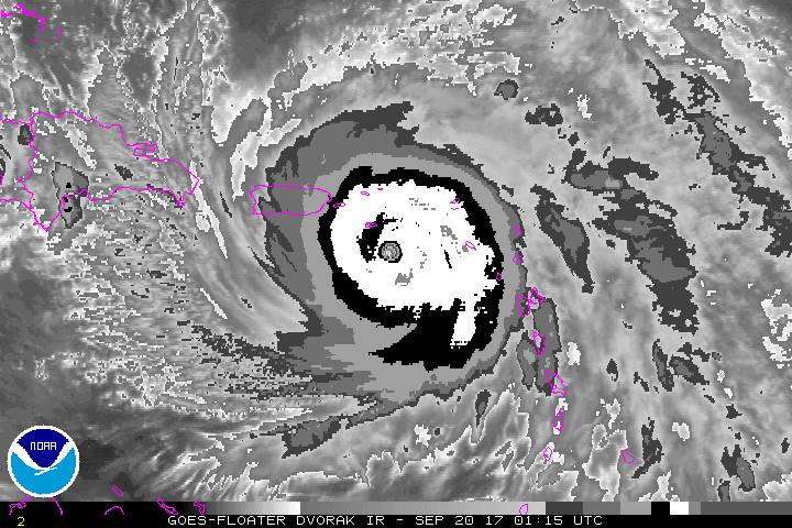
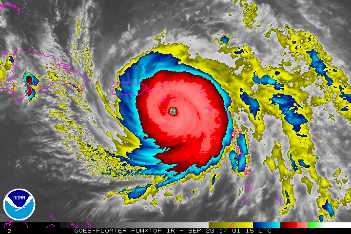
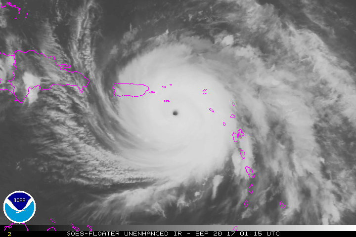
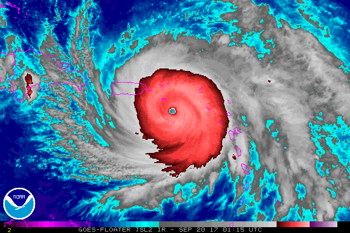
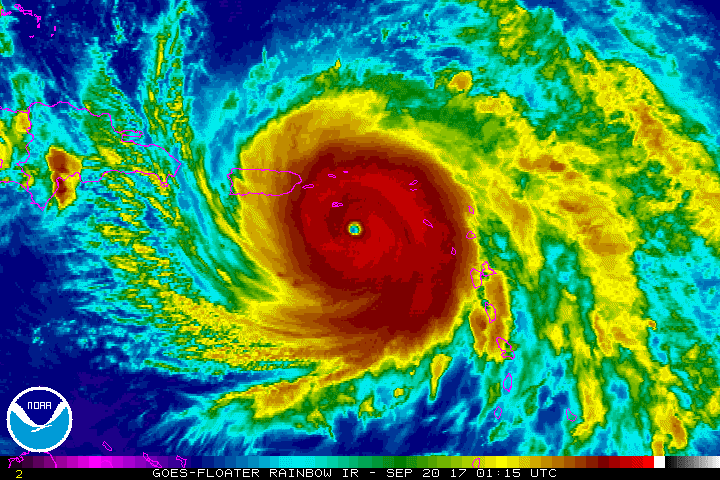
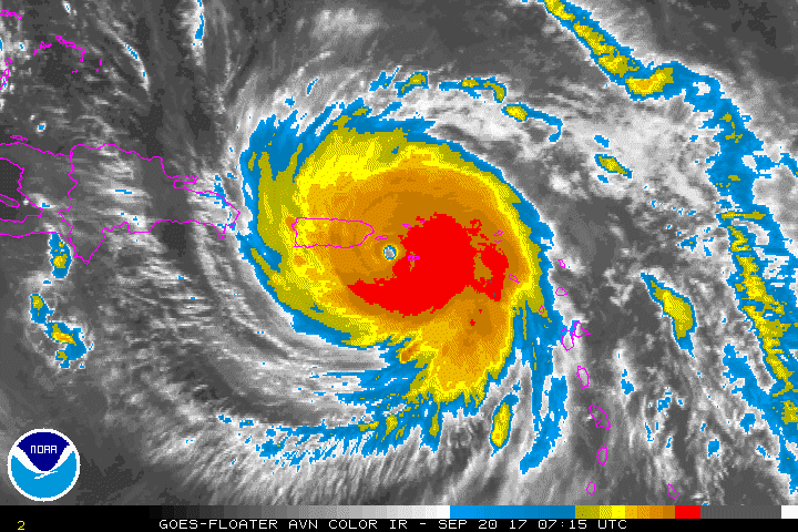
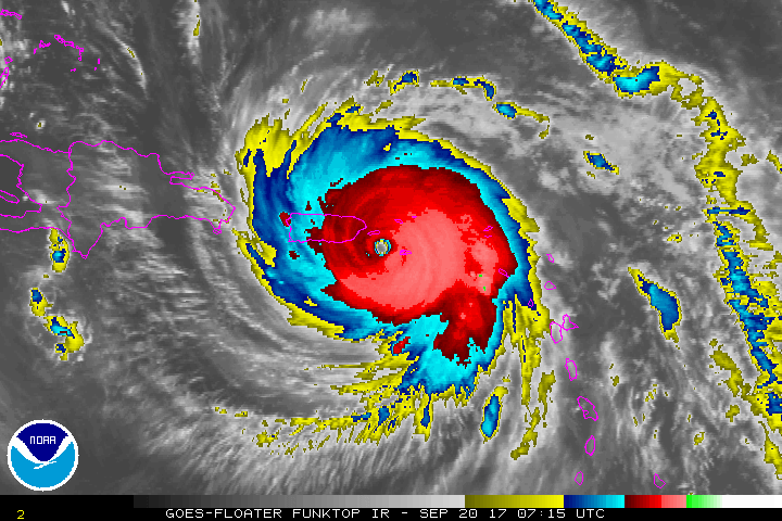
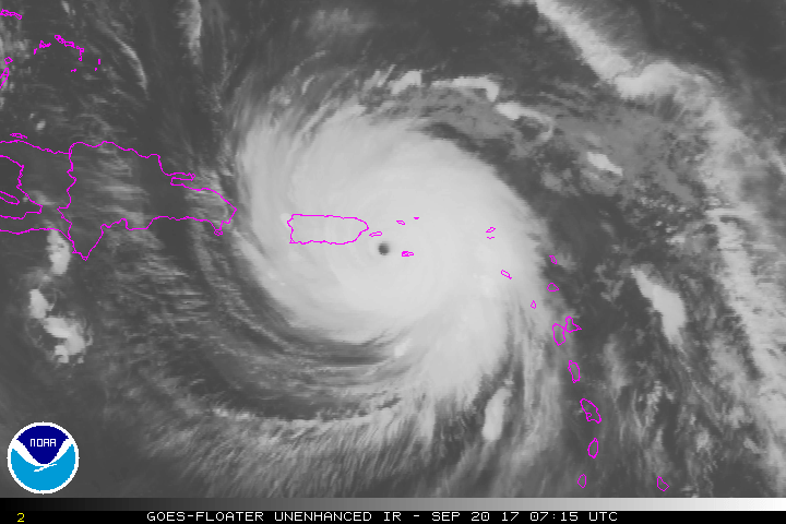
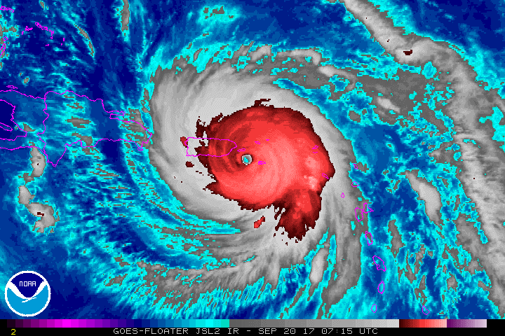
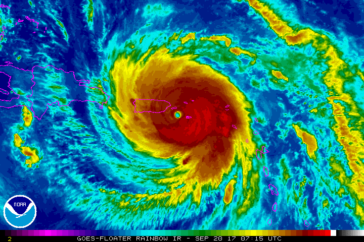
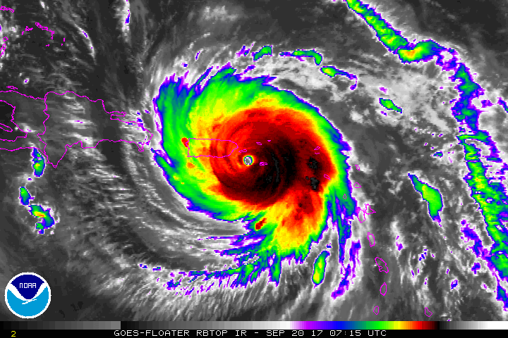
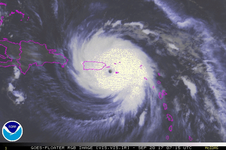
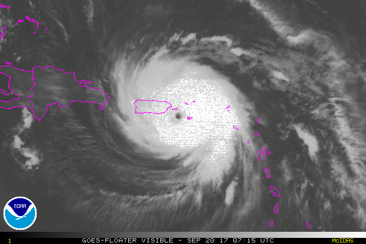
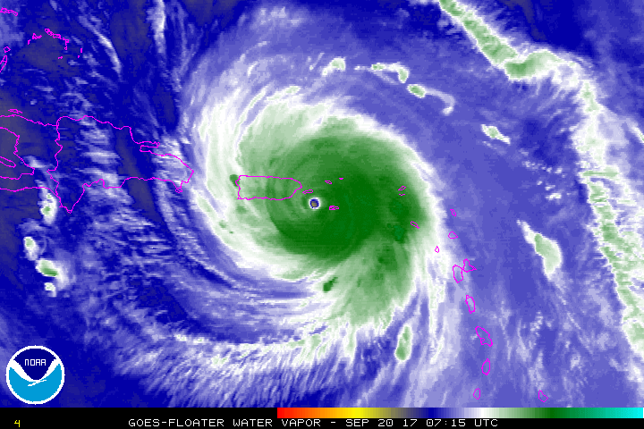
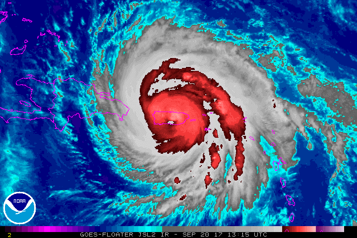
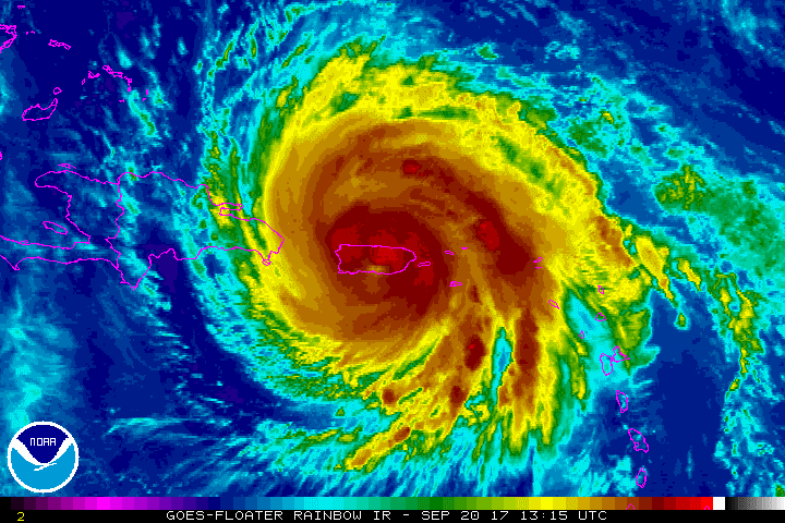
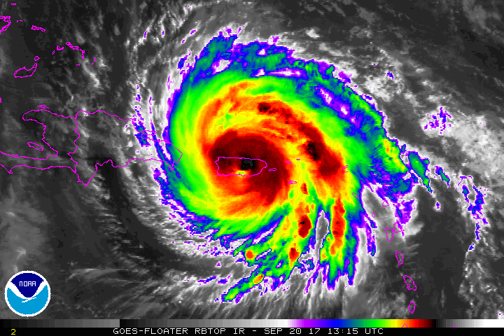
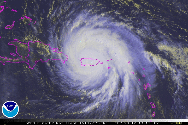
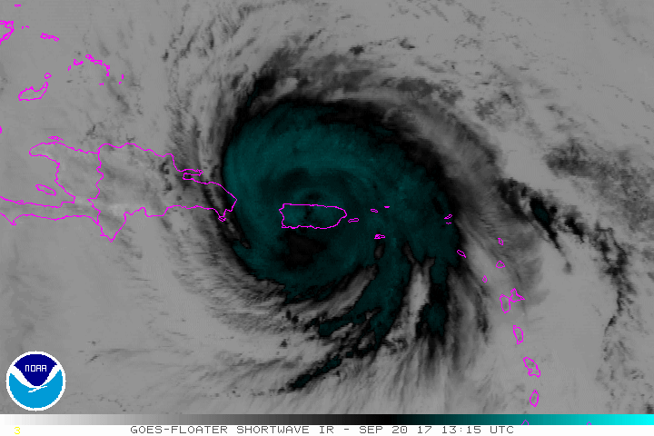
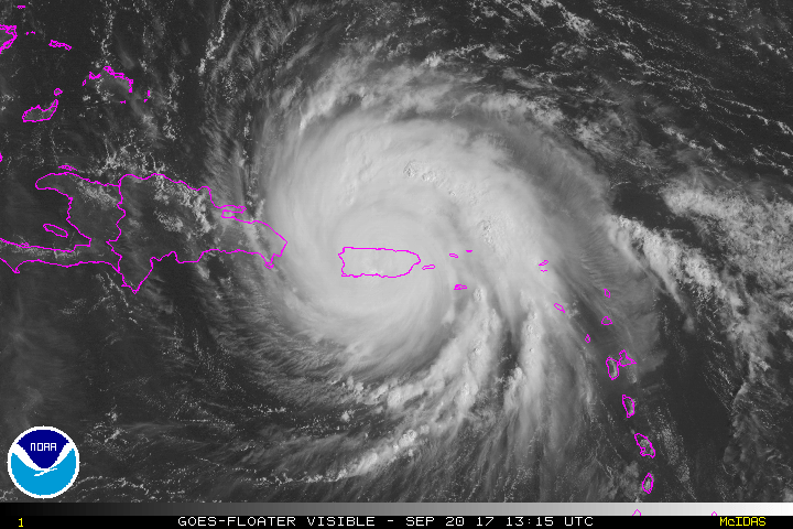
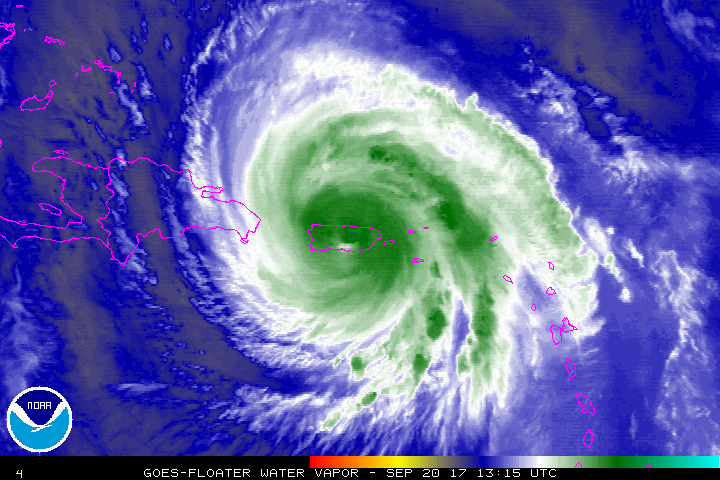
Hurricane Maria At it's strongest September 20, 2017 about 05:45 UTC

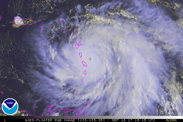
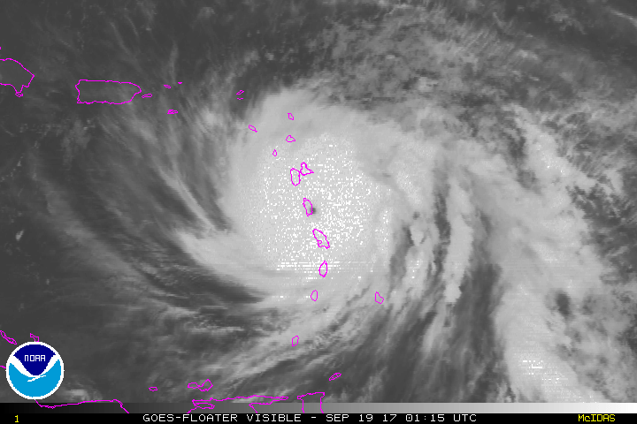
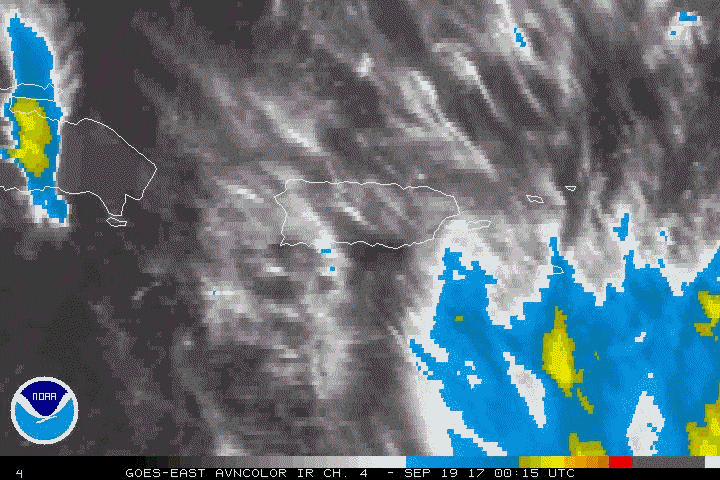
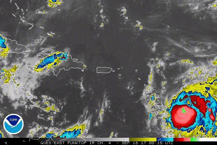
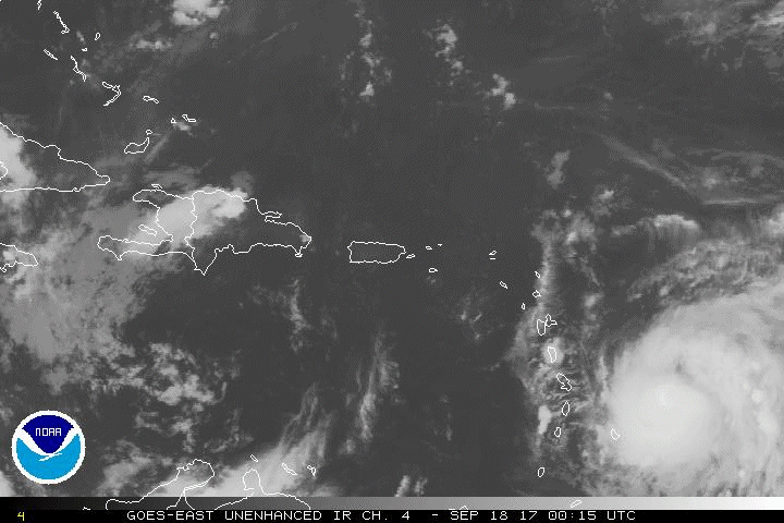
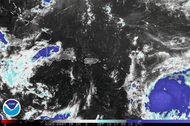
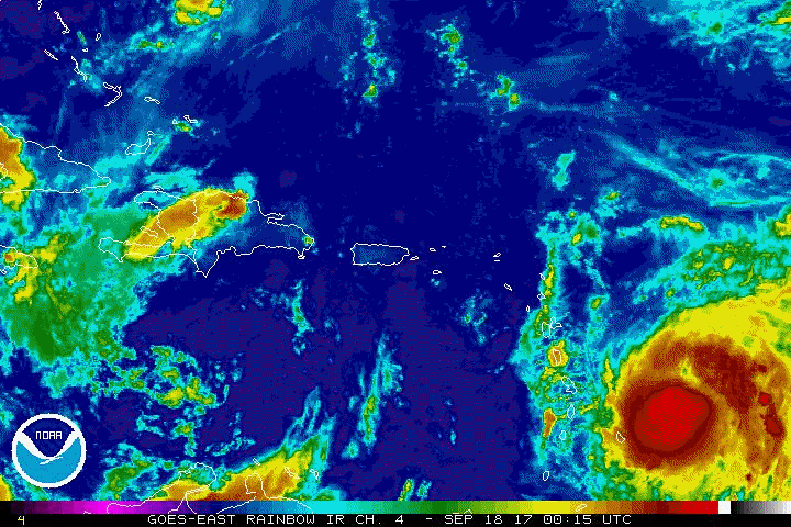
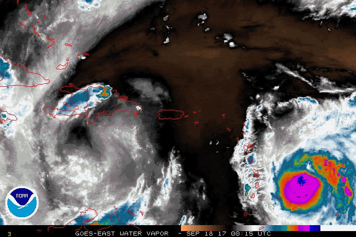
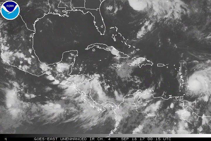
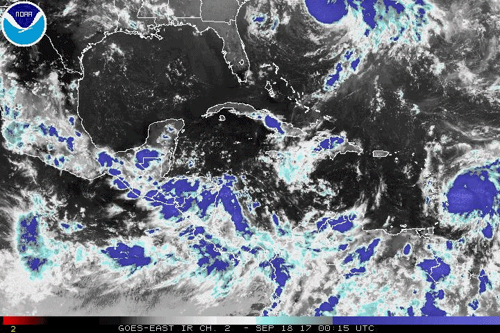
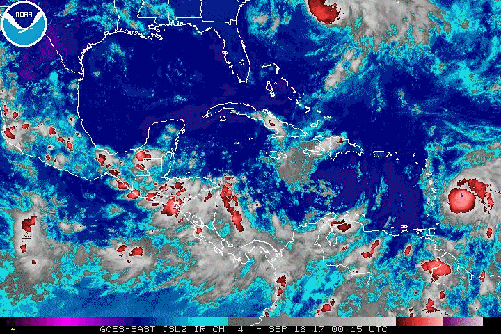
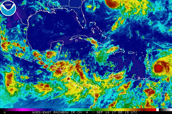
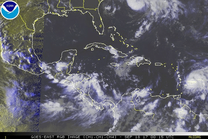
Maria becomes a Hurricane with the 21:00Z Advisory on September 17, 2017
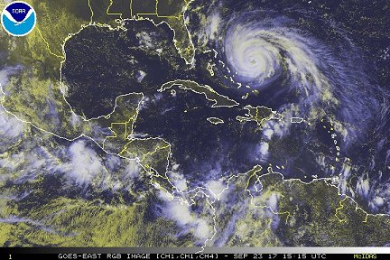
Hurricane Maria northwest of Puerto Rico, north of the Virgin Islands and east of Florida, 15:15Z, September 23, 2017
Image enhancement and abbreviation information
|
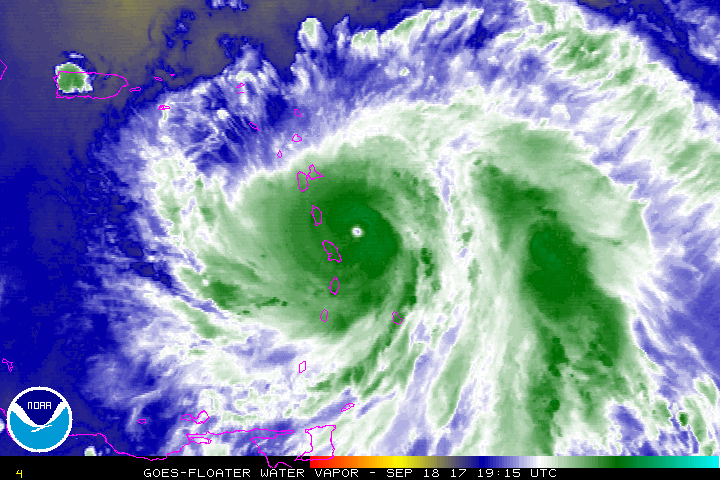
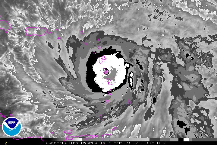
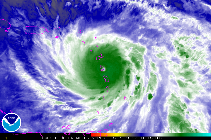
Selected Maria Animated Gifs
The size of these files vary from about 1Mb to about 18 Mb. Please check the notice with each group of images for the appropriate size. Larger image files will take longer to load.
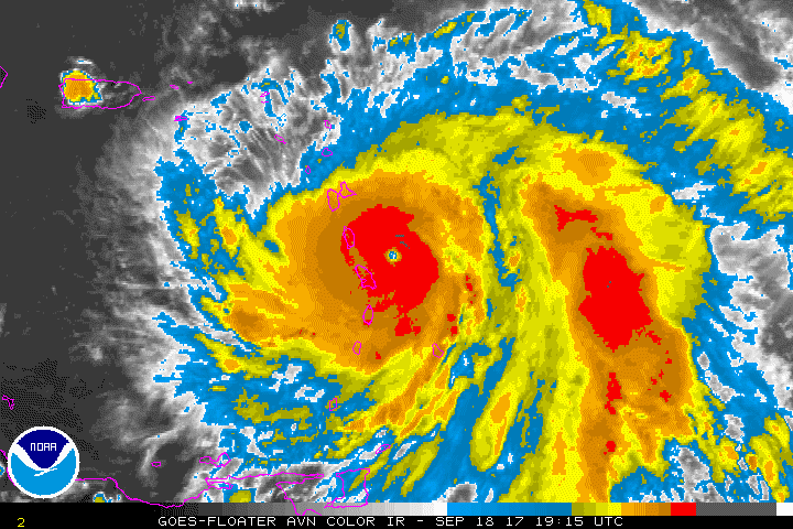
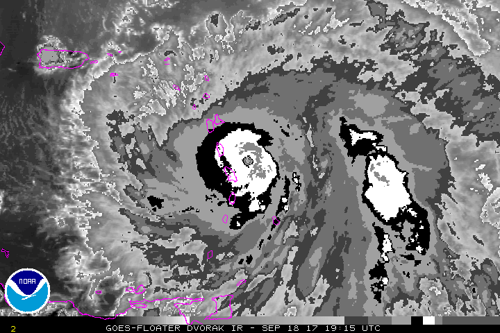
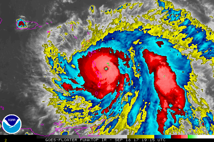
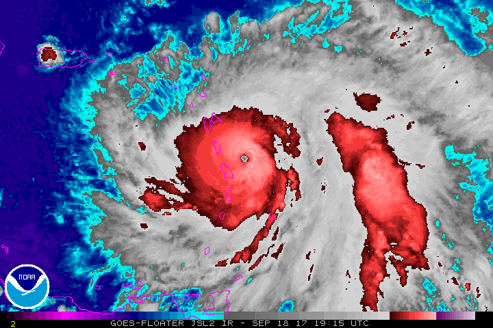
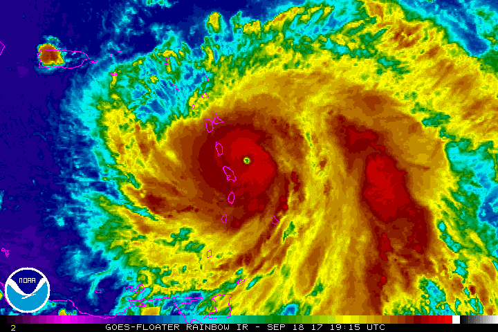
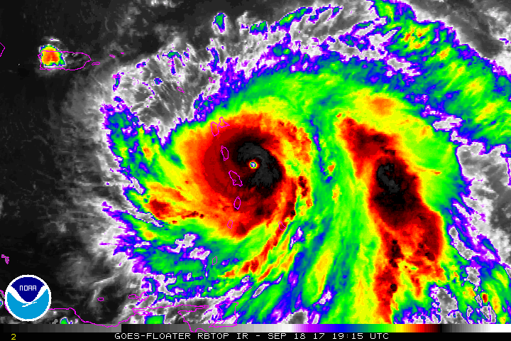
Approaching Dominica
Sept. 18, 2017 1915Z to Sept. 18, 2017 0045Z
(File sizes range from 1.3Mb to 2.5Mb)
AVN |
BD |
FT |
IR |
JSL |
RB |
RBTOP
RGB |
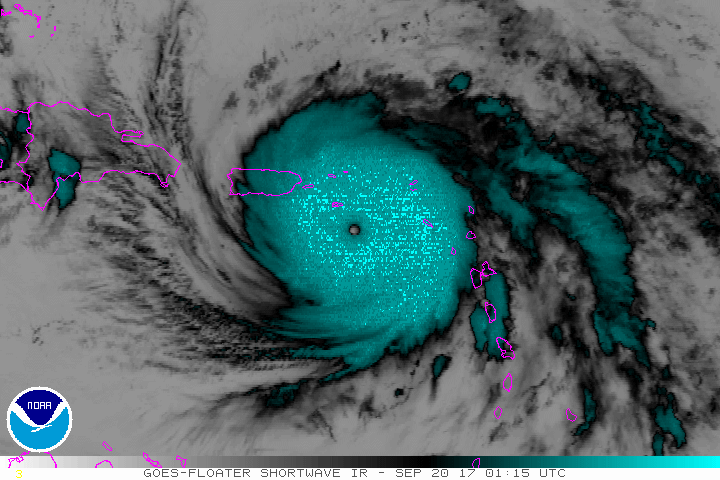
SWIR |
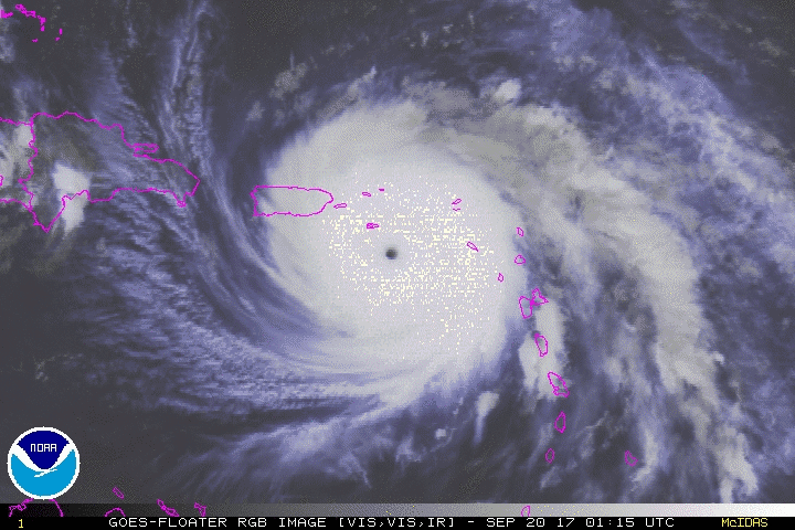
VIS |
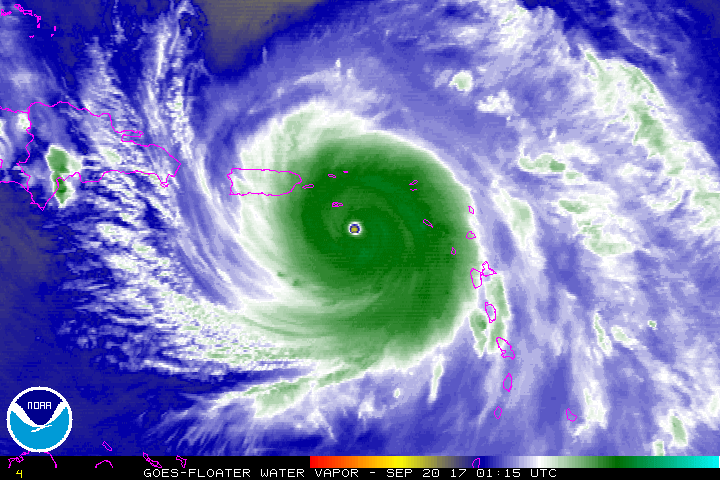
WV
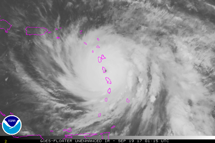
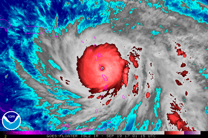
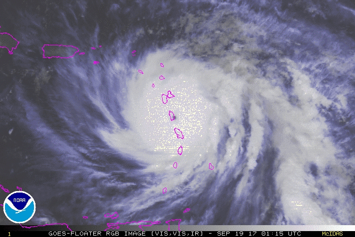
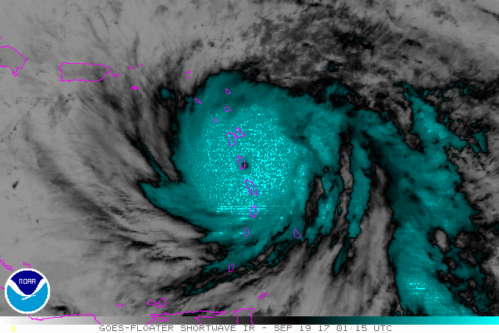
Crossing Dominica
Sept. 19, 2017 0115Z to 0645Z
(File sizes range from 1.3Mb to 2.3Mb)
AVN |
BD |
FT |
IR |
JSL |
RB |
RBTOP
RGB |
SWIR |
VIS |
WV
South of the U.S. Virgin Islands
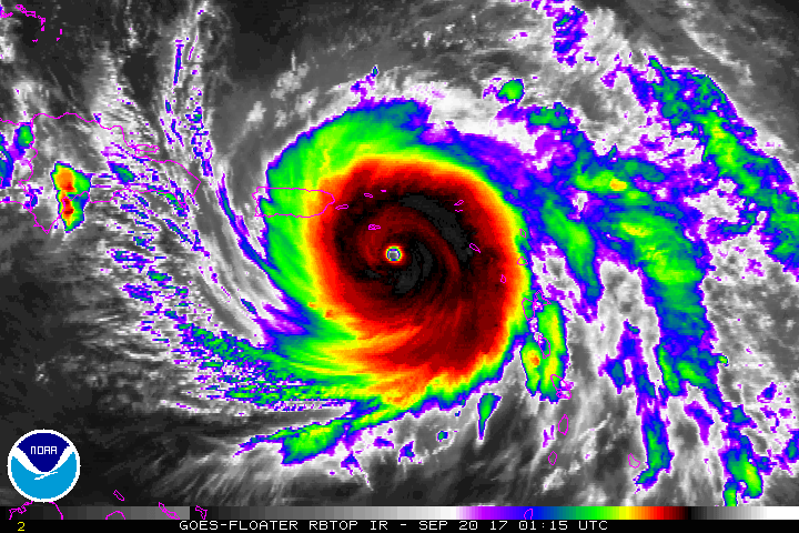
Sept. 20, 2017 0115Z to 0645Z
(File sizes range from 1.3Mb to 2.2Mb)
AVN |
BD |
FT |
IR |
JSL |
RB |
RBTOP
RGB |
SWIR |
VIS |
WV
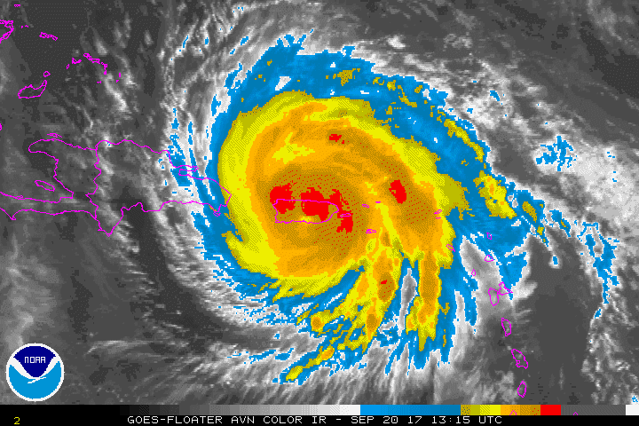
Landfall Puerto Rico
Sept. 20, 2017 0715Z to 1245Z
(File sizes range from 1.3Mb to 2.4Mb)
AVN |
BD |
FT |
IR |
JSL |
RB |
RBTOP
RGB |
SWIR |
VIS |
WV
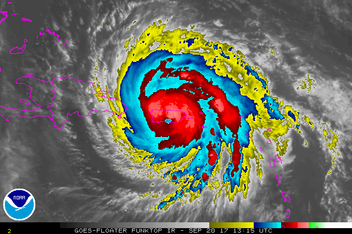
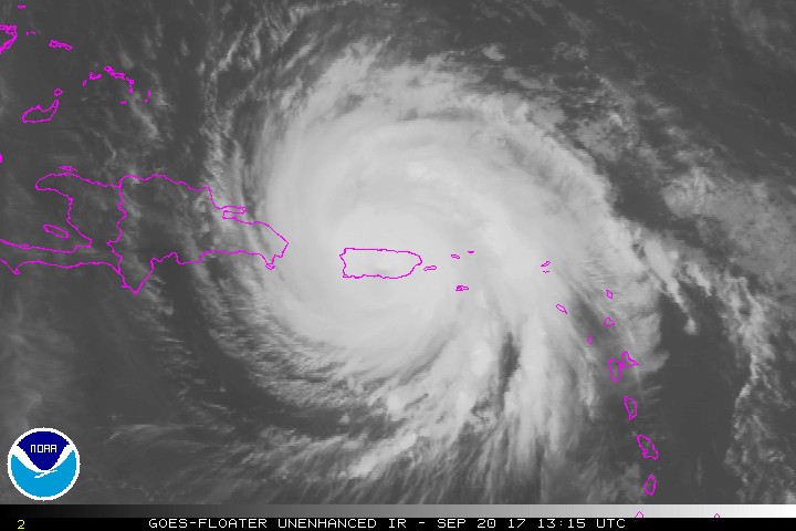
Leaving Puerto Rico
Sept. 20, 2017 1315Z to 1845Z
(File sizes range from 1.3Mb to 2.8Mb)
AVN |
BD |
FT |
IR |
JSL |
RB |
RBTOP
RGB |
SWIR |
VIS |
WV
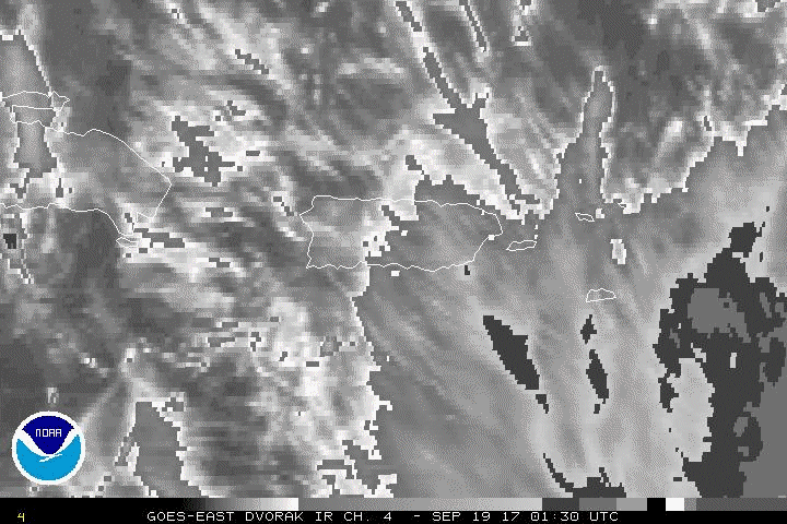
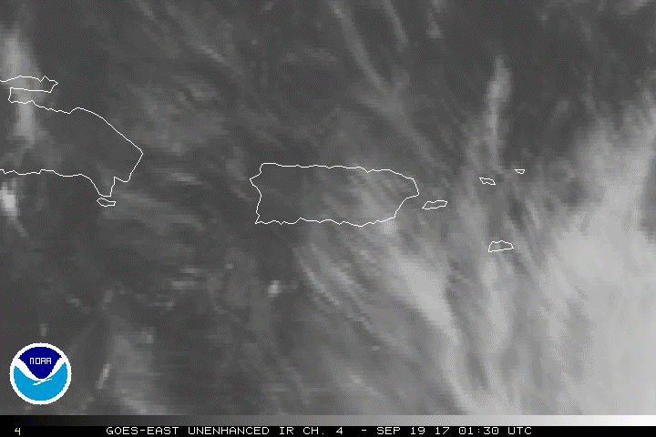
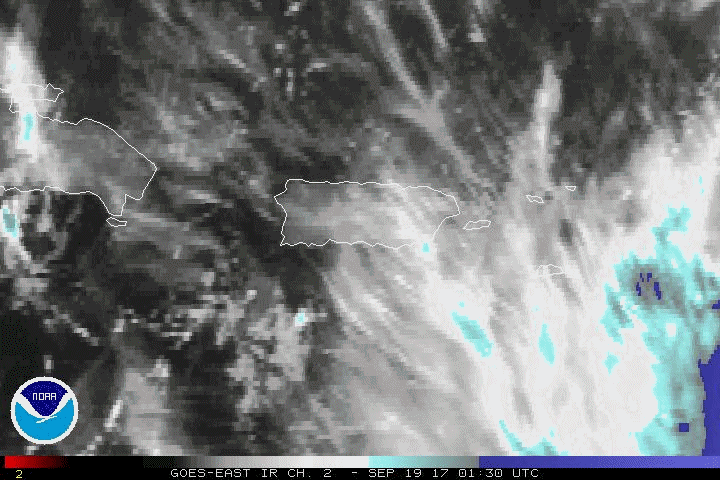
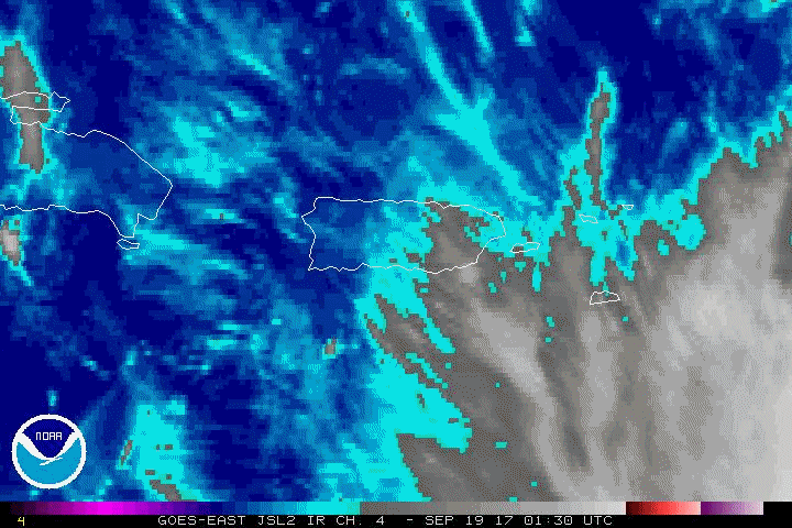
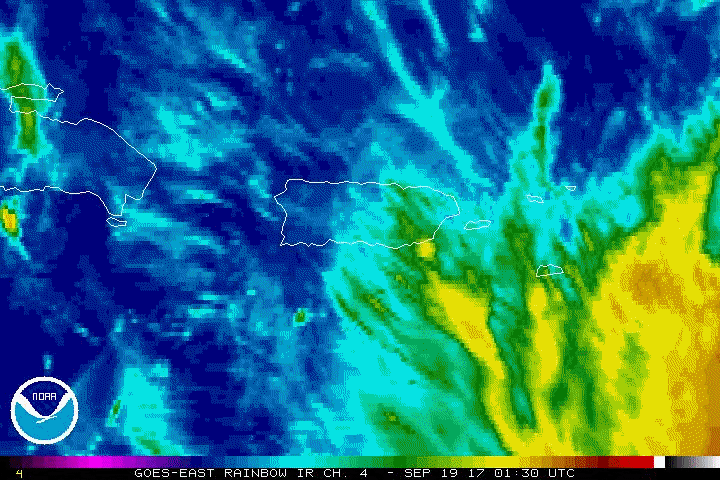
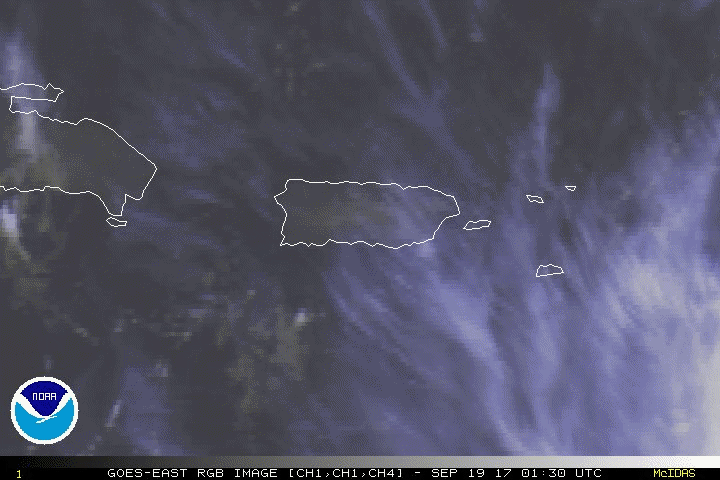
Puerto Rico Area (1 km resolution):
September 19, 2017 01:30 UTC to September 21, 23:30 UTC
(File sizes range from 4.7Mb to 8.8Mb)
AVN |
BD |
FT |
IR |
IR2 |
JSL |
RB |
RGB |
VIS
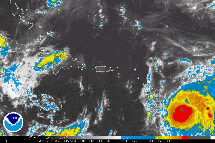
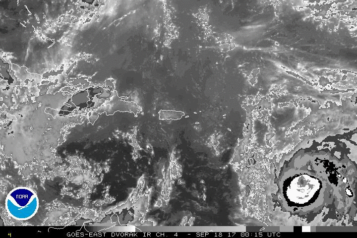
Puerto Rico Area (3 km resolution):
September 18, 2017 00:15 UTC to September 24, 06:15 UTC
(File sizes range from 10.1Mb to 15.1Mb)
AVN |
BD |
FT |
IR |
IR2 |
JSL |
RB |
RGB |
VIS |
WV
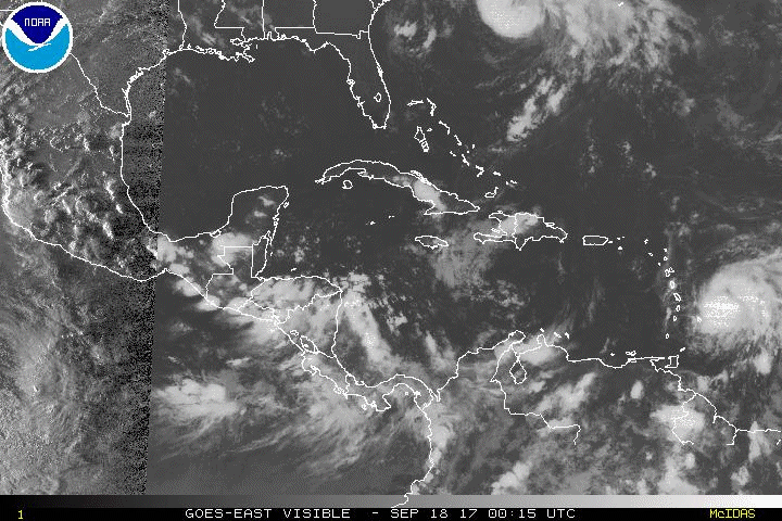
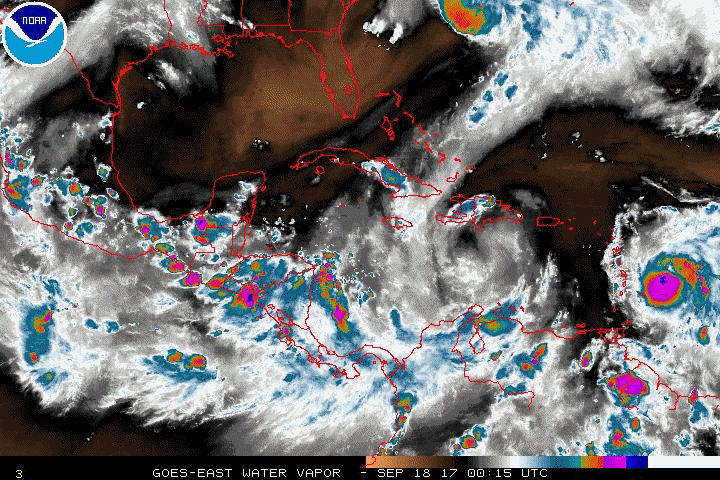
Overview, Western Atlantic
0015Z September 18, to 2215Z September 26, 2017
(File sizes range from 11.5Mb to 15.9Mb)
AVN |
BD |
FT |
IR |
IR2 |
JSL |
RB |
RGB |
VIS |
WV
|


