Images of Hurricane Sandy
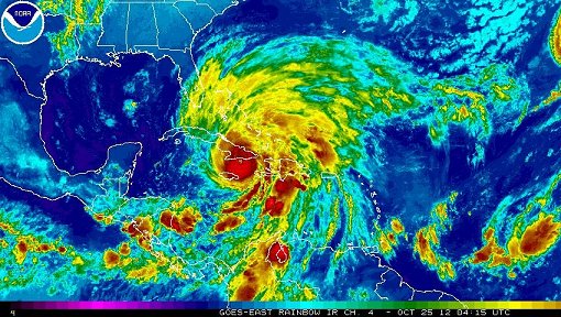
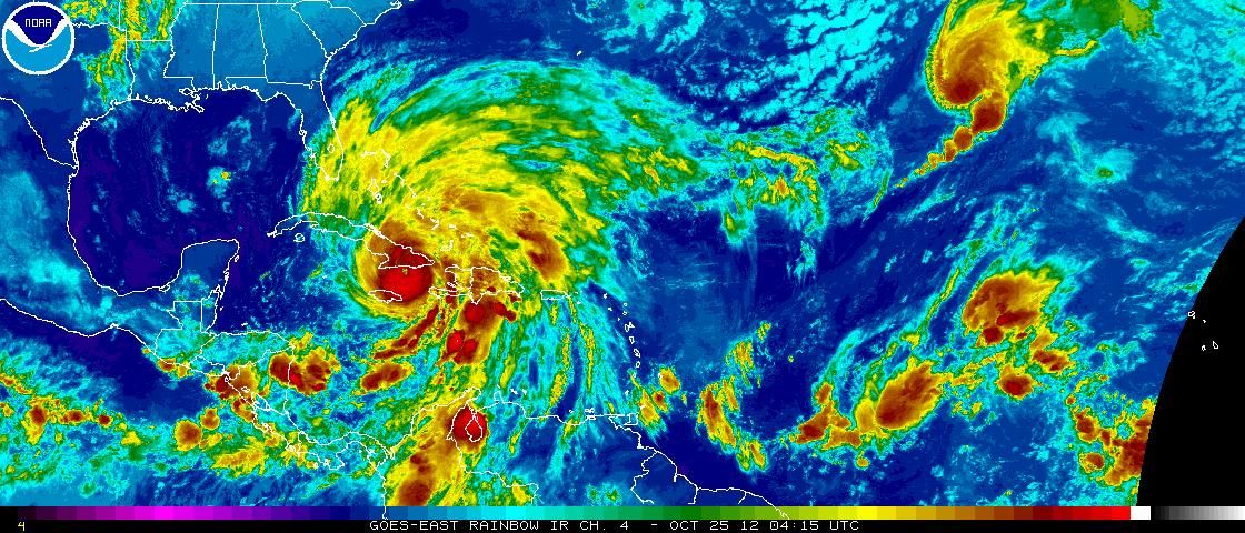
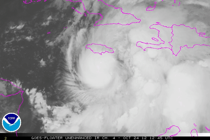
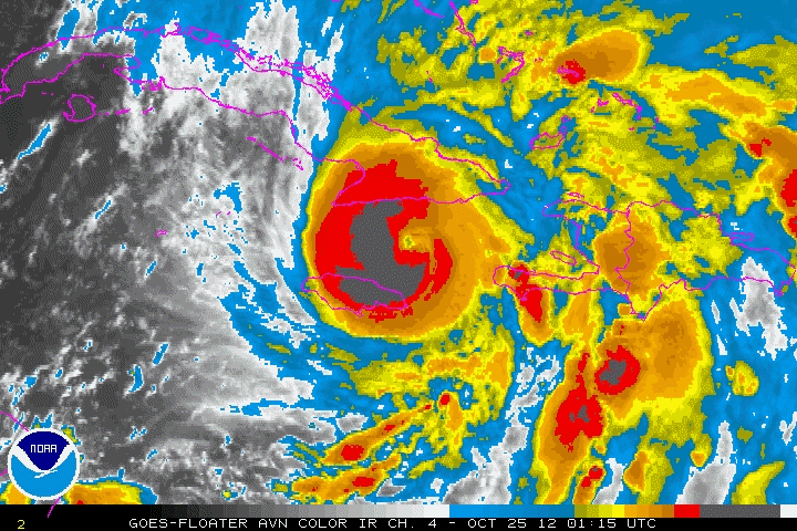
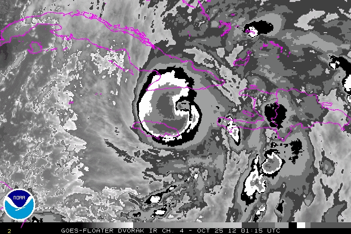
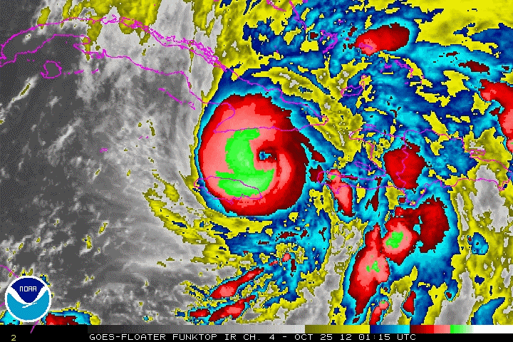
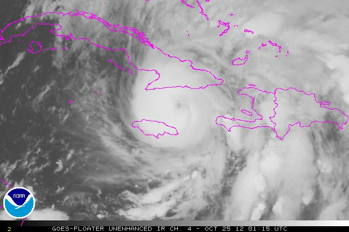
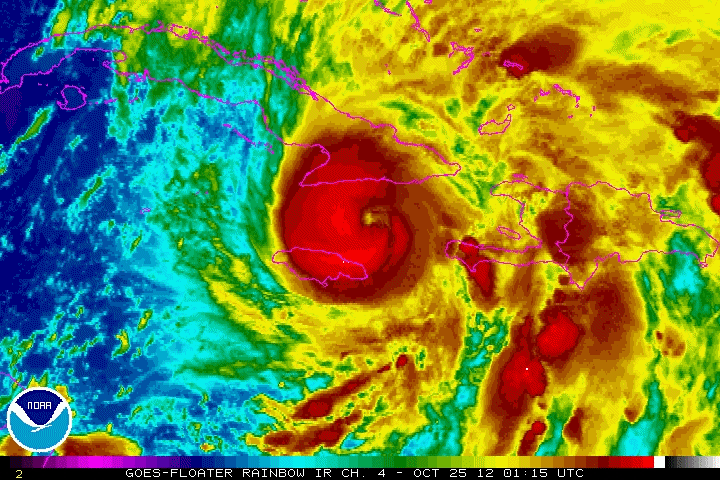
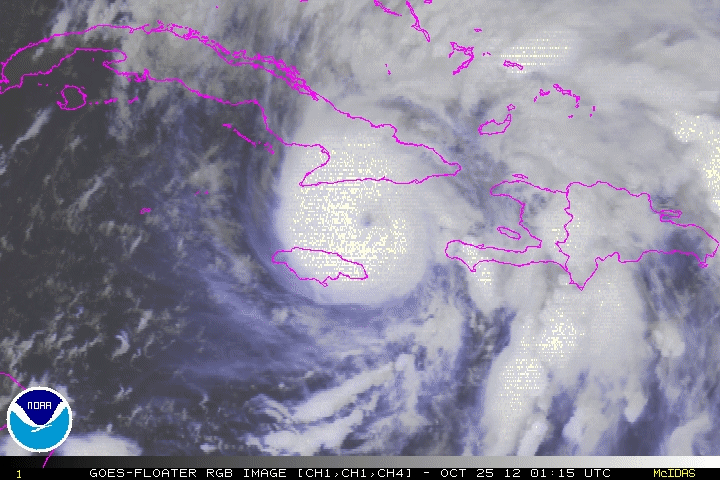
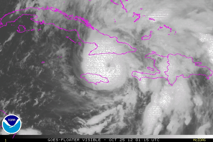
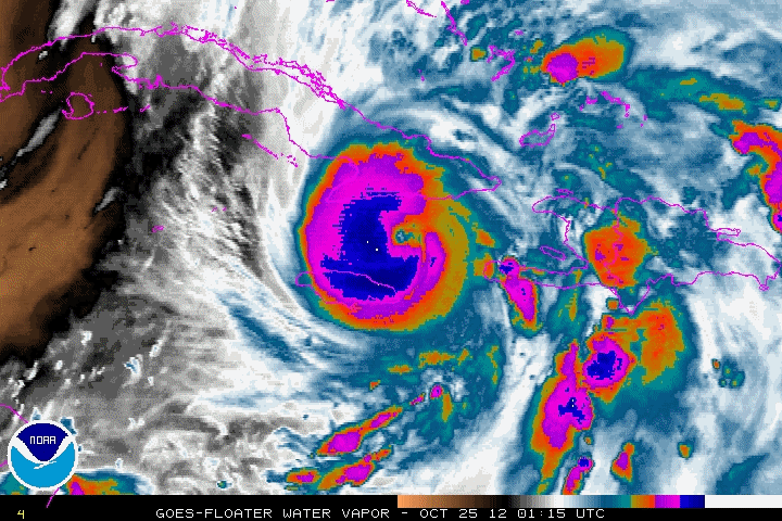
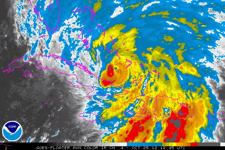
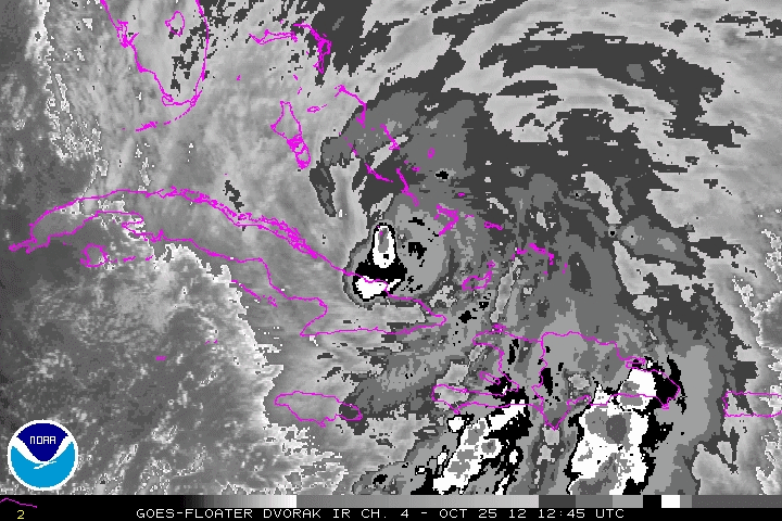
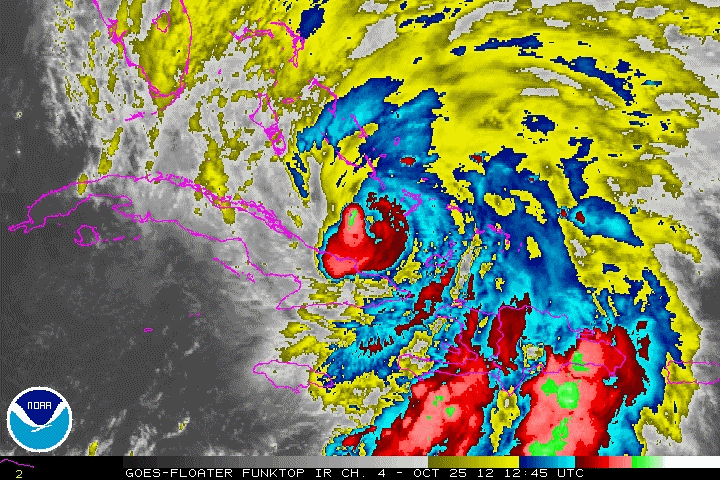
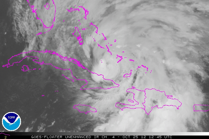
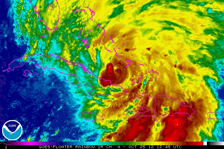
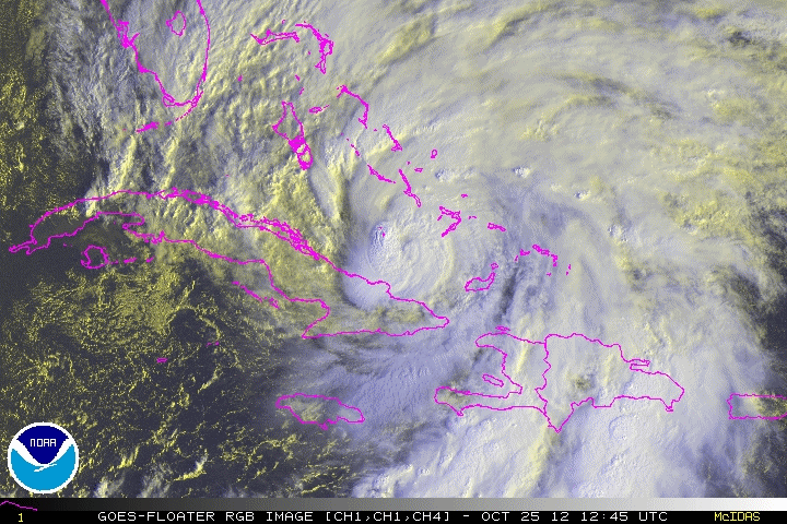
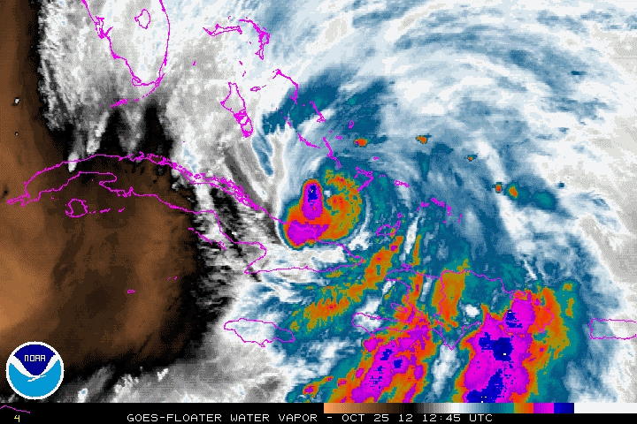
Hurricane Sandy near peak intensity and Landfall in Cuba,
04:15Z, October 25, 2012
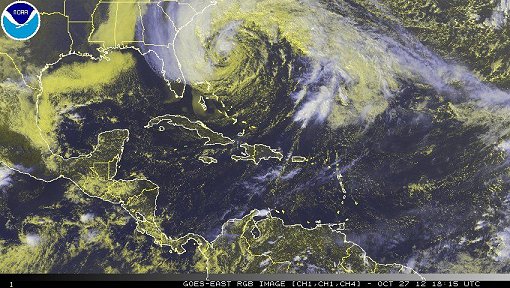
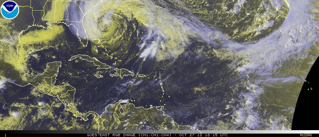
Hurricane Sandy off the Southeast U.S. coast, 18:15Z, October 27, 2012
|
Selected Sandy Animated Gifs
These files are 1-2 Mb in size,
and may take some time to load.
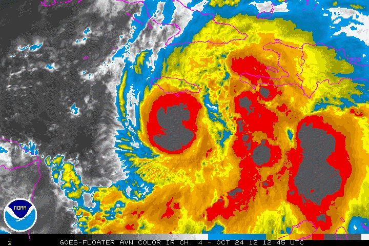
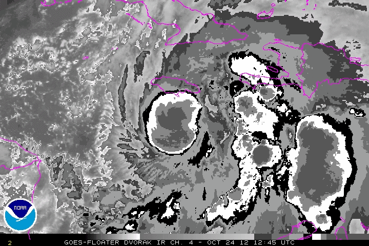
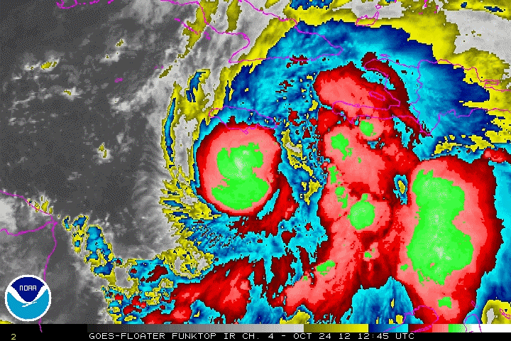
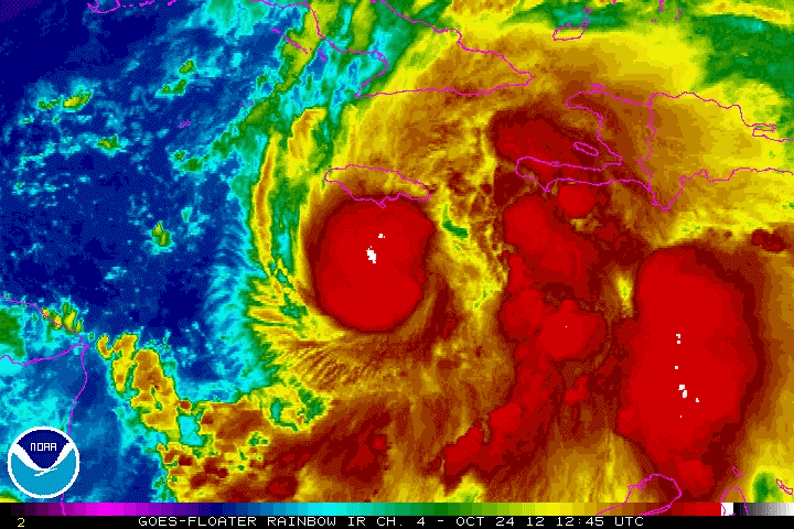
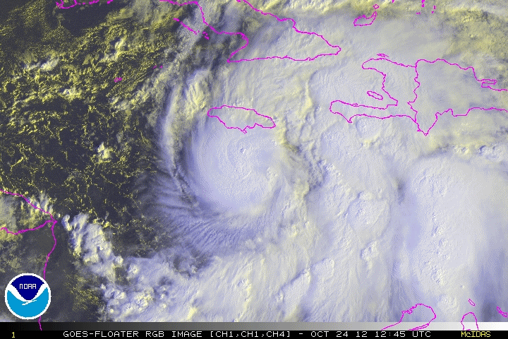
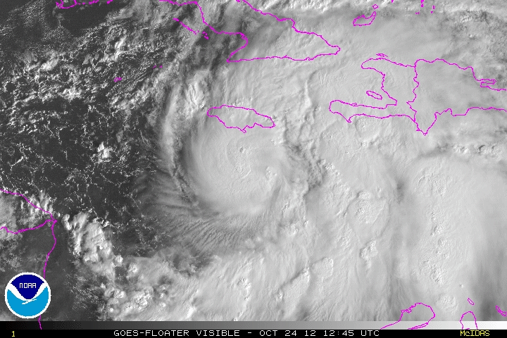
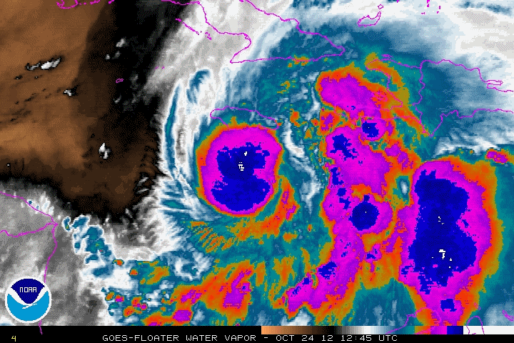
Approaching Jamaica:
October 24, 2012 1245Z to 1815Z
AVN |
BD |
FT |
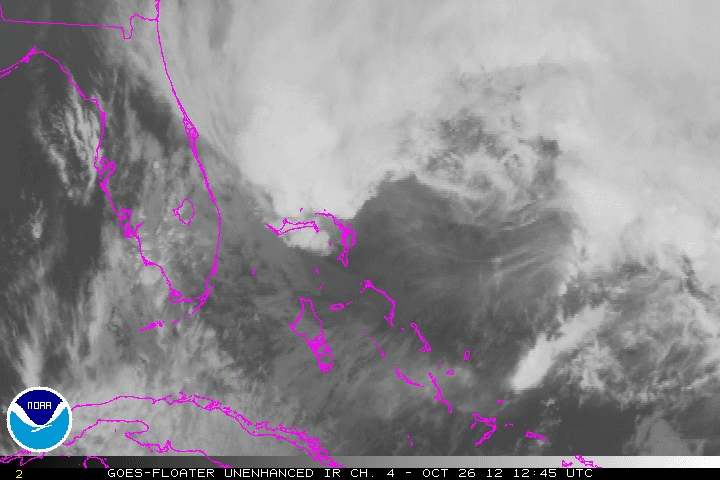
IR |
RB |
RGB |
VIS |
WV
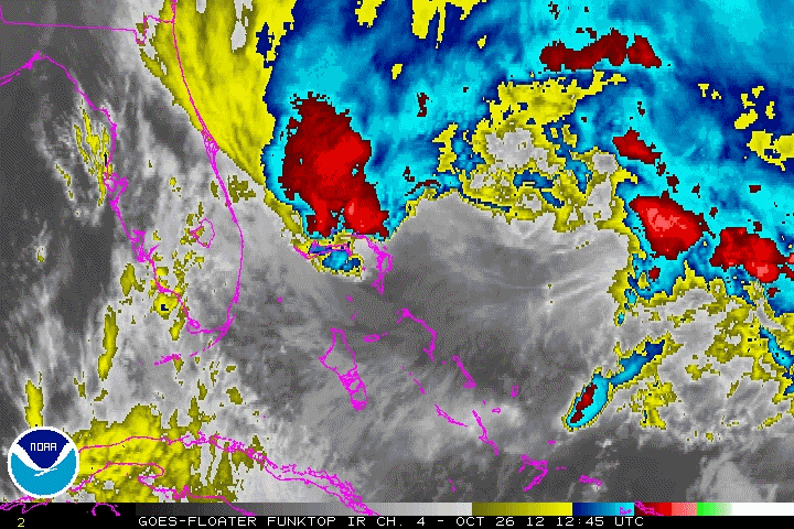
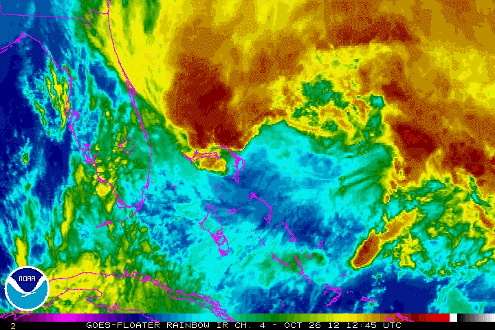
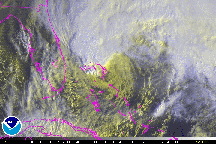
At Peak intensity striking Cuba:
October 25, 2012 115Z to 545Z
AVN |
BD |
FT |
IR |
RB |
RGB |
VIS |
WV
Southern Bahamas
October 25, 2012 1245Z to 1815Z
AVN |
BD |
FT |
IR |
RB |
RGB |
VIS |
WV
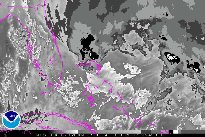
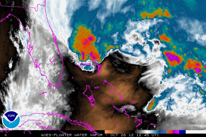
Northern Bahamas
October 26, 2012 1245Z to 1815Z
AVN |
BD |
FT |
IR |
RB |
RGB |
VIS |
WV
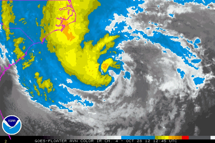
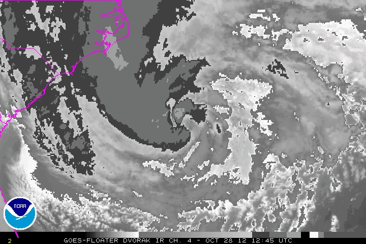
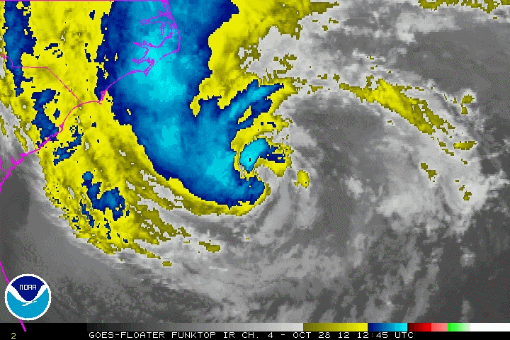
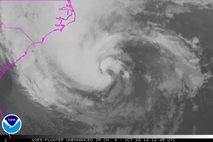
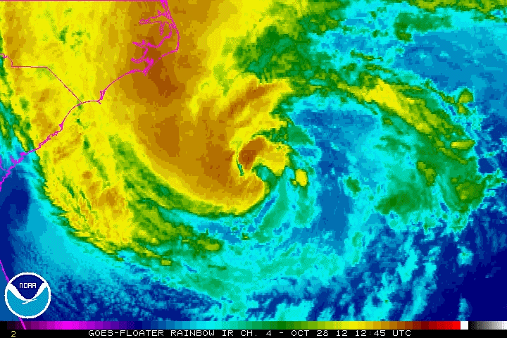
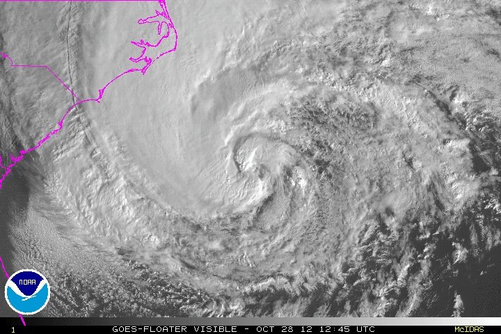
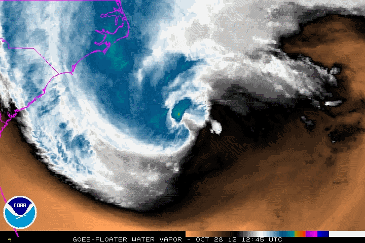
East of Myrtle Beach, South Carolina
October 28, 2012 1245Z to 1815Z
AVN |
BD |
FT |
IR |
RB |
RGB |
VIS |
WV
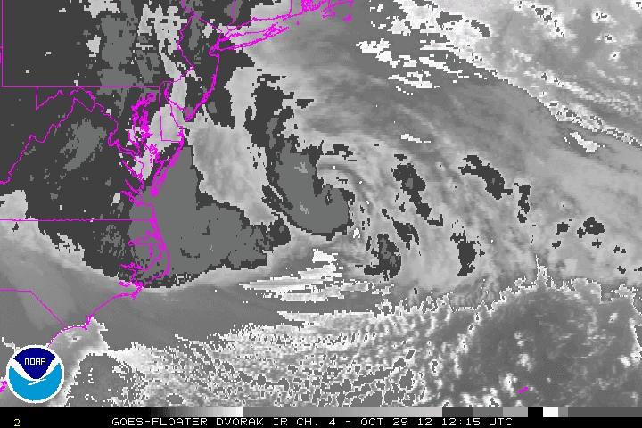
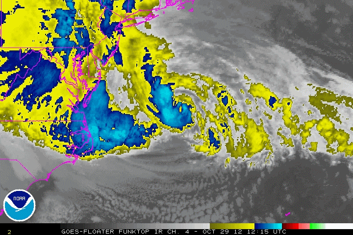
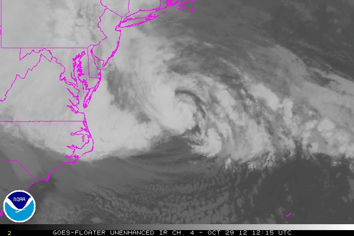
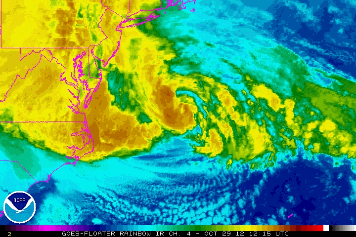
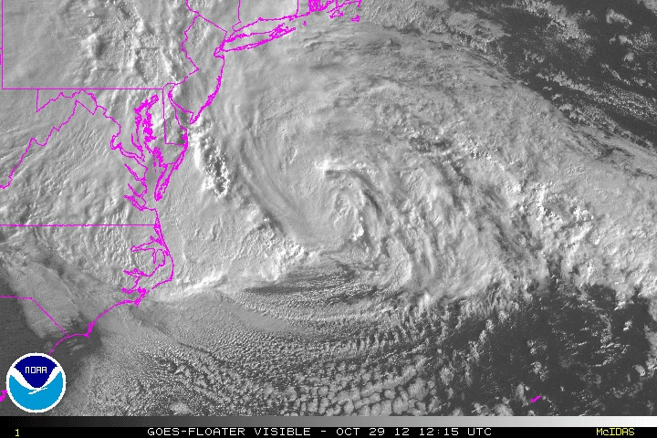
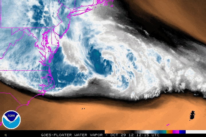
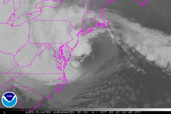
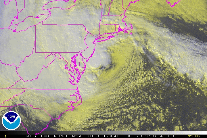
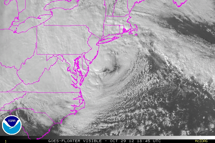
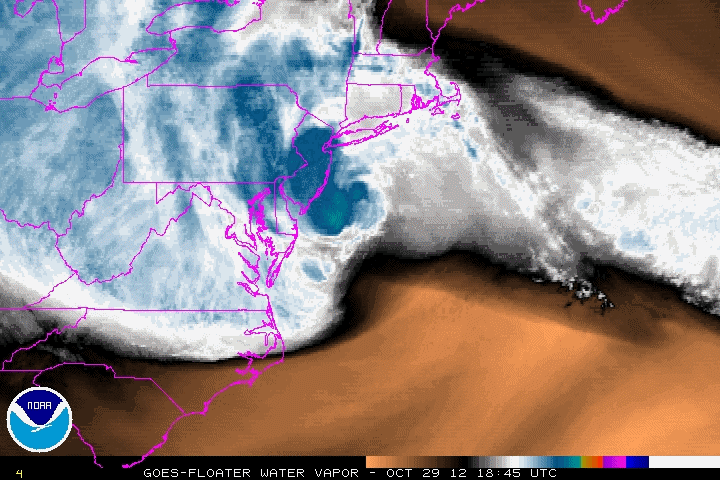
Mid-Atlantic (Delaware)
October 29, 2012 1215Z to 1815Z
AVN |
BD |
FT |
IR |
RB |
RGB |
VIS |
WV
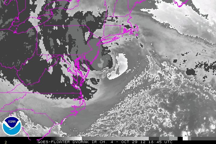
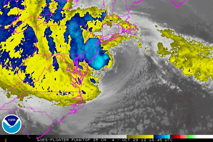
Landfall in New Jersey
October 29, 2012 1845Z to October 30 0015Z
AVN |
BD |
FT |
IR |
RB |
RGB |
VIS |
WV
More complete list of Animated GIFs
Image enhancement and abbreviation information
|