Please click the thumbnails or the links to view full-sized images.
| NOAA 18 | NOAA 19 | MetOp A | MetOp B | DMSP F18 | NPP |

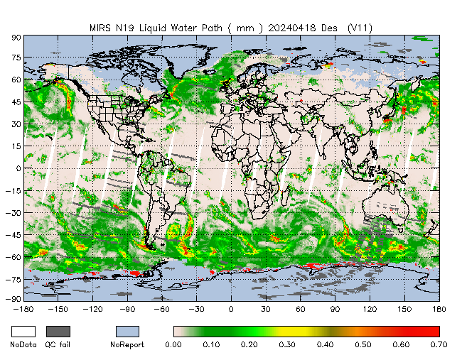
LWP - Des |
LWP - Des |

LWP - Des |

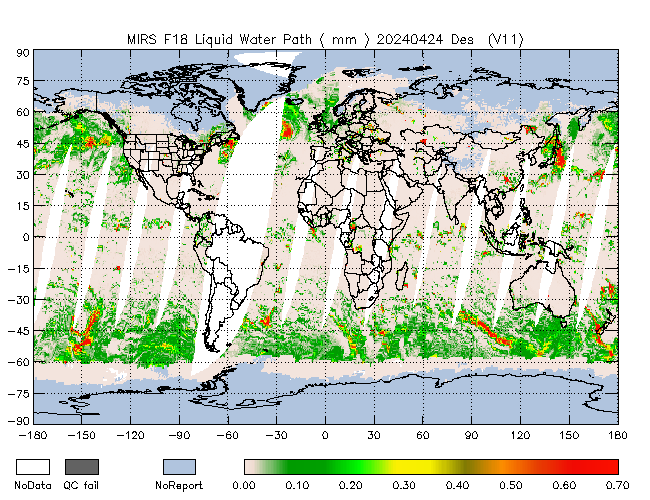
LWP - Des |
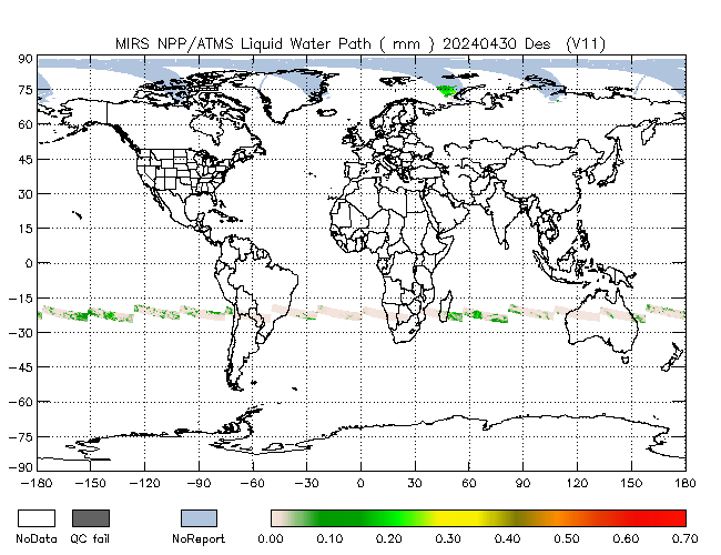
 LWP - Des |
 LWP - Des |

LWP - Asc |
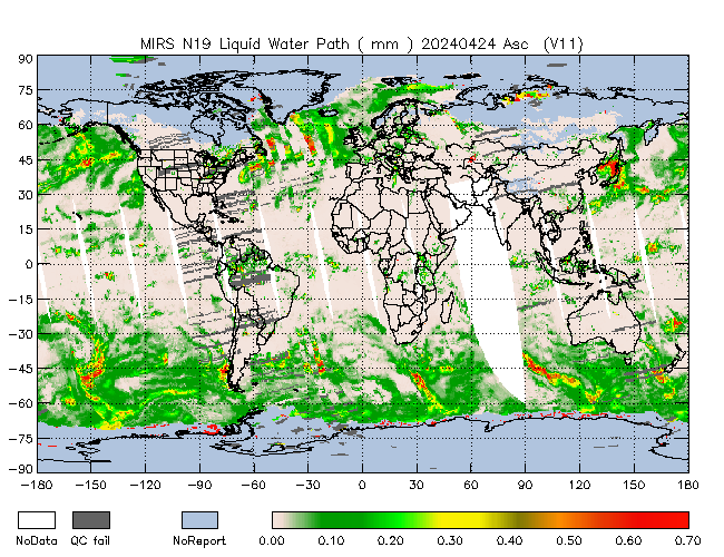
LWP - Asc |

LWP - Asc |

LWP - Asc |
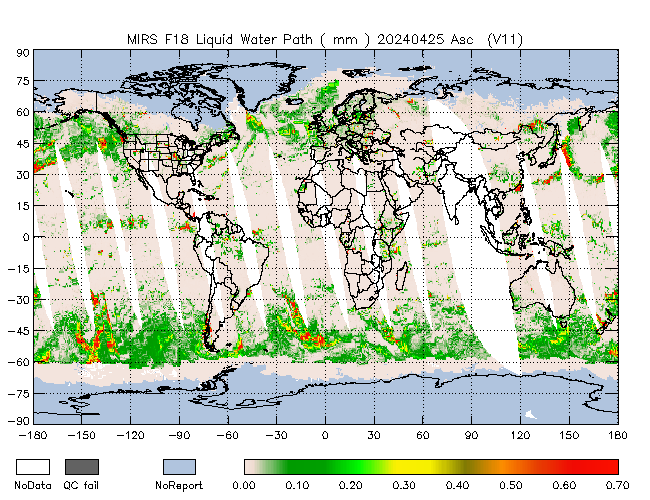 LWP - Asc |
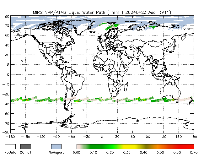 LWP - Asc |
Operational MIRS Products:
Home |
POES Products |
MetOp Products |
DMSP Products |
JPSS Products |
GPM Products |
Validation
MIRS Related Links:
MIRS Overview |
MIRS Research |
MIRS Products Algorithms
Other Links of Interest:
Comprehensive Large Array-data Stewardship System |
National Climatic Data Center |
Polar Orbiter Data and NOAA KLM User's Guides |
SatHealth
Contact the MIRS operational team for more information.