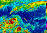

Currently infrared, visible, and shortwave infrared images and loops from MTSAT for Palau, Yap, Marianas, Chuuk, Pohnpei/Kosrae, and the Marshall Islands are provided by the Geostationary Satellite Server.
MTSAT | Resolution: Varies | Frequency: Hourly