VIIRS Land Surface Albedo (LSA)
Surface Albedo (SURFALB), defined as the ratio between solar radiation reflected by Earth's surface and solar radiation incident at the surface, is a function of both solar illumination and the surface reflective properties. SURFALB is an essential variable linking the earth surface and the climate system. It is a unique property for studying how surface changes affect the energy balance and the overall climate system.
The VIIRS surface albedo is retrieved with a direct estimation method, which directly links surface broadband albedo with VIIRS TOA reflectance through statistical modeling. The direct retrieval and temporal filtering algorithms are implemented into two separate modules in the software development. The online processing part employs the direct retrieval algorithm to generate Primary Surface Albedo (“VIIRS_Albedo_IP”) from VIIRS clear-sky observations (Figure 2-1). Data gaps in the clear-sky albedo granule are then filled using the historical albedo information, which come from the temporal filtering algorithm (the offline processing part). The gap-filled albedo granule is also known as Improved Surface Albedo (“VIIRS_Albedo_EDR”).
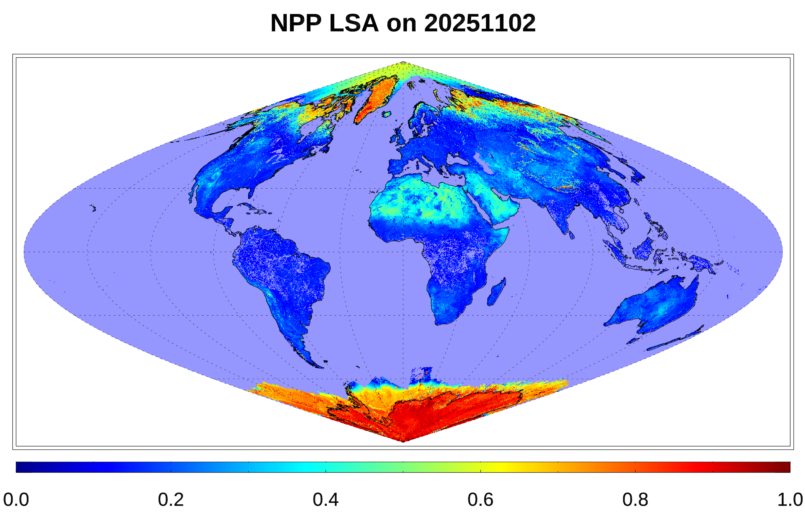
VIIRS land surface albedo (SURFALB) dataset in NOAA operational system provides real-time global daily mean surface albedo, which is an inevitable parameter in the estimation of daily shortwave net radiation budget. The current operational Level-2 (L2) albedo product produce granule-based albedo data at 750 meter (m) resolution and has been operational since Sep 2019 on both SNPP VIIRS and NOAA-20 VIIRS. A Lever-3 (L3) grid-based data at 1 kilometer (km) resolution is also available now.
For more information view our documents page VIIRS Land Surface Documents.